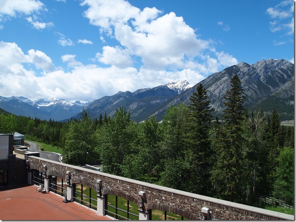
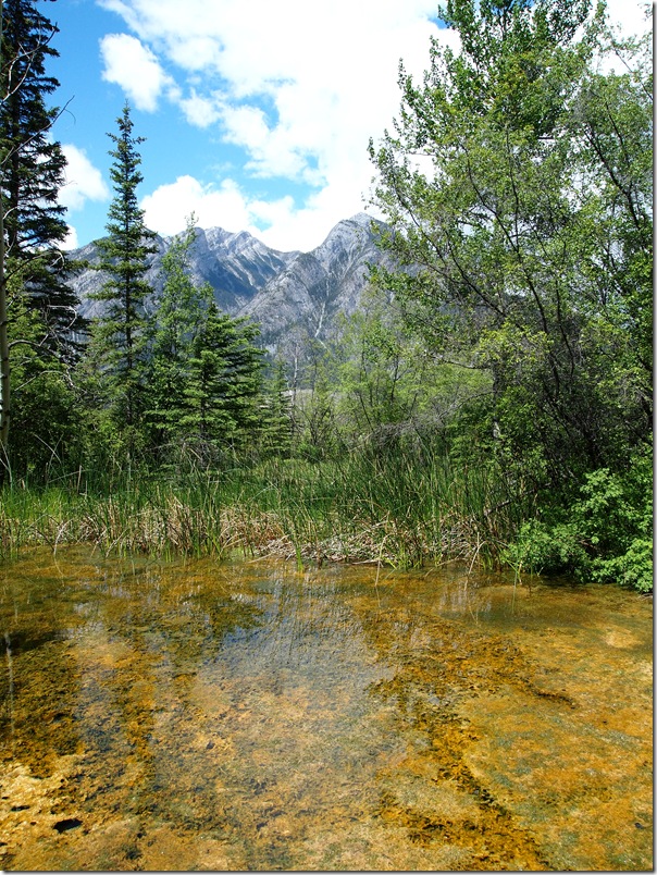
The sunny weather that came yesterday continued today. We started the day by heading into town for some breakfast and to look around a bit more. Below is a photo looking up Banff Avenue.
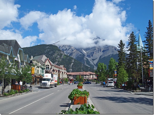
Although the weather is good, the rain from days earlier that have caused so many road closures across southern Alberta are limiting our activities somewhat. We’re still unable to get out of the area to the east toward Canmore or north past Lake Louise. Also, many low lying places in the immediate area are also closed off. Therefore, we decided to just explore whatever we could.
Below is a nice picture of our hotel, the Fairmont Banff Springs, from across the Bow river.
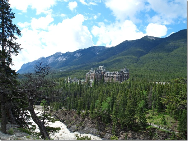
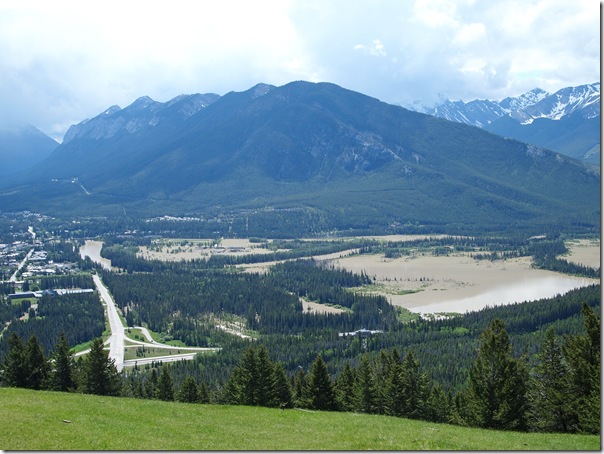
We took a drive up toward the Norquay ski area for a view of the area. The photo below shows us why access to the Vermilion Lakes has also been closed off.
We then drove out to the Cave and Basin National Historic Site.
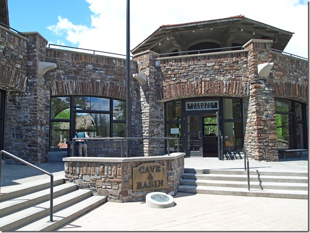
The discovery of the Cave and Basin was the beginning of Canada’s National Park system. This site has recently opened after a three-year renovation by Parks Canada, and is very well done.
Below are some photos from inside the sulphurous cave first uncovered in the late 1800’s.
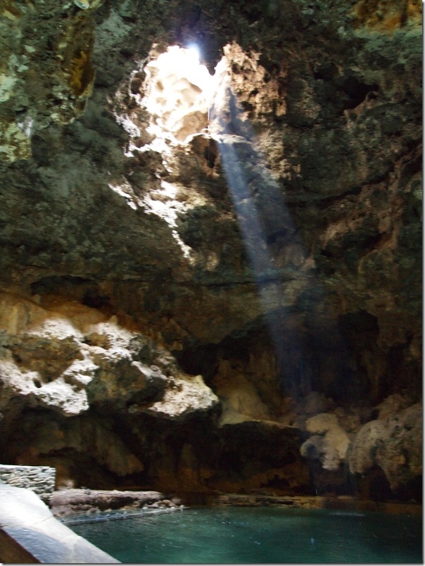
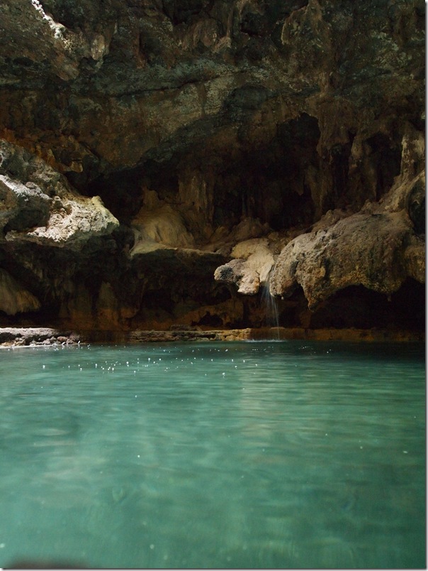
There is an excellent museum and interpretative centre here.
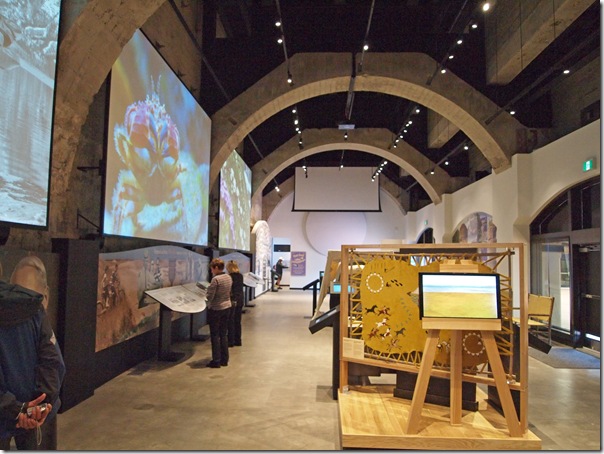
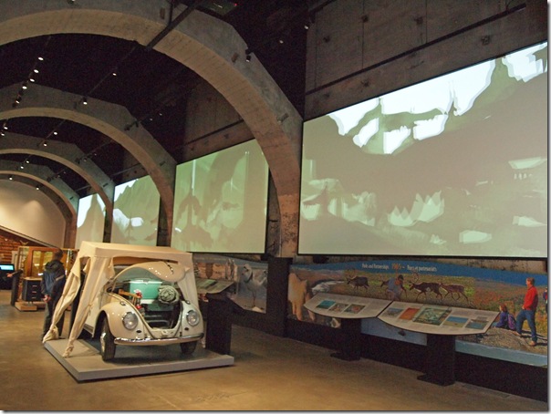
Following are some photos of the area outside.
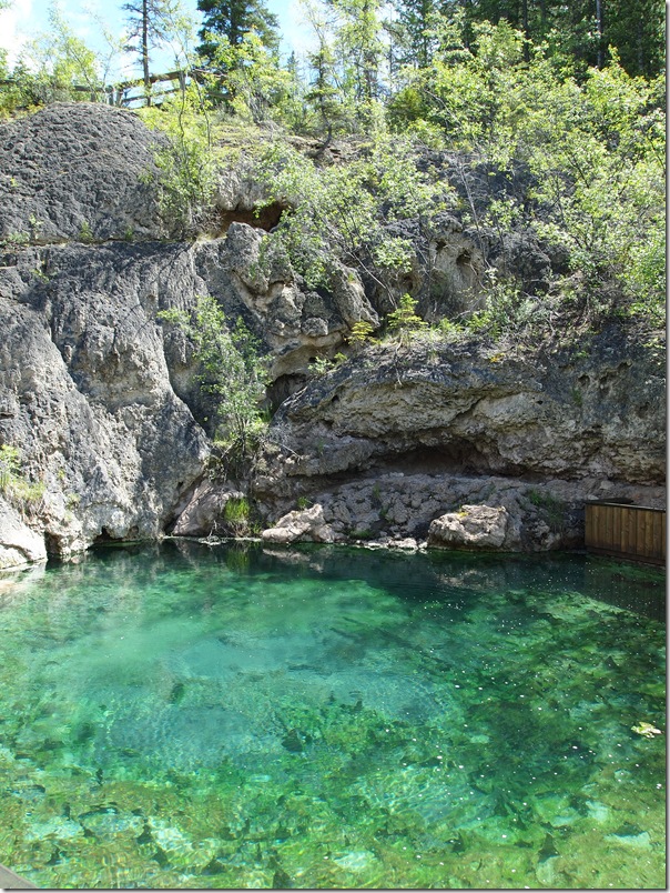
We then returned to the hotel for another nice dinner in the Rundle Lounge.
At this point, it’s confirmed that we will have to cut our time in Banff short by a day. The Trans-Canada Highway #1 east of Banff is still closed and unlikely to open any time soon. Because the only alternate routes to Calgary involve a very long drive, we don’t want to leave Banff on the same day that we need to catch our flight.
The only officially open route now involves driving up to Lake Louise and then west through the Kicking Horse Pass into BC, turning south at Golden, turning back east into Alberta through the Crowsnest Pass, and then north into Calgary on Highway #2. This route will take about 11 hours, or possibly more depending on detours through some of the other flooded areas south of Calgary.
A better option, and it is now looking hopeful, is a 6-hour drive up the Icefields Parkway to Saskatchewan Crossing, east to Red Deer, and then south into Calgary on Highway #2. Still much longer than the standard 1-hour drive through Canmore, but better than the southern alternate route.
Whichever route we end up taking, it looks like we’ll be checking out of Banff tomorrow morning to spend tomorrow night in Calgary.

