Today we’re heading back to Lake O’Hara. Unfortunately, the skies are starting to get smoky again, so it’s a good thing we did an alpine hike yesterday when the views weren’t too bad.
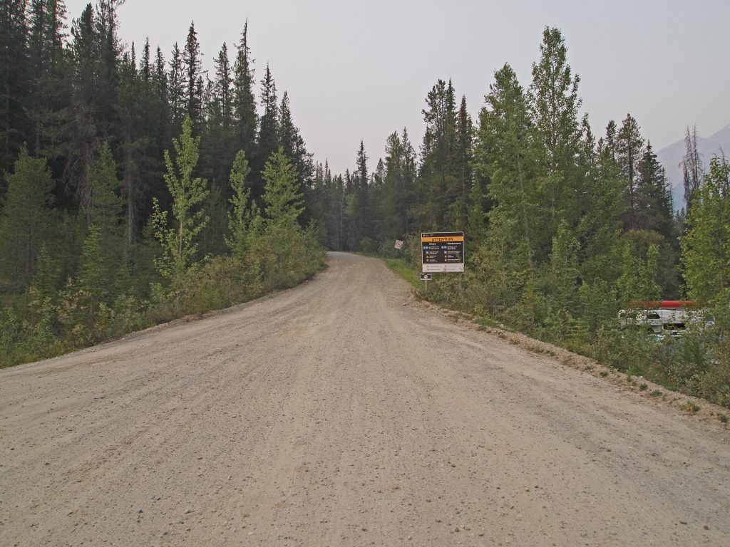
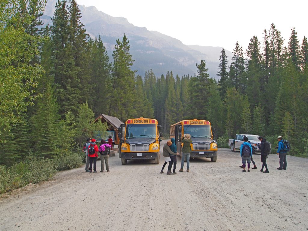
Arriving at the Lake O’Hara parking lot, we got checked in for our bus ride up to the lake.
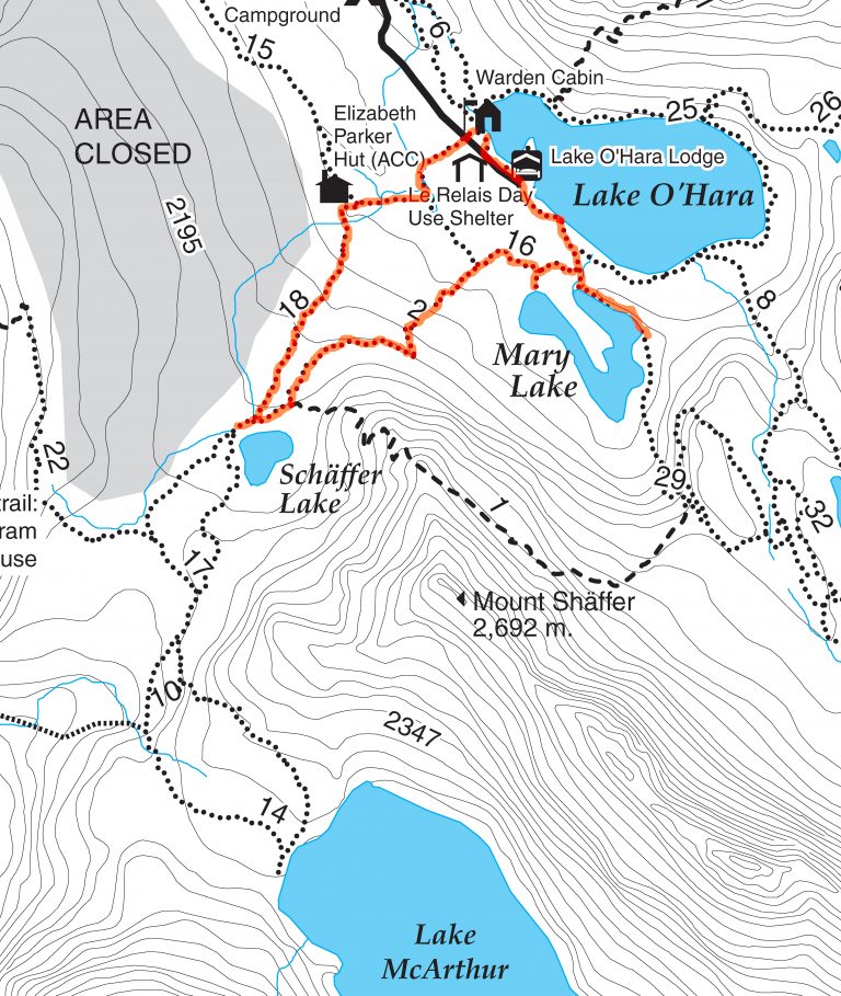
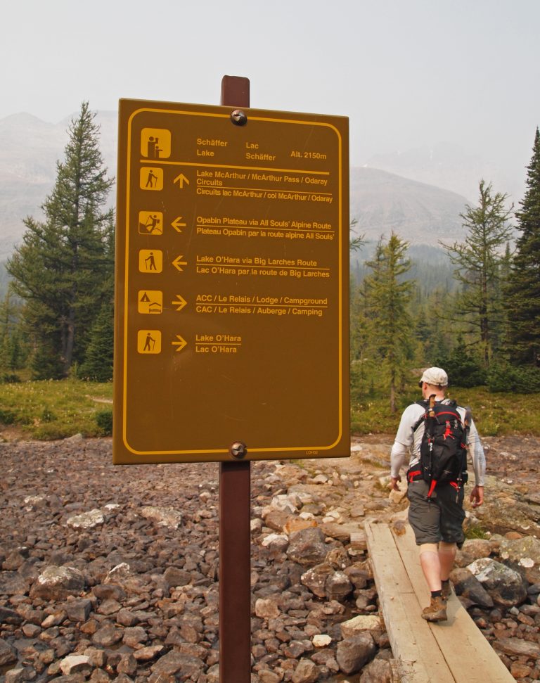
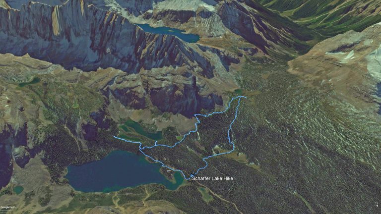
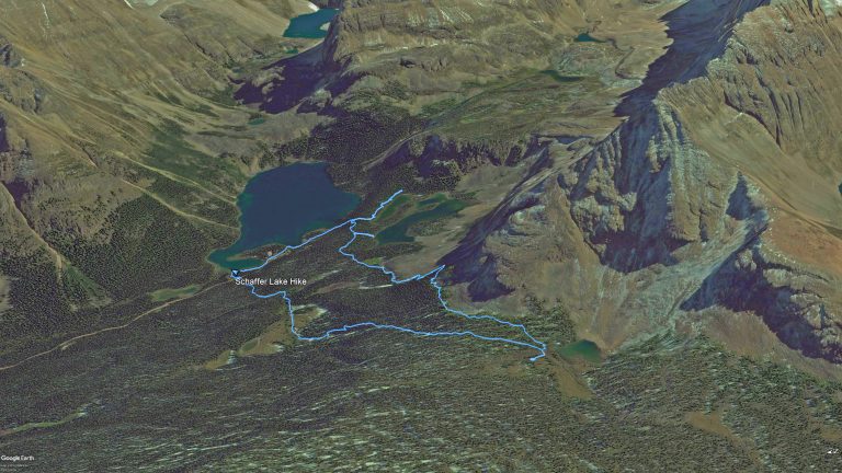
We decided to do a lower elevation hike where the lack of clear skies would be less of a problem. Therefore, the plan was to head out to Schaffer Lake. Our plan was to head up one trail and back via another, so we could see as much as possible.
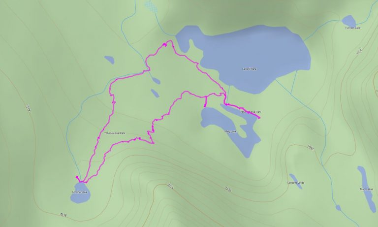
Below is our route map. We thought we’d start by heading out toward the West Opabin Trail, and go as far as Mary Lake for a quick look. We would then backtrack a short ways, and pick up the Big Larches Route to Schaffer Lake, where we would stop for lunch. On our return, we would take the Alpine Meadow Trail, which takes us out behind the Elizabeth Parker Hut and then to Le Relais.
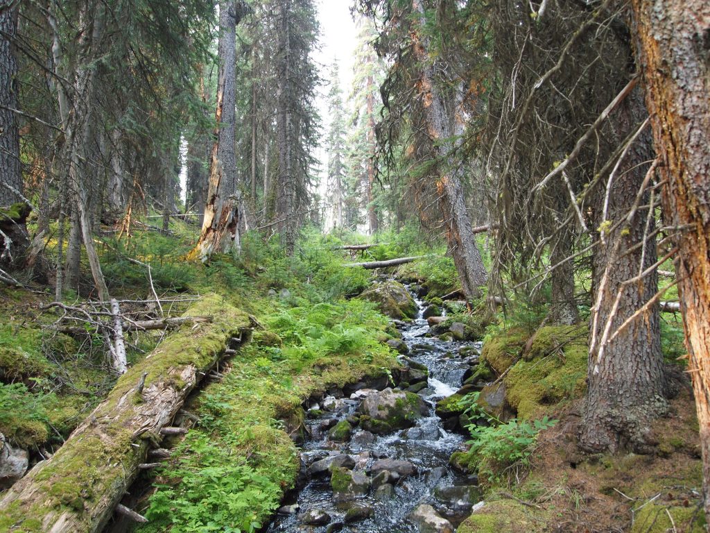
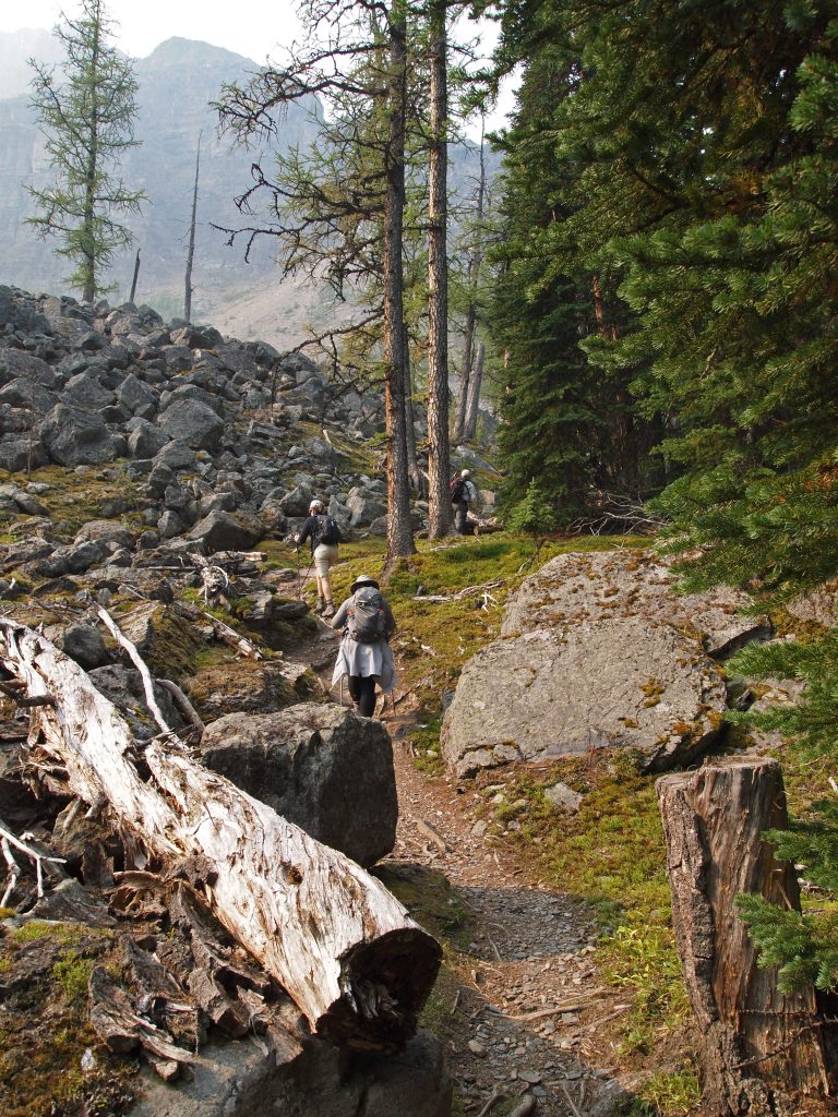
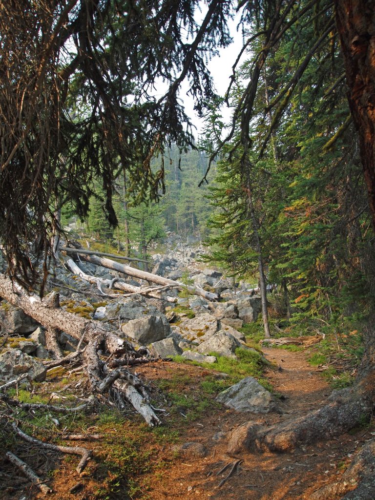
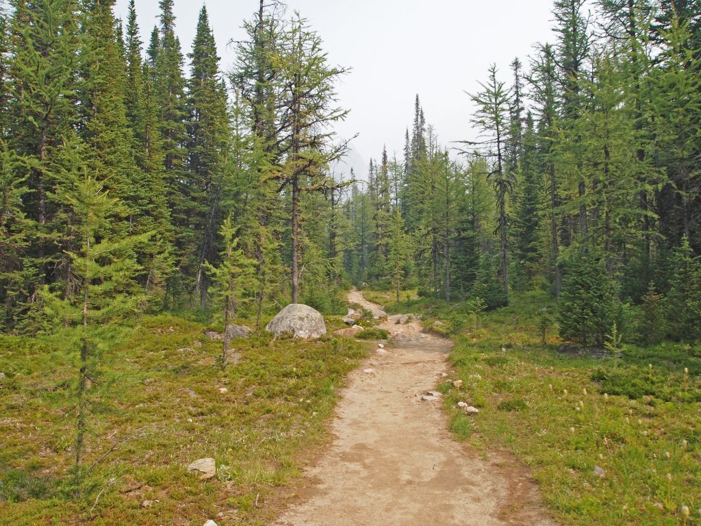
The trail started out through the forest toward Mary Lake.
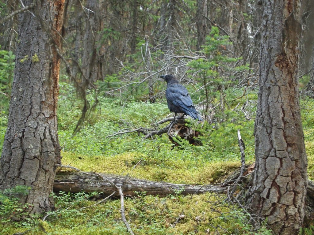
We followed this giant Raven up the trail for a while. He bounced along the trail, seemingly unconcerned about our presence behind him.
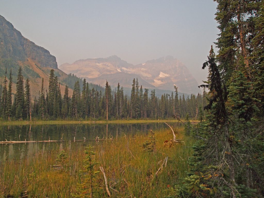
Arriving at Mary Lake, it became clear that the skies are smoky today, and that the smoke just seems to be stuck in this area, perhaps contained by all the large mountains around us.
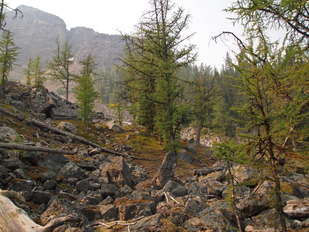
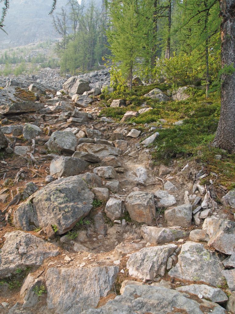
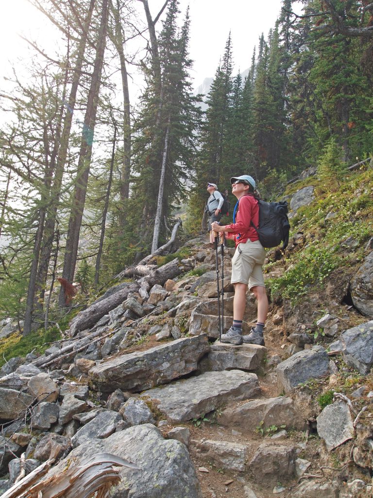
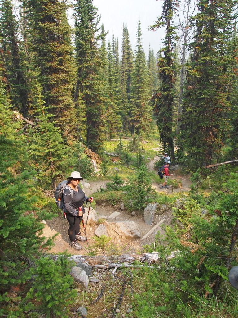
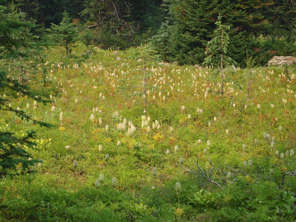
We headed up the Big Larches Trail, which mostly hugs the edge of the forest, but remaining in the open, heading up a slope of large rock. It has also be come very evident where this trail gets its name. This trail is just filled with Alpine Larch trees. I expect this will become much more beautiful in another month when they start to turn a golden yellow.
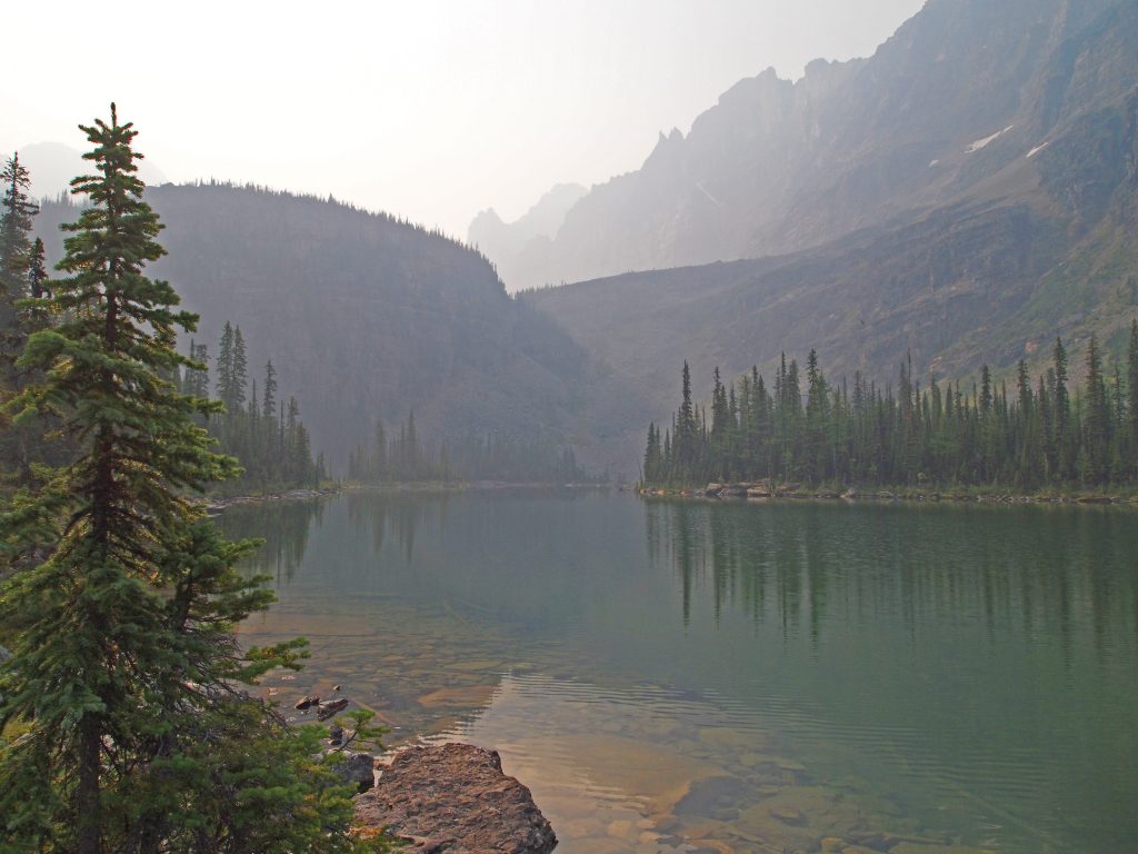
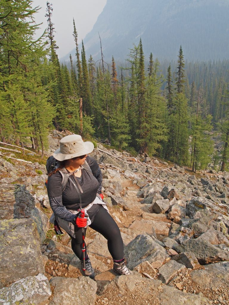
Here we are all gazing back at the view behind and below us. I can see this would be quite beautiful on a clear day.
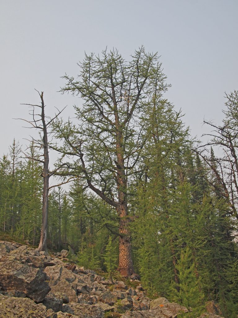
A little over 3 km into our hike, and we came across this massive Alpine Larch tree, far larger than the others in the area.
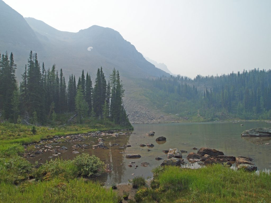
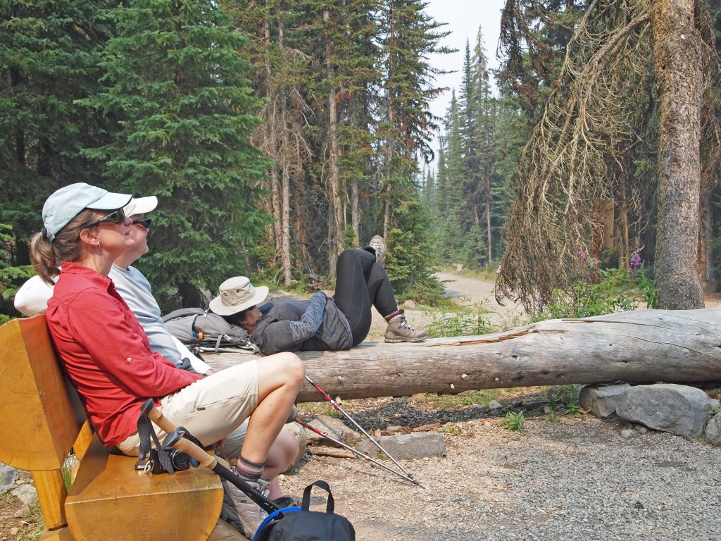
At close to 4 km into our hike, we arrived at Schaffer Lake.
We found a nice spot to sit down and break out our lunch. After a nice rest and a bit of bird watching, we headed back toward Lake O’Hara. I suppose we could have pushed on to Lake McArthur, but with the skies all socked in with smoke, it made more sense to just head back.
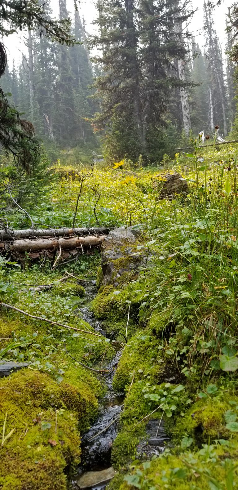
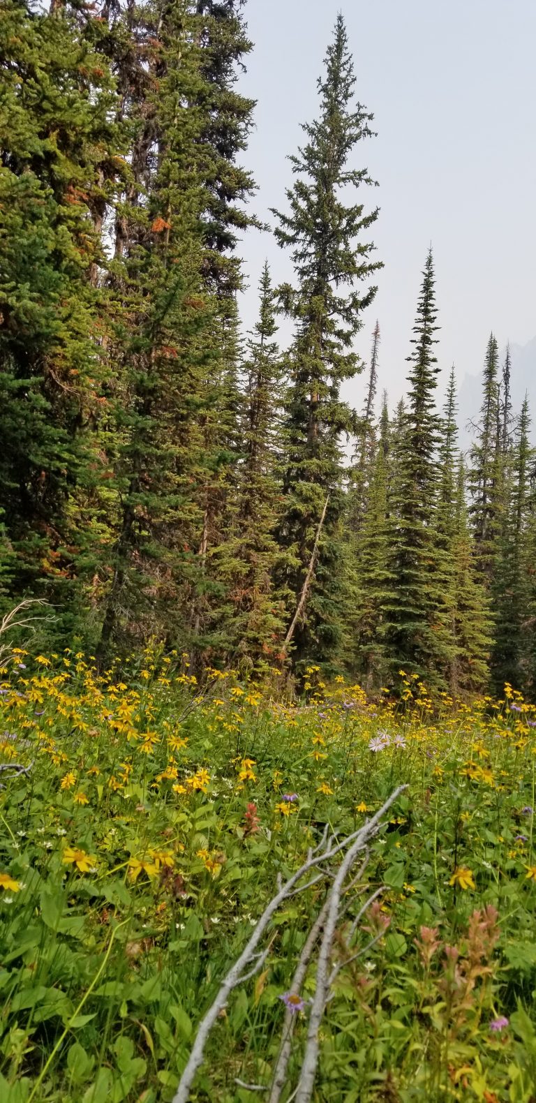
The Alpine Meadow Trail back, is also as the name suggests. It was often in the forest, but with nice clearings of wildflowers.
Arriving back at Le Relais shelter around 1:15, we relaxed and waited for the 2:30 bus out.
As we waited for the bus, a rather large family of about a dozen people came by to wait. As it turns out, they didn’t have bus tickets and had walked in. Basically, they hiked the 11 km up the fire road, and then did a quick loop around the Lake O’Hara Lakeshore Trail. I couldn’t help but think what an awful waste of time and energy that must have been. To spend hours hiking up a very boring dirt road, only to do a quick look around, and then try for a spot on an outgoing bus. I’ll never understand why they did it, but to each their own, I suppose.
Below are some satellite images made from our GPS tracks recorded during the hike.
For those of you who would like them, I’ve uploaded our GPS track files here for download.
Here are the tracks on a flat topographic map along with the elevation profile.
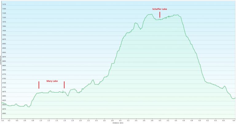
It was a short hike at only 5.3 km. Max elevation was 7,124 feet and minimum elevation was 6,592, for a net gain of 532 feet. Total ascent/descent was 714 feet.
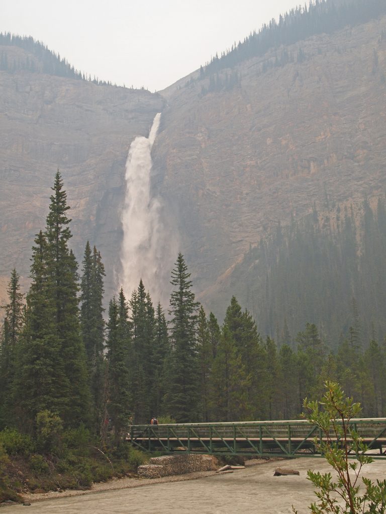
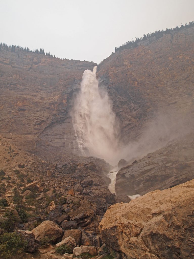
Back at the parking lot, it was still early, and since we’re already so close, we headed over to Takakkaw Falls.
Feeling like Italian for dinner, we called the Chateau Lake Louise and got a table at Lago for this evening. Our meals were great, as usual, and I think I had just enough pepper!