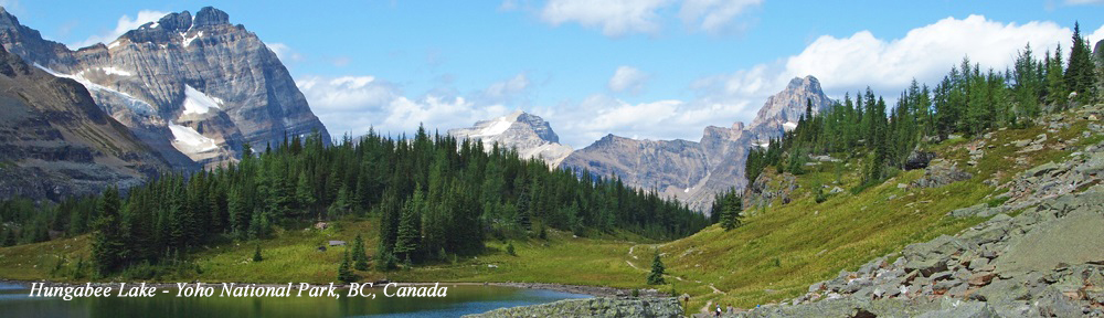
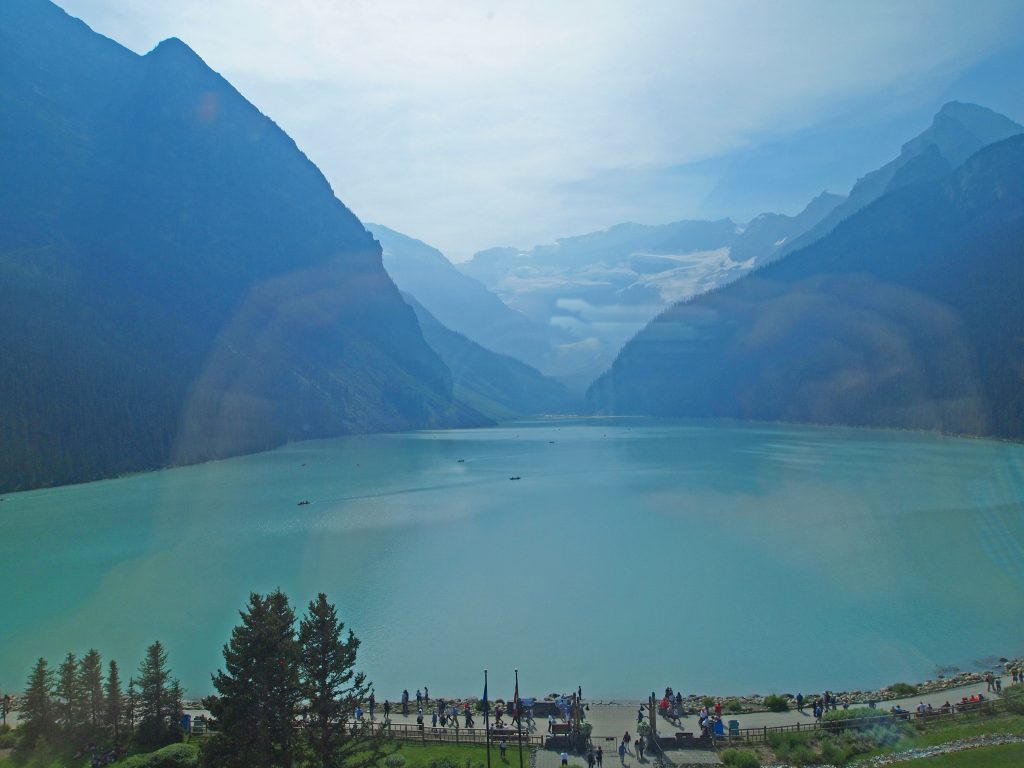
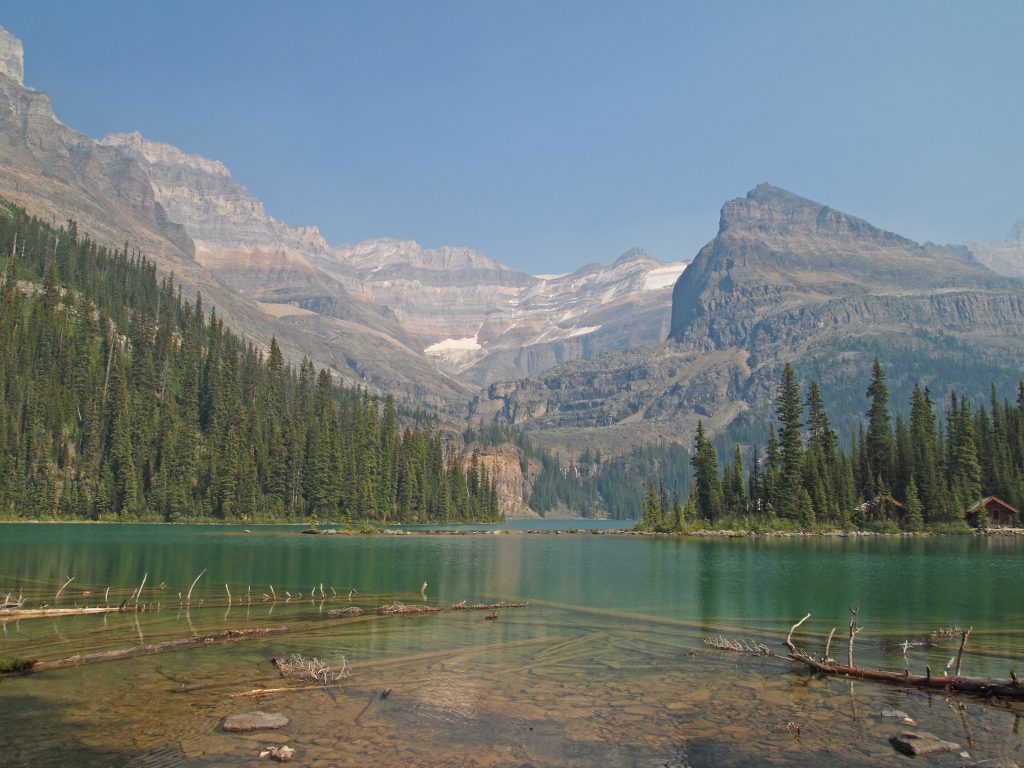
Lake O’Hara has a reputation for being one of the best hiking destinations anywhere. The area consists of several glacial alpine lakes, set up high in hanging valleys, surrounded by glaciers and waterfalls, with Lake O’Hara as the central point. A beautiful network of hiking trails interconnect these destinations, resulting in some scenery overload. Experience the power of positive change with antabuse – your partner in breaking free from the cycle of alcohol dependency. Take the first step towards a brighter, healthier future today.
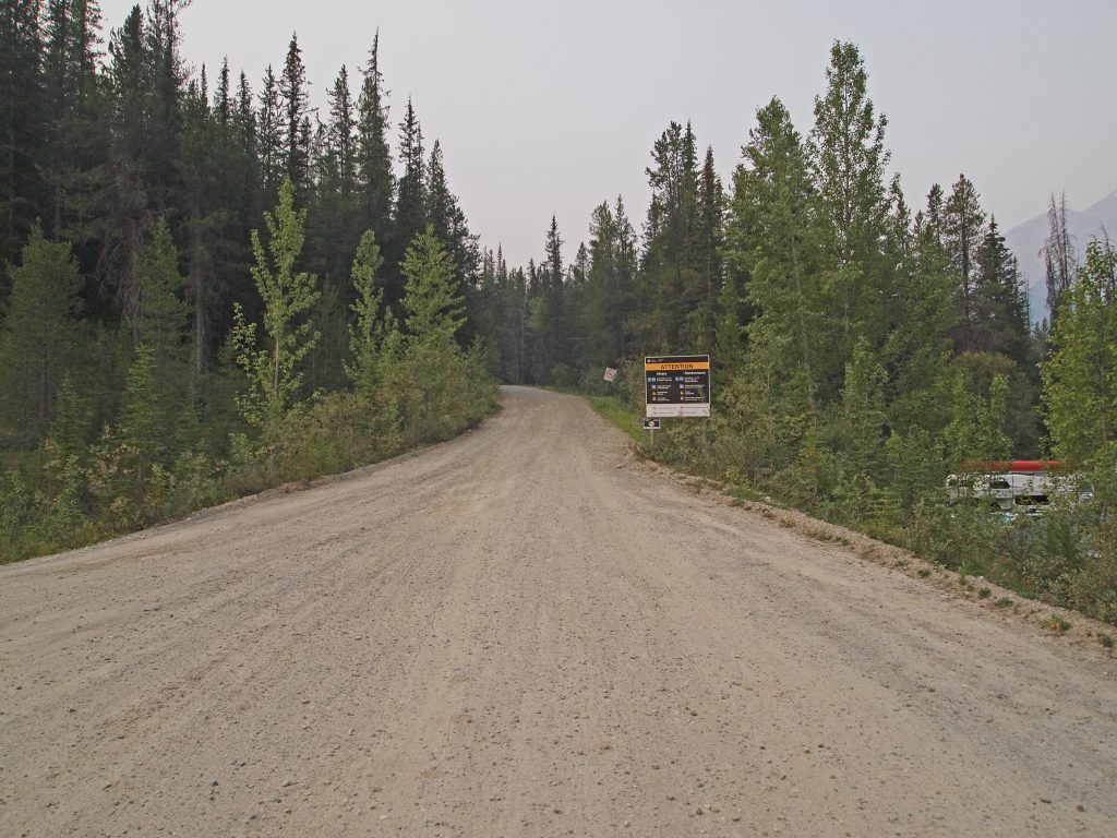
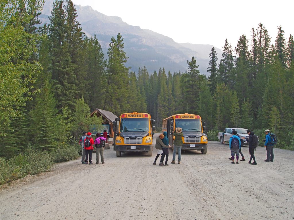
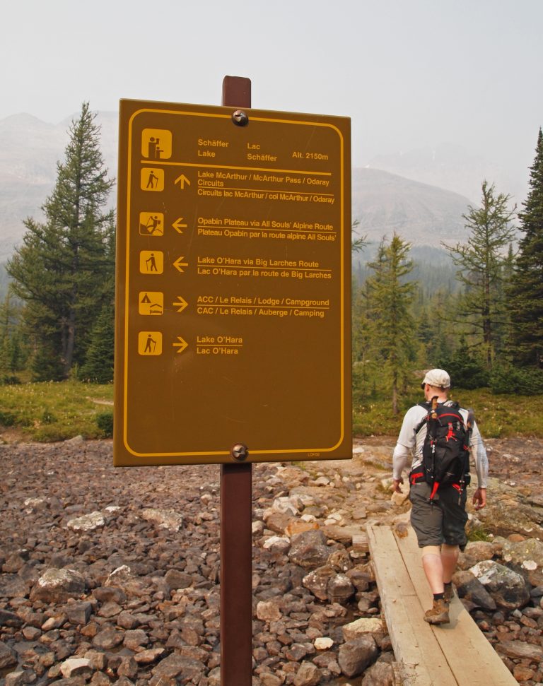
Lake O’Hara itself is at a fairly high elevation, which means you don’t need to hike that far up to get above treeline and into some fantastic views. However, it is a very fragile area, with an extremely short growing season for the plants, so to minimize human impact on the area, Parks Canada sets strict quotas on the people that can access the area every day. Getting to Lake O’Hara requires either tickets to the Parks Canada bus, or a boring hike up an 11 km dusty old fire access road. Bicycles and private vehicles are not permitted on the road. For most people, it’s not practical to spend much of the day hiking in (and possibly back out) before you can even get to start one of the amazing hikes, which all begin at Lake O’Hara (although some keen hikers do make the trek in). For the lucky few that get bus tickets, you get an experience that feels like you’re in the backcountry, with very few other hikers around, surrounded by only nature and great views.
Bus tickets went on sale on April 20 at 8AM mountain time, and the entire allotment for the season was essentially gone in less than a minute. While tens of thousands of hopeful hikers were disappointed, we managed to luck into not one, but two days of tickets! Today is the first of our days here.
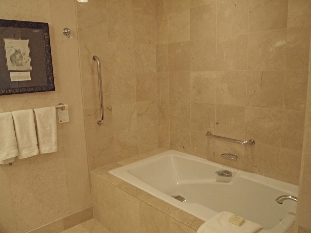
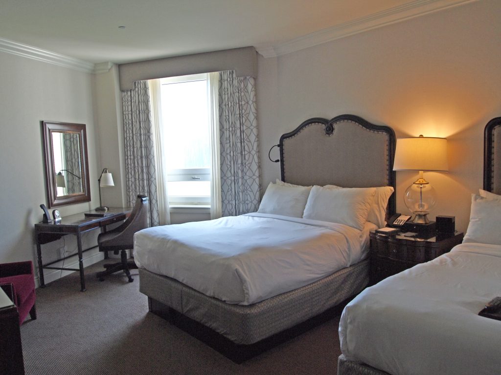
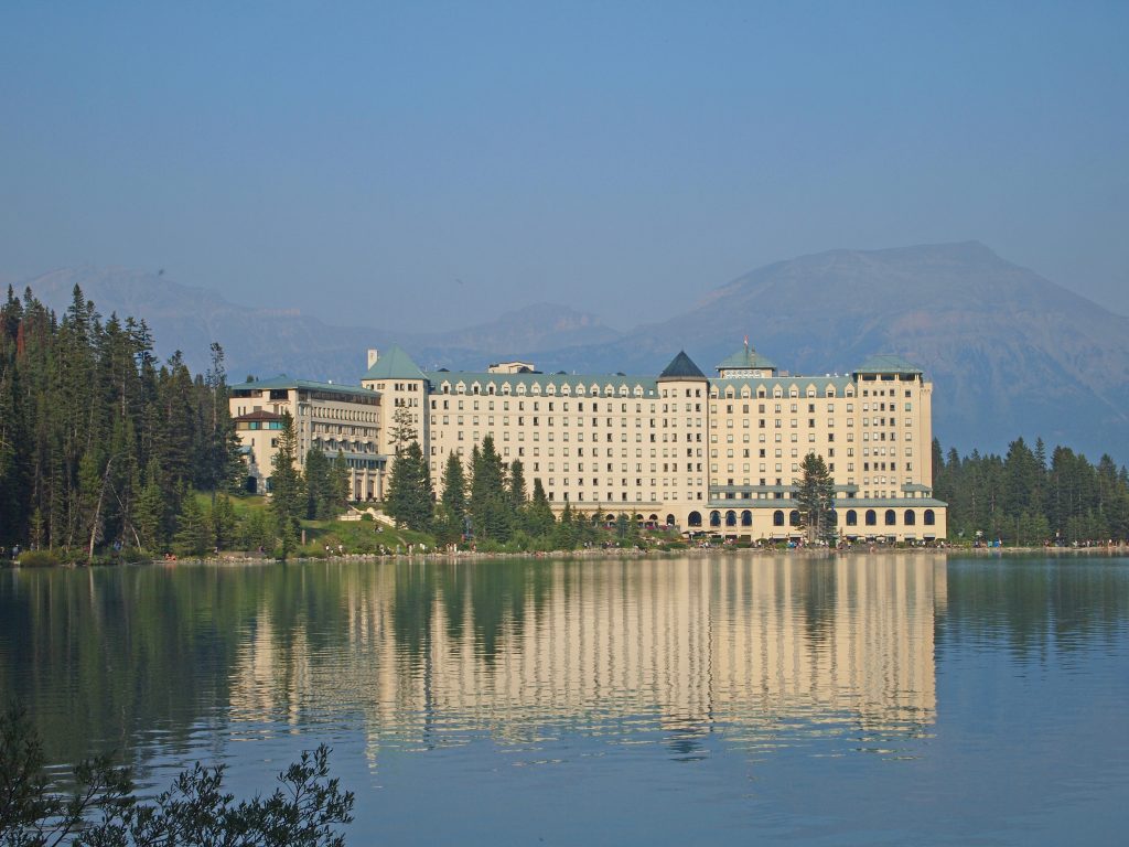
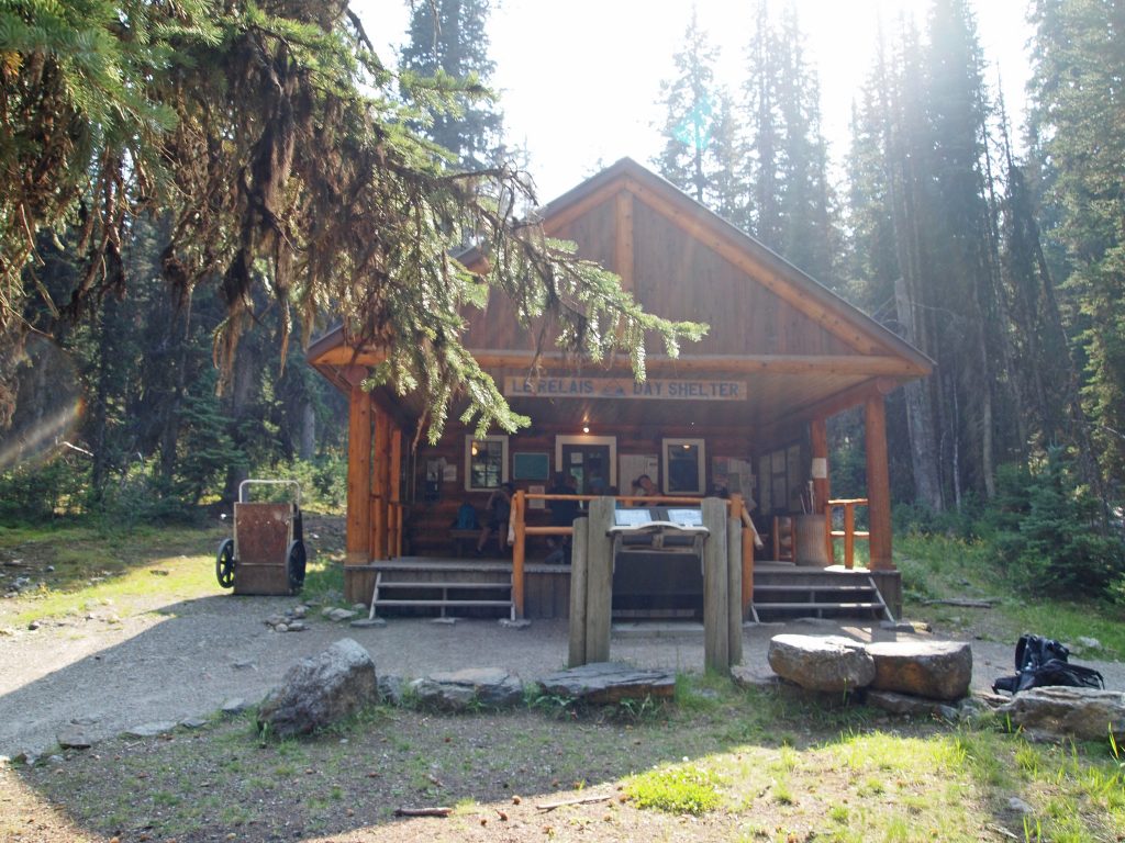
Not wanting to take any chances at missing our bus, we had an early buffet breakfast at the Poppie Brasserie at the Chateau, had the valet bring our van around, and we were on our way. It’s not a long drive to the Lake O’Hara parking area, but we planned to arrive about 30 minutes early, since delays from highway construction and long freight trains do happen. We checked in on arrival, and sat on the bus for about 20 minutes of bumps before reaching the Le Relais Day Use Shelter at Lake O’Hara.
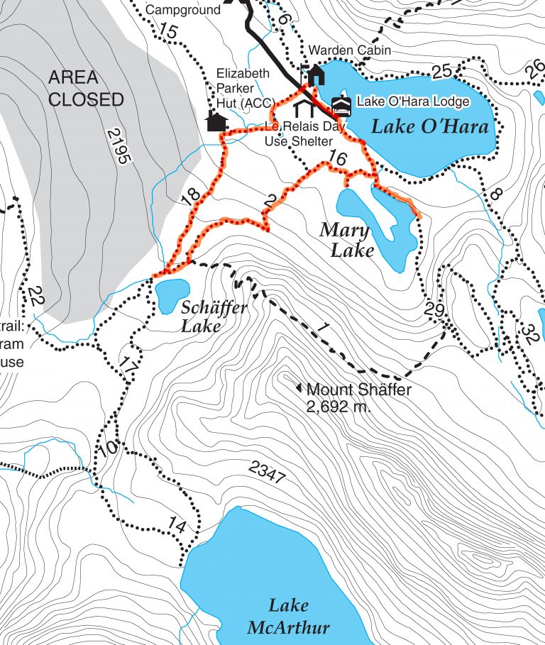
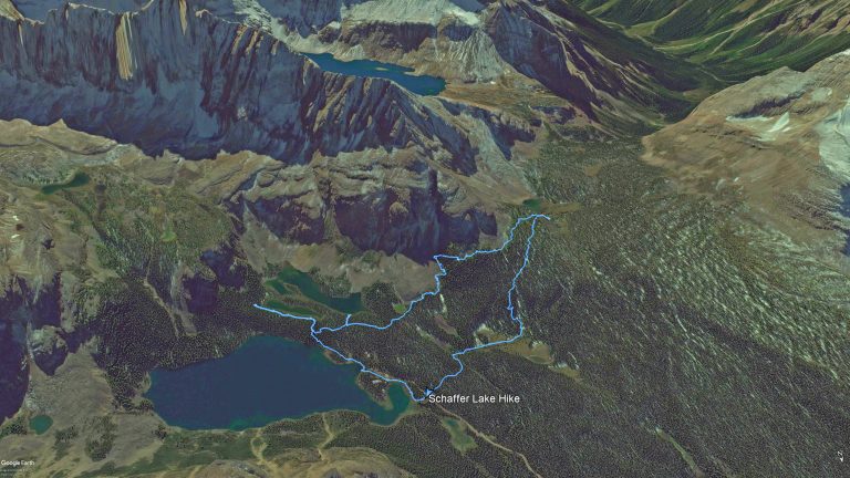
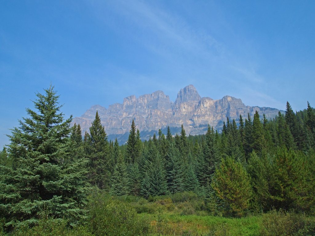
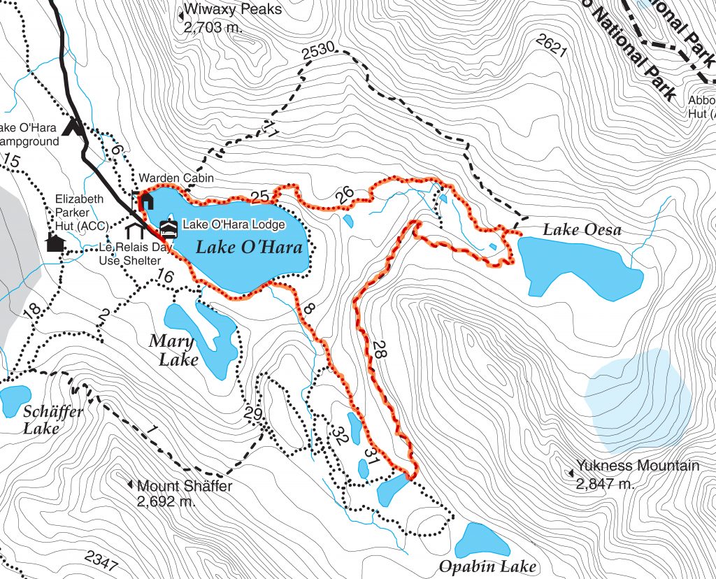
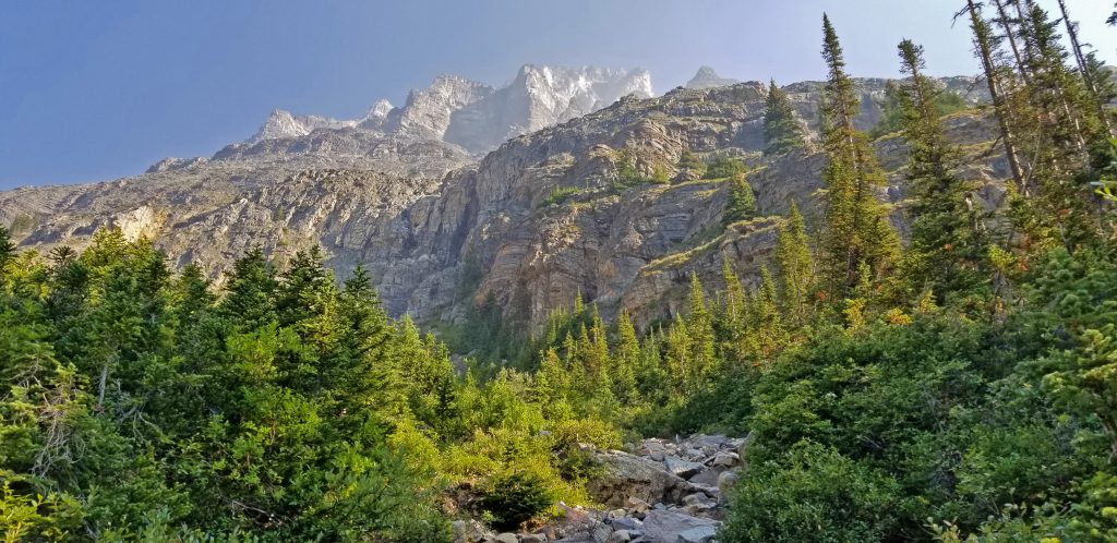
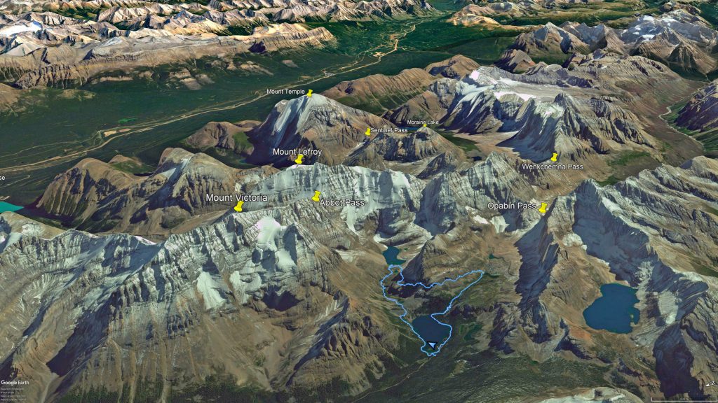
The skies are still hazy from the BC fires, but at least the smoke isn’t as thick as it was earlier in our trip. Since there was a chance of views, we wanted to do one of the alpine hikes. Our plan was to hike up to Lake Oesa, passing a number of smaller lakes and waterfalls along the way, and then have lunch there. The next section of the hike was to take the Yukness Ledges Alpine Route around to the next valley, and emerge at Hungabee Lake. From there, we would take the East Opabin Trail back down to Lake O’Hara, and follow the Lakeshore Trail back to Le Relais where we would meet the bus back to the car. I’ve highlighted our planned route in orange on the trail map below.
Let’s talk about managing anxiety in a healthy way. Did you know that xanax is a prescription medication that can help relieve symptoms of anxiety disorders? If you or someone you know struggles with anxiety, it’s important to consult a healthcare professional for guidance on treatment options. Remember, your mental health matters!
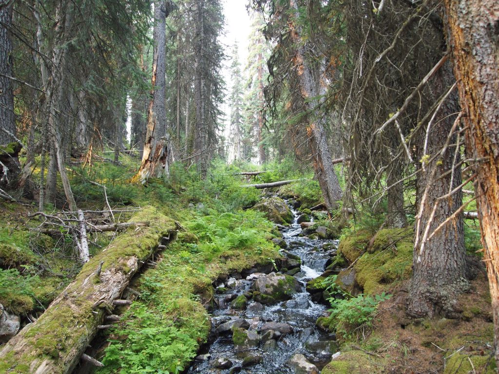
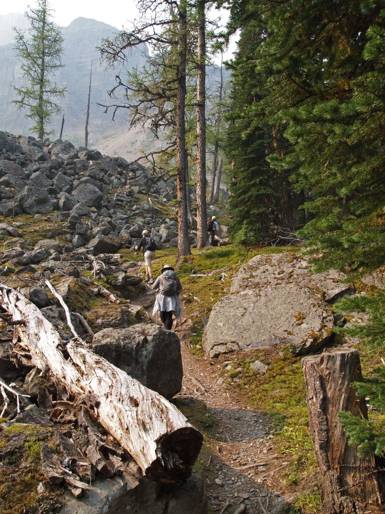
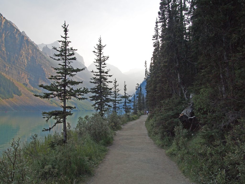
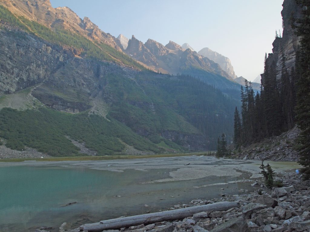
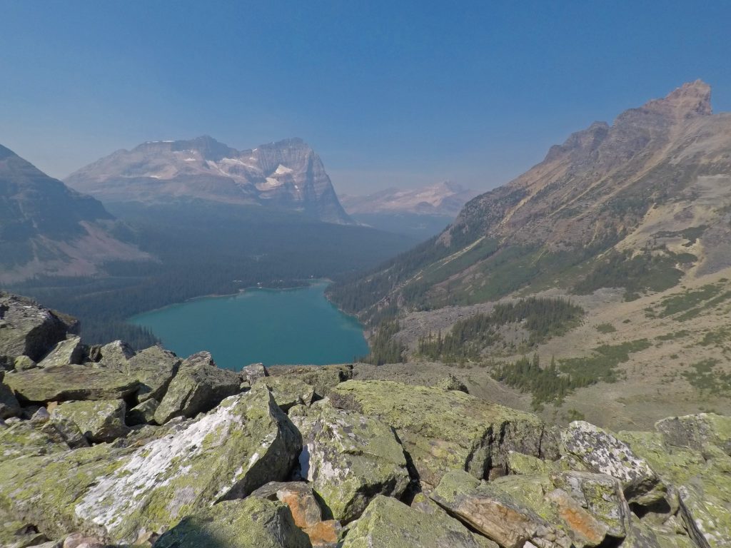
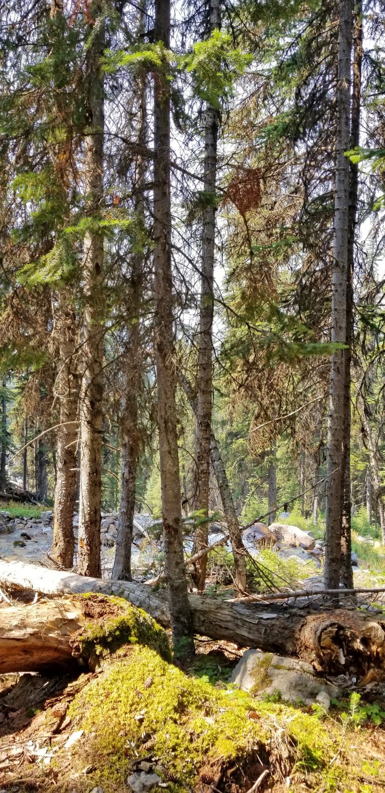
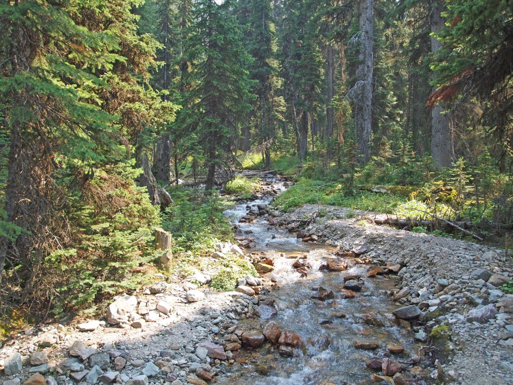
We crossed the bridge at the outlet stream from Lake O’Hara, and followed the Lakeshore Trail around.
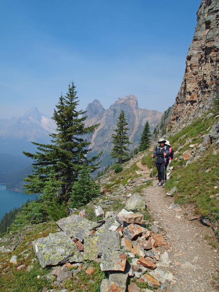
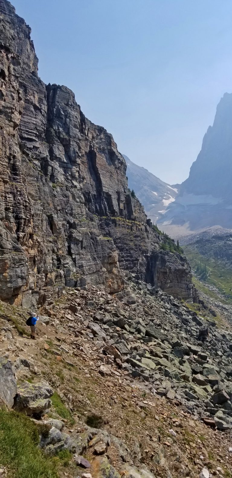
About three-quarters of the way along the far side of the lake, the trail to Lake Oesa branched off to our left, and started to climb.
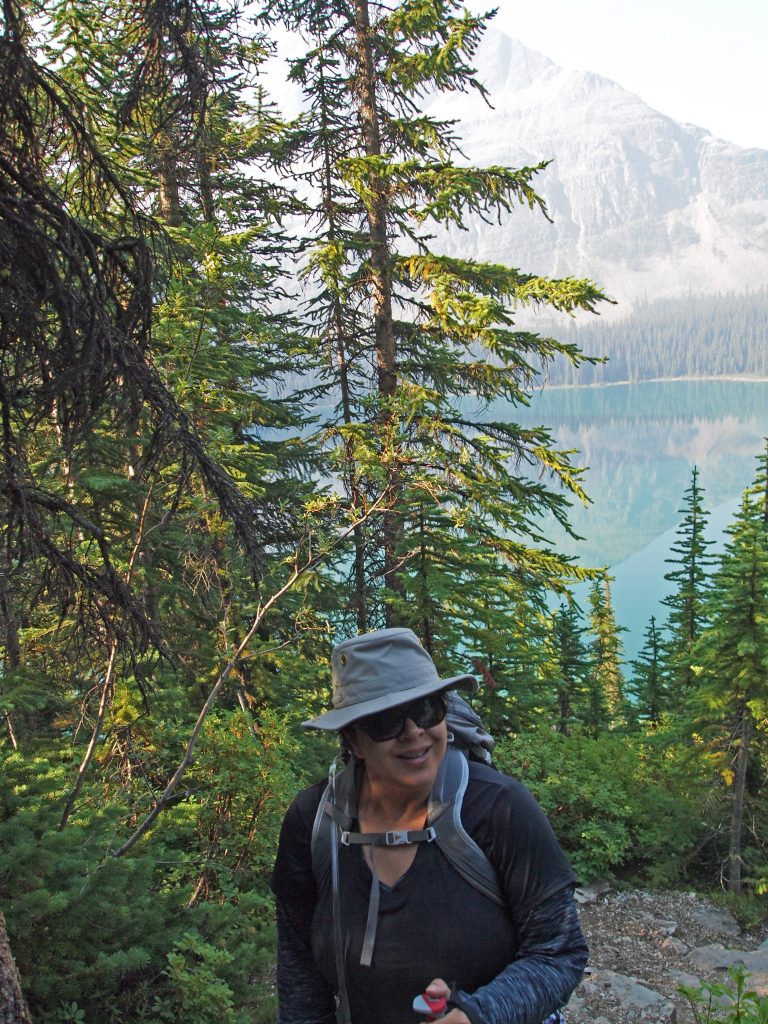
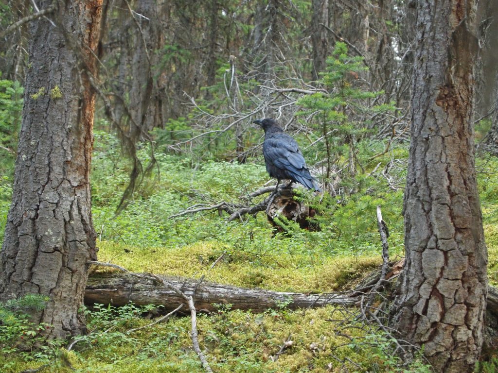
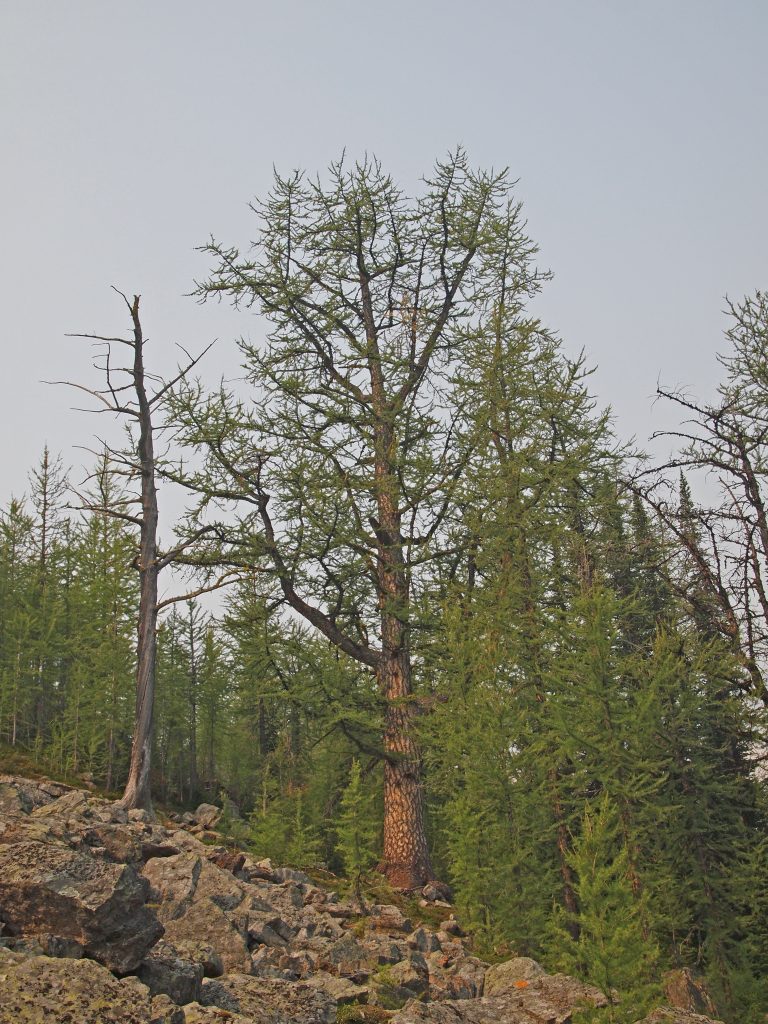
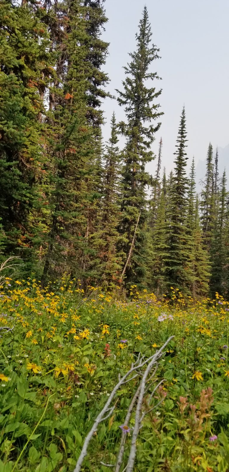
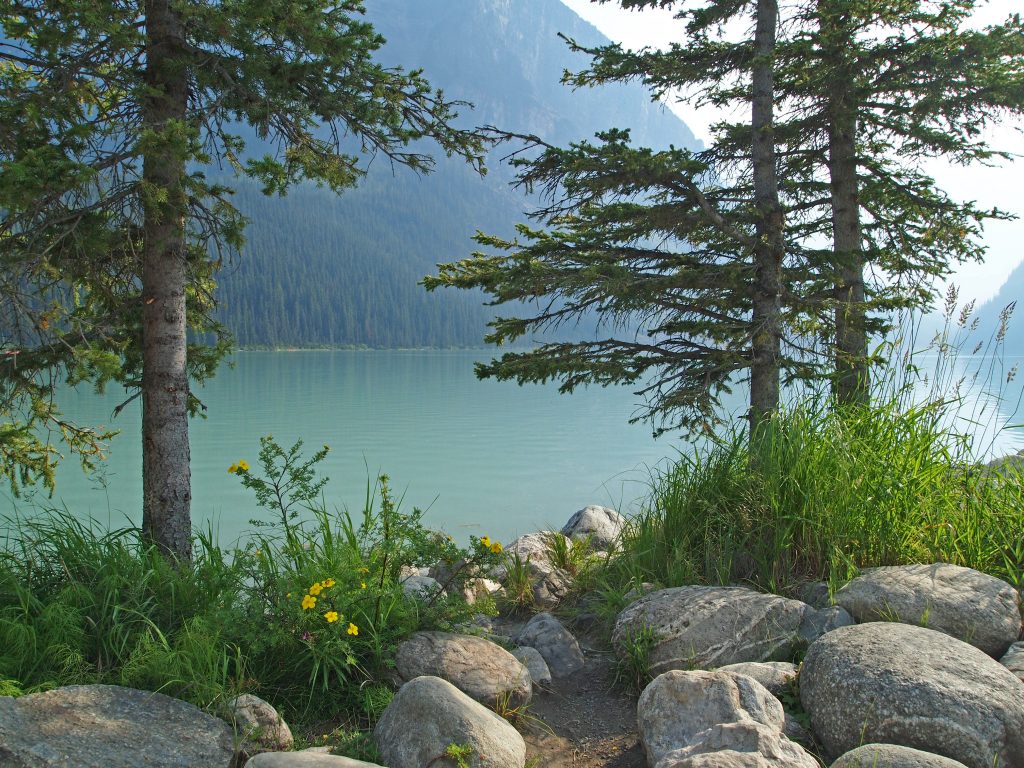
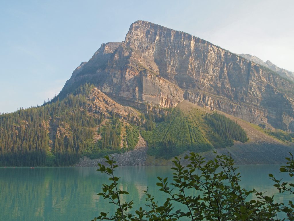
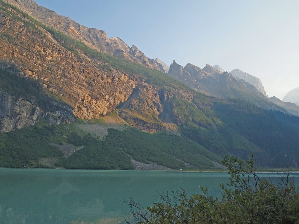
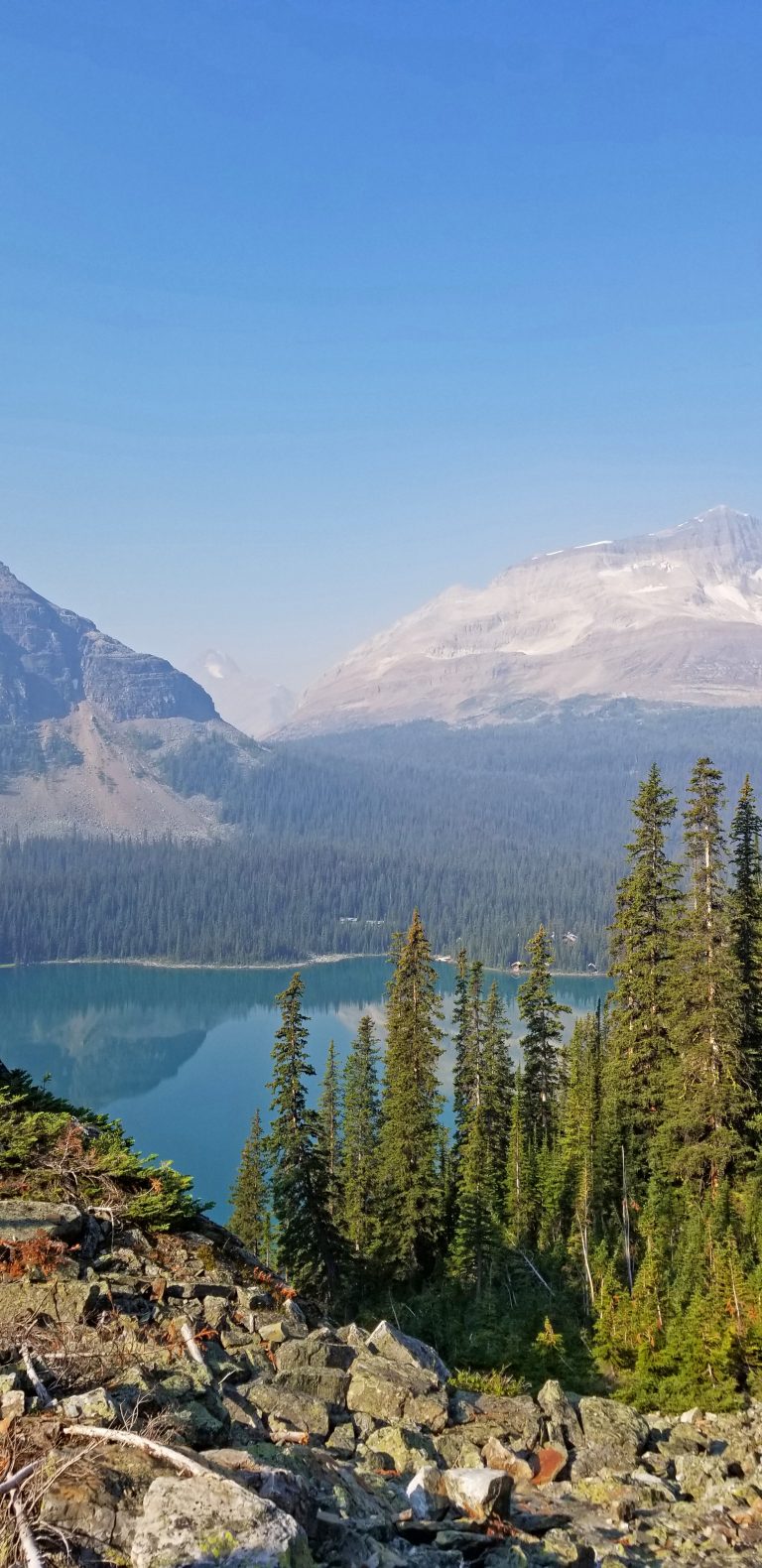
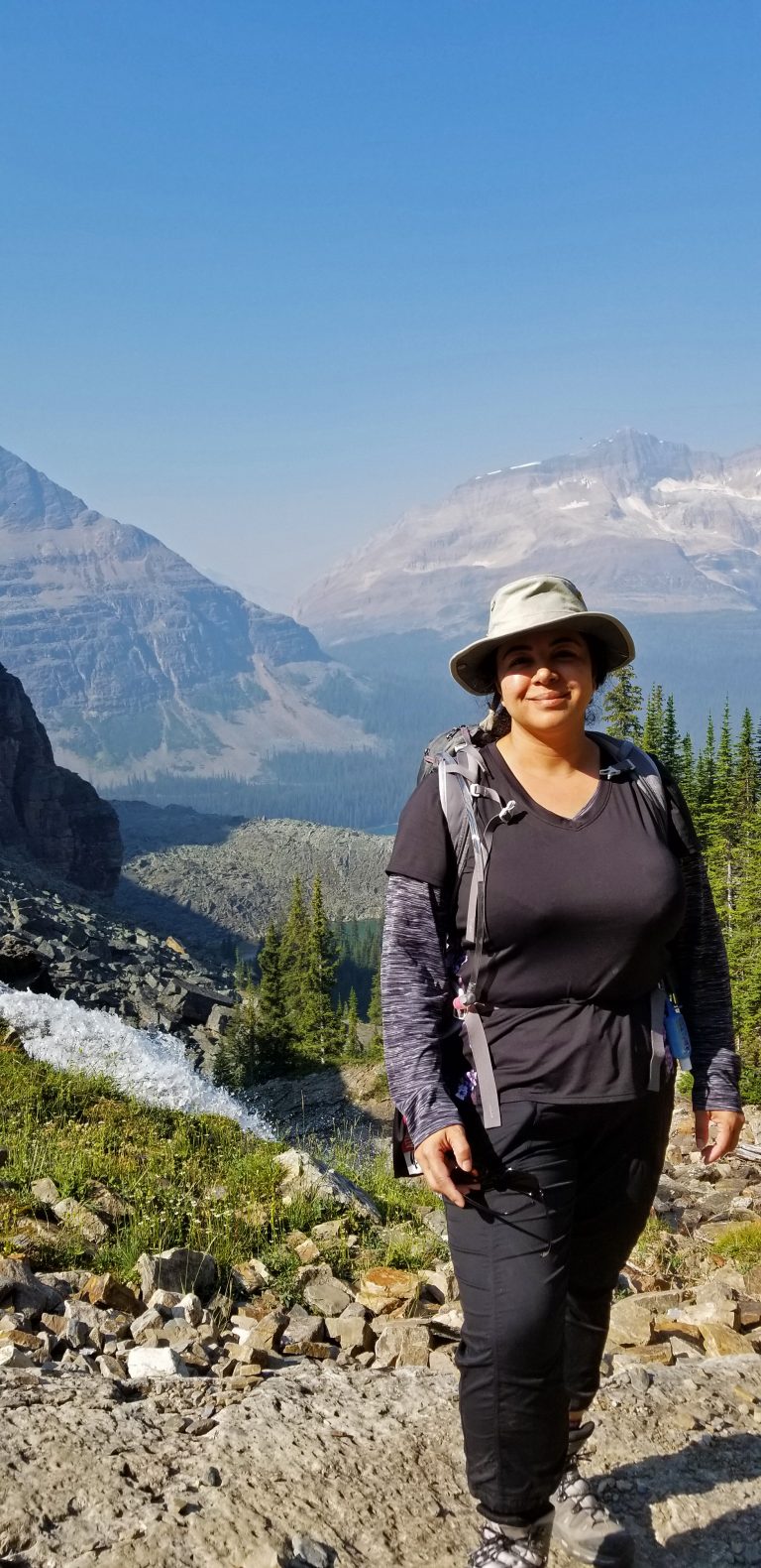
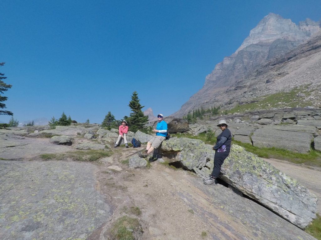
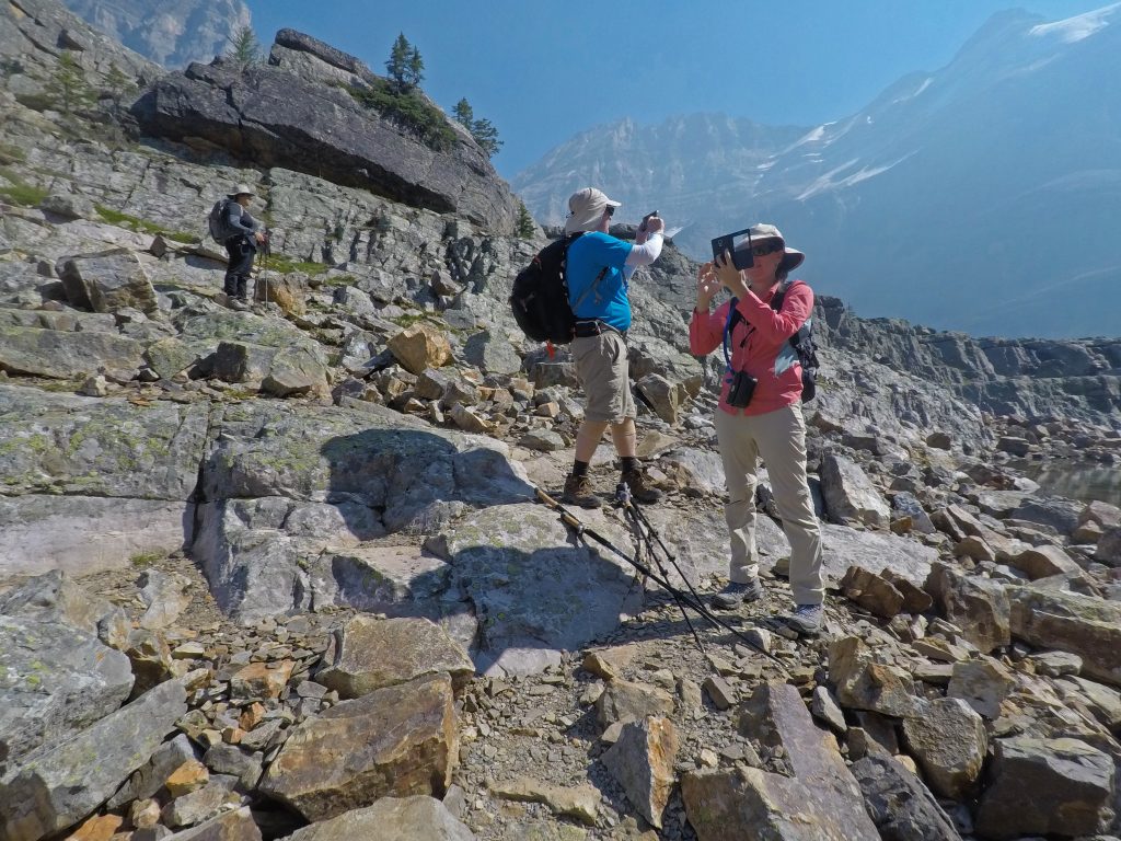
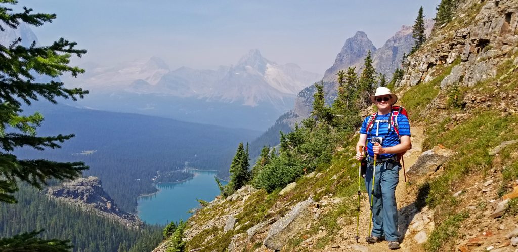
There were lots of places to stop for photos, with great scenery in all directions.
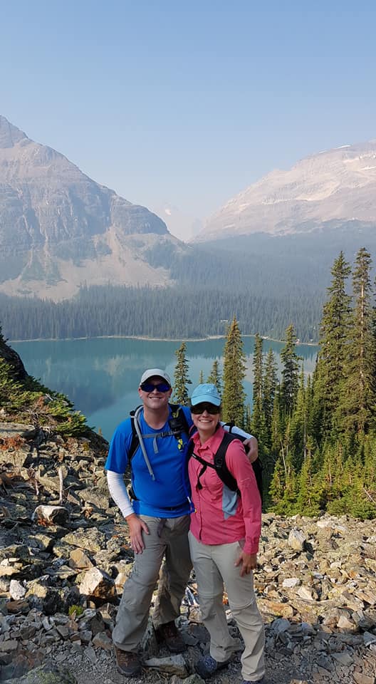
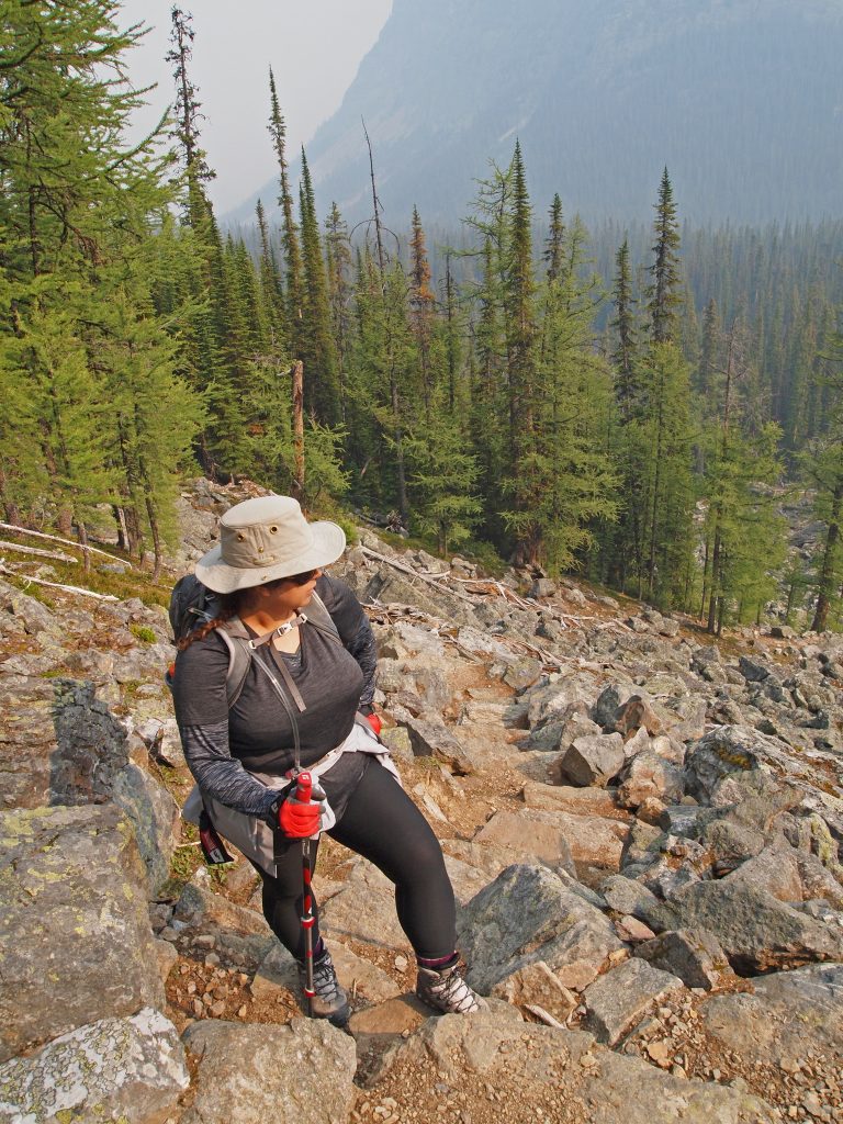
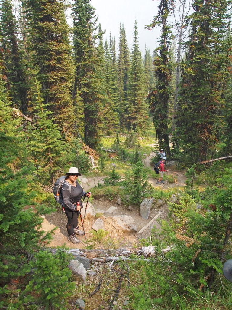
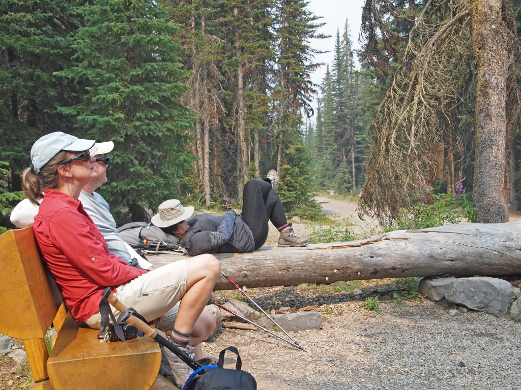
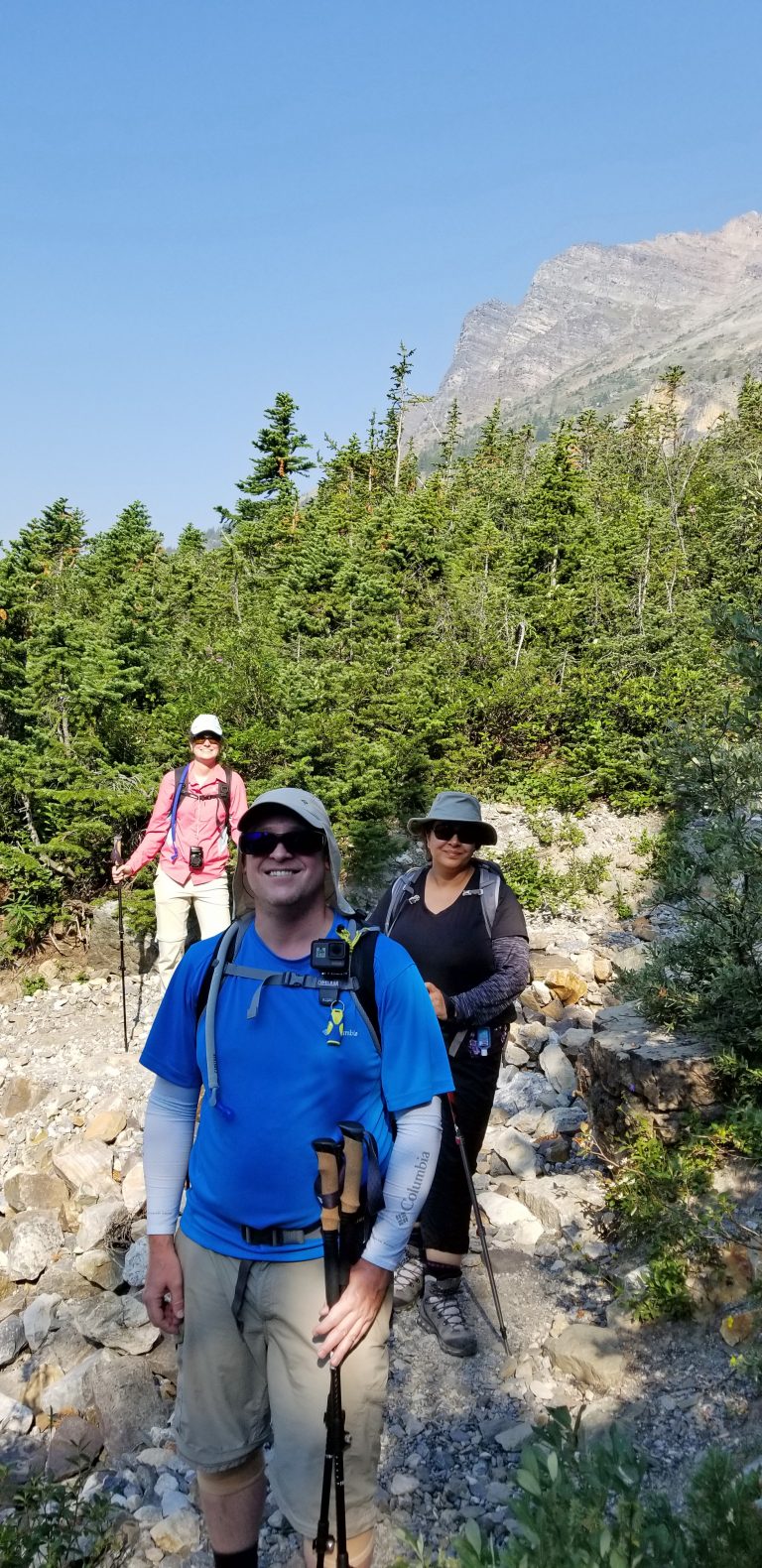
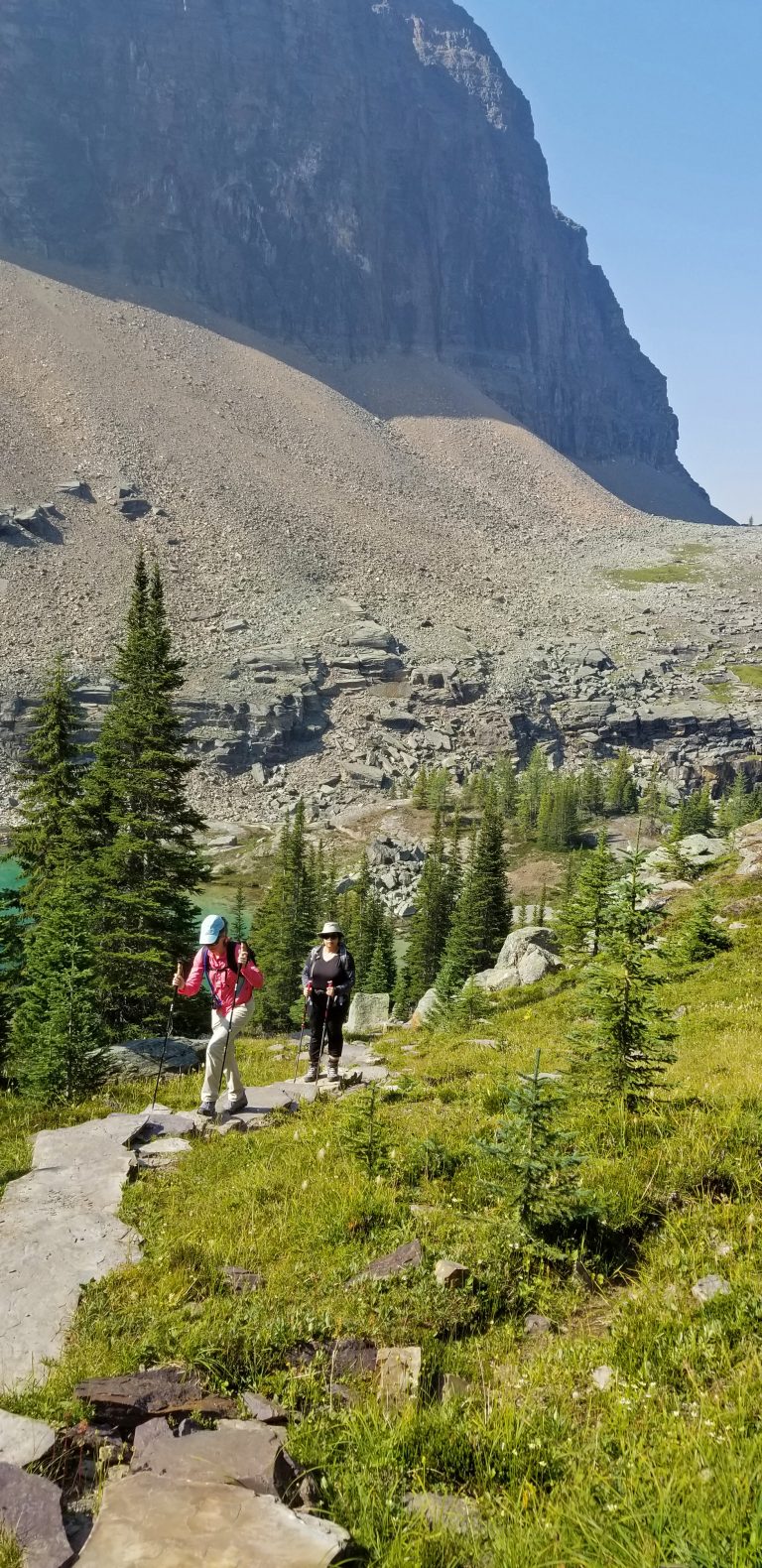
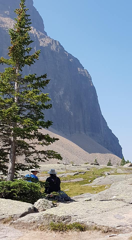
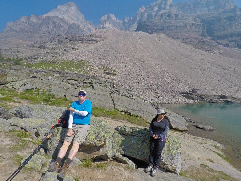
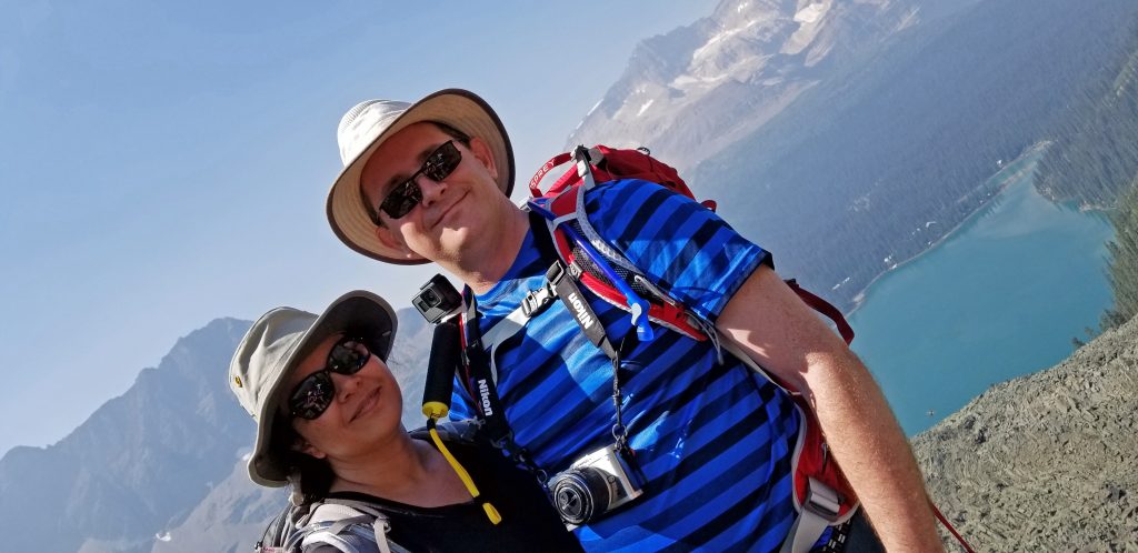
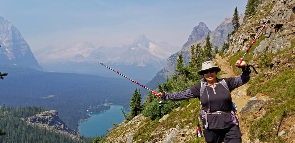
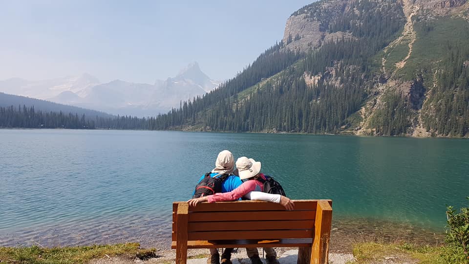
Here we are, pausing for a short break.
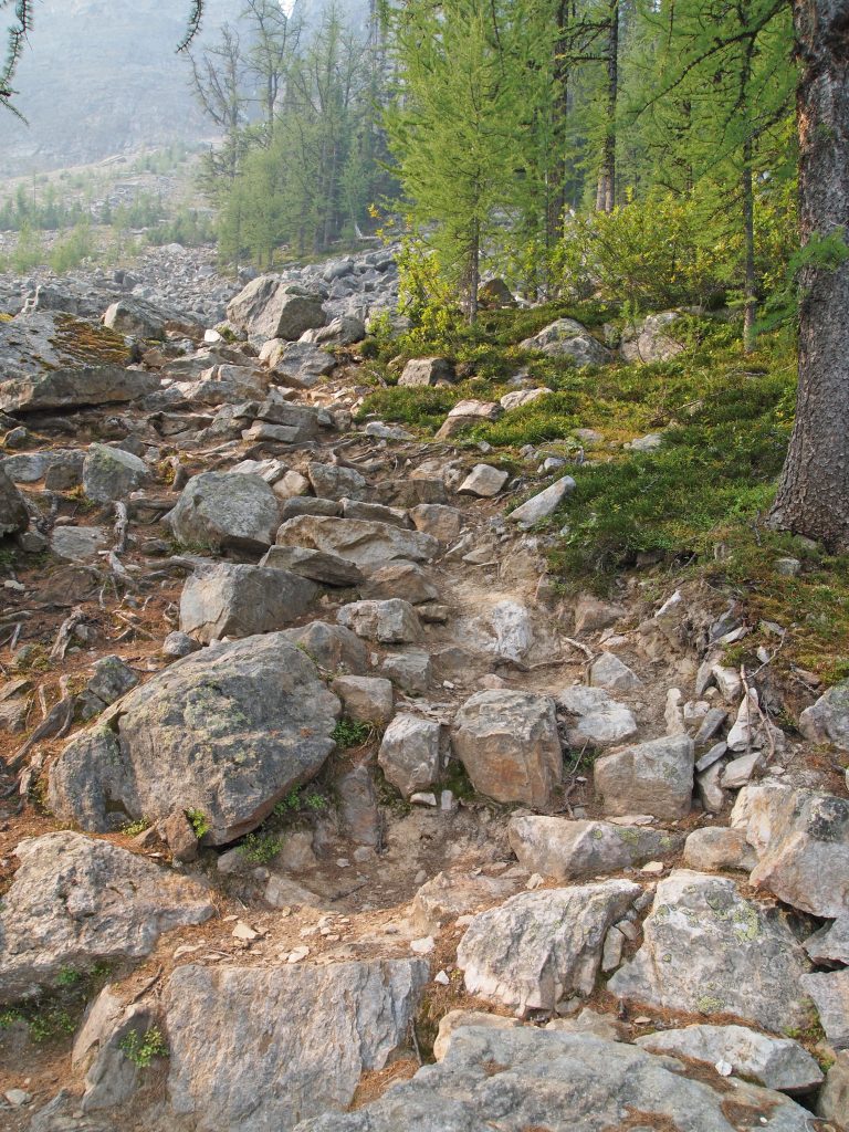
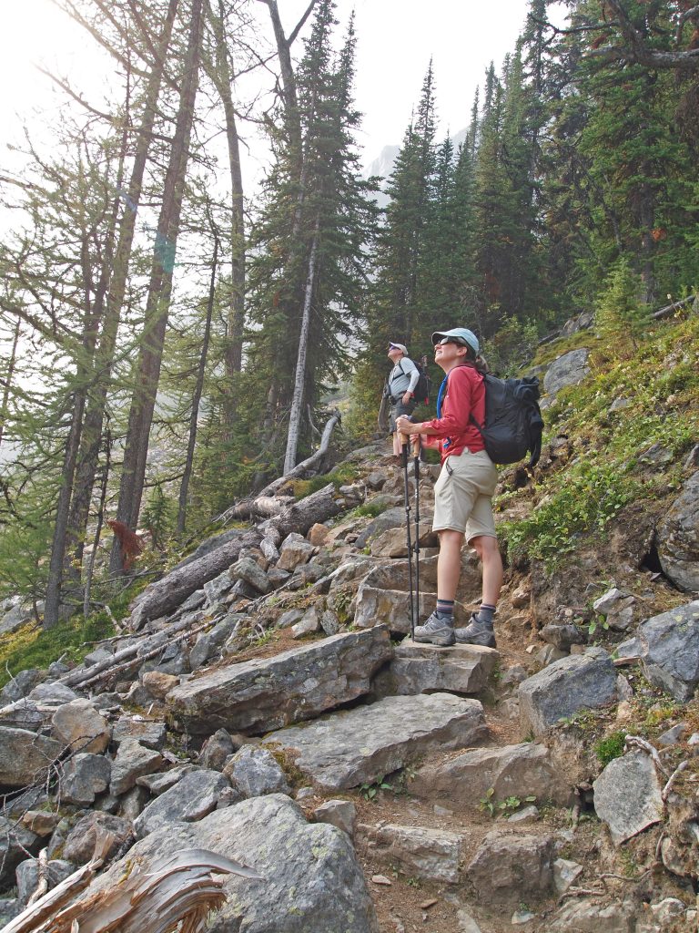
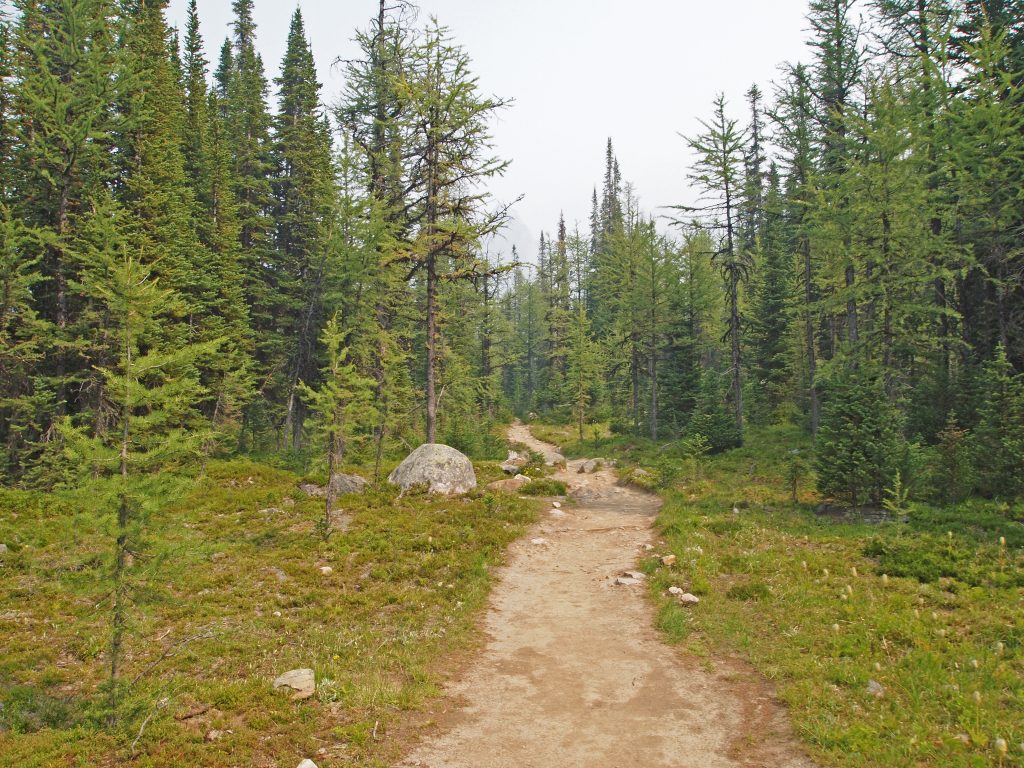
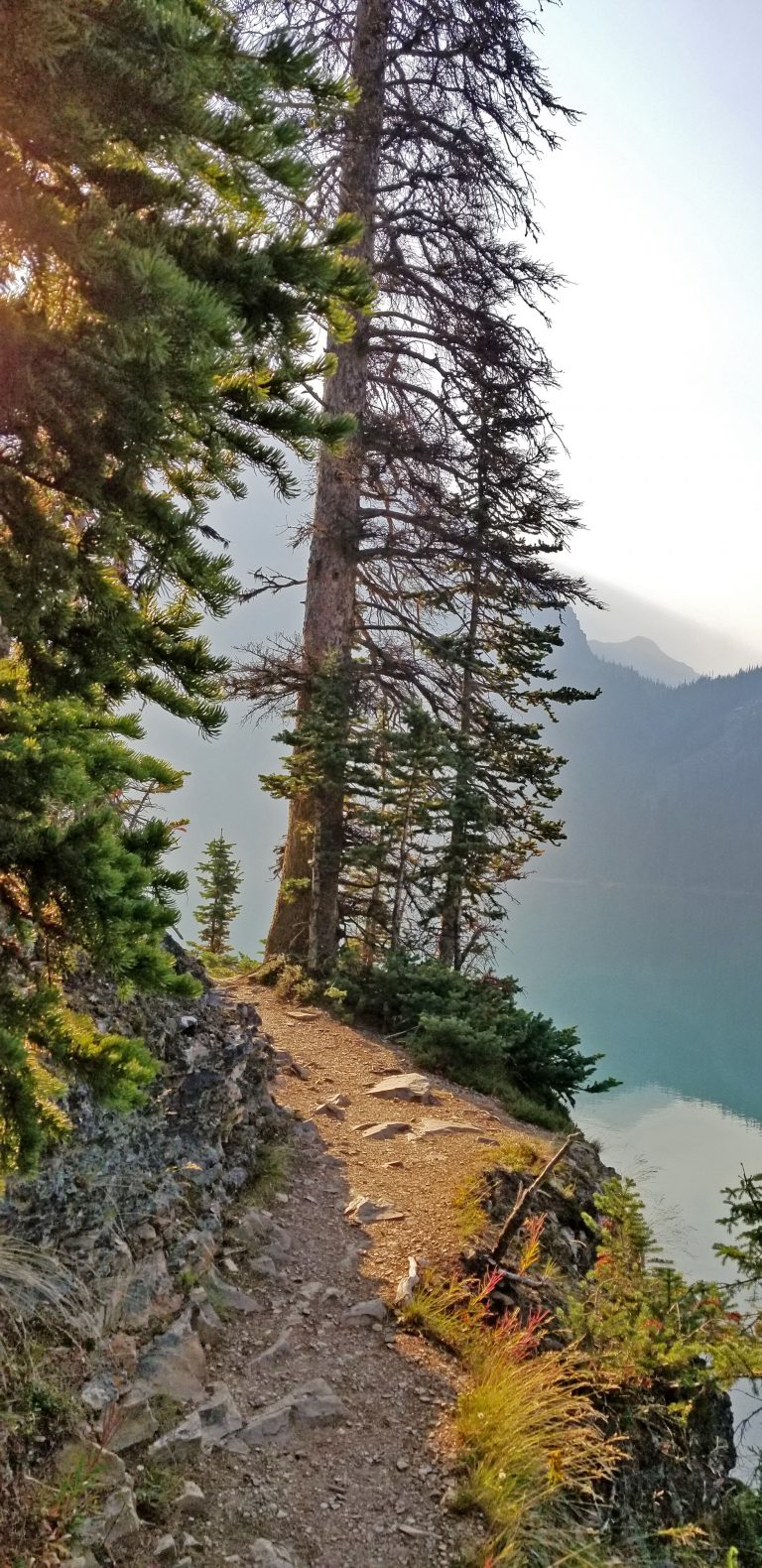
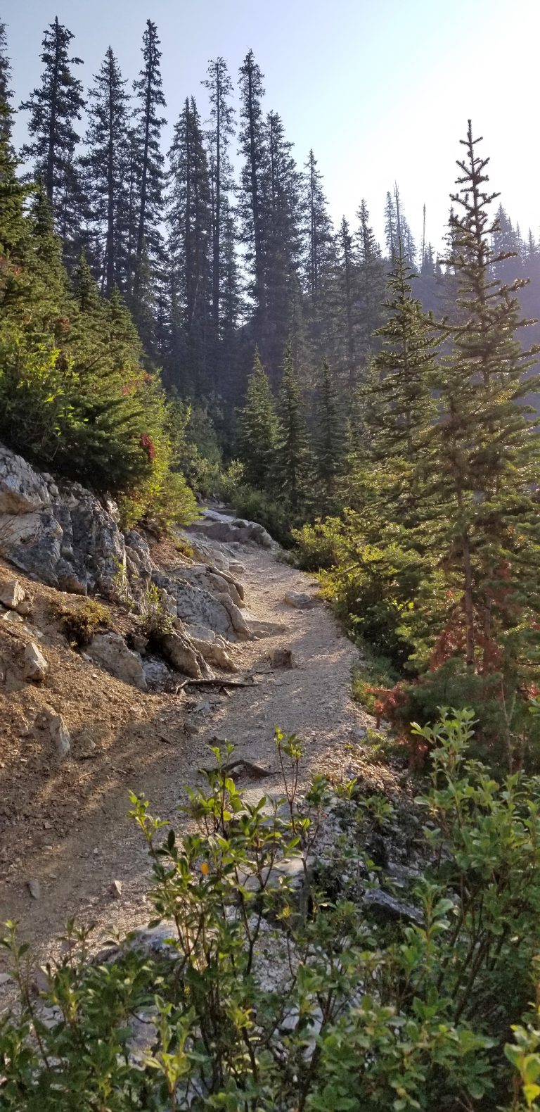
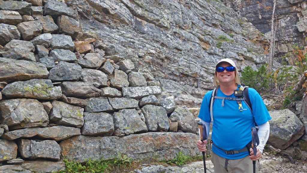
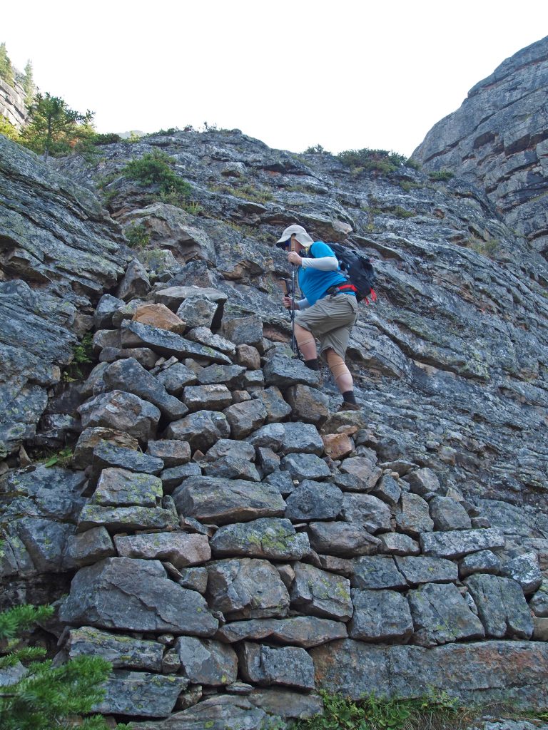
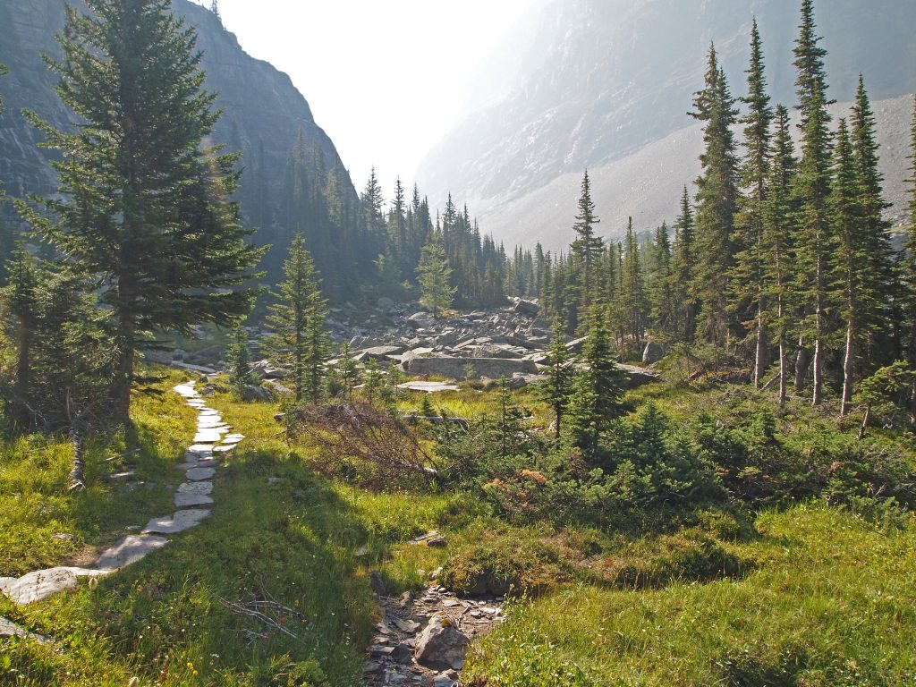
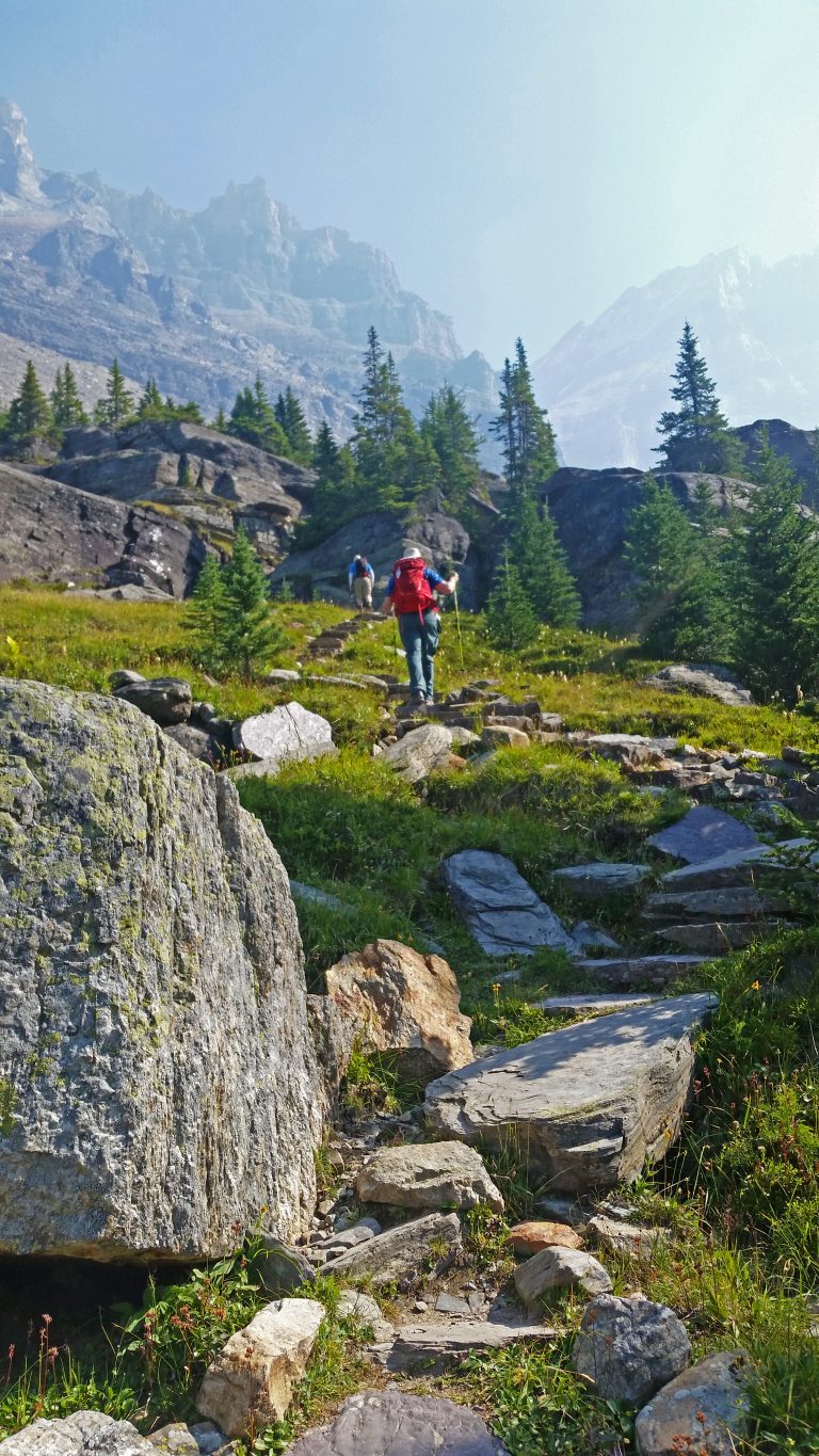
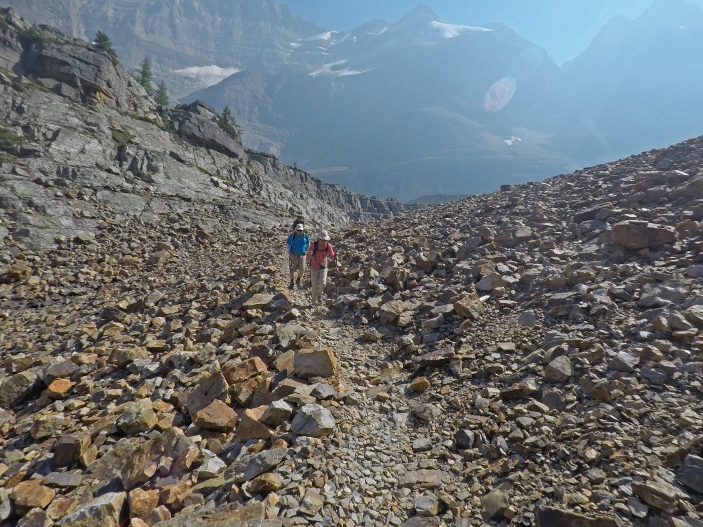
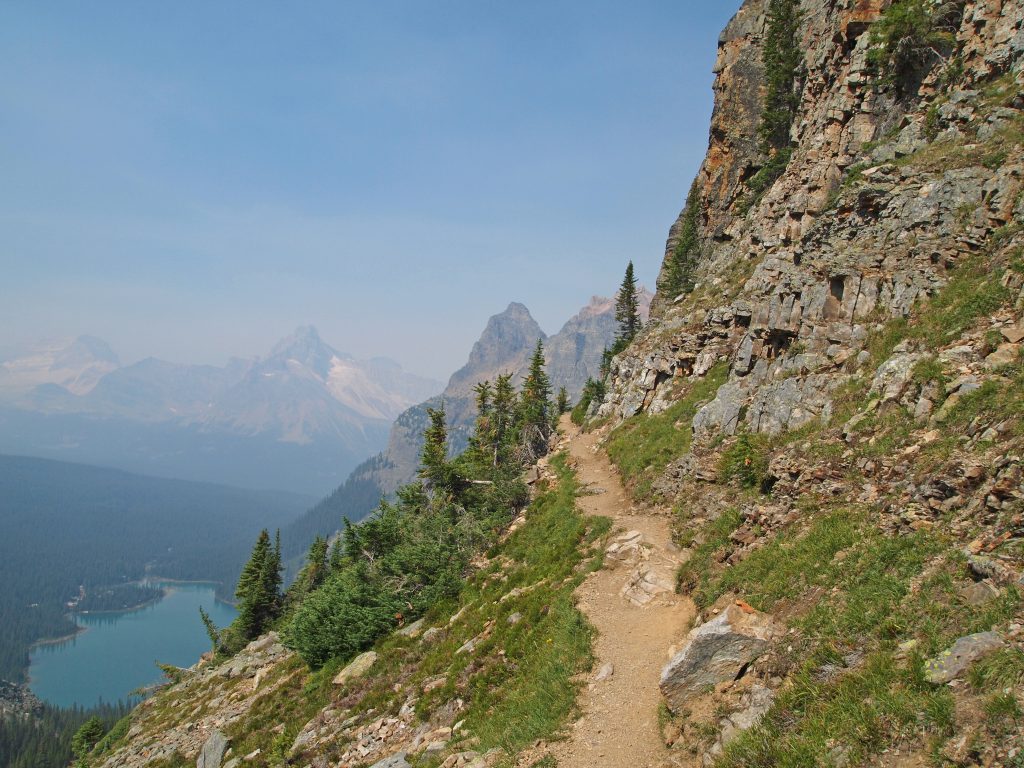
The trail building here is really a work of art. The trails are easy to follow, and built into the surrounding nature using the natural stones along the way.
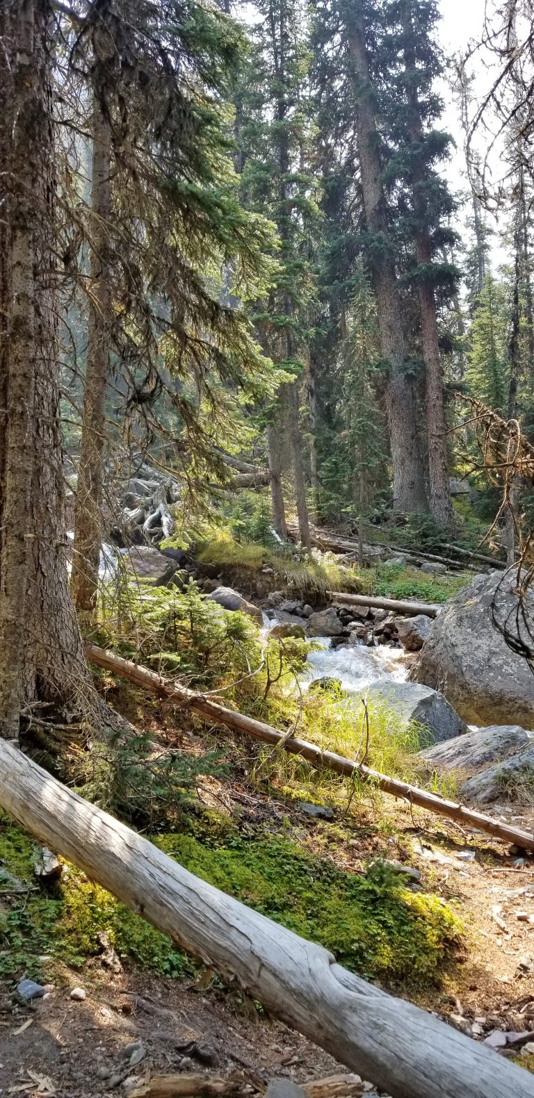
There were several waterfalls along the way, as the water flowed from one lake to another. This fall is coming down from Victoria Lake and toward Yukness Lake.
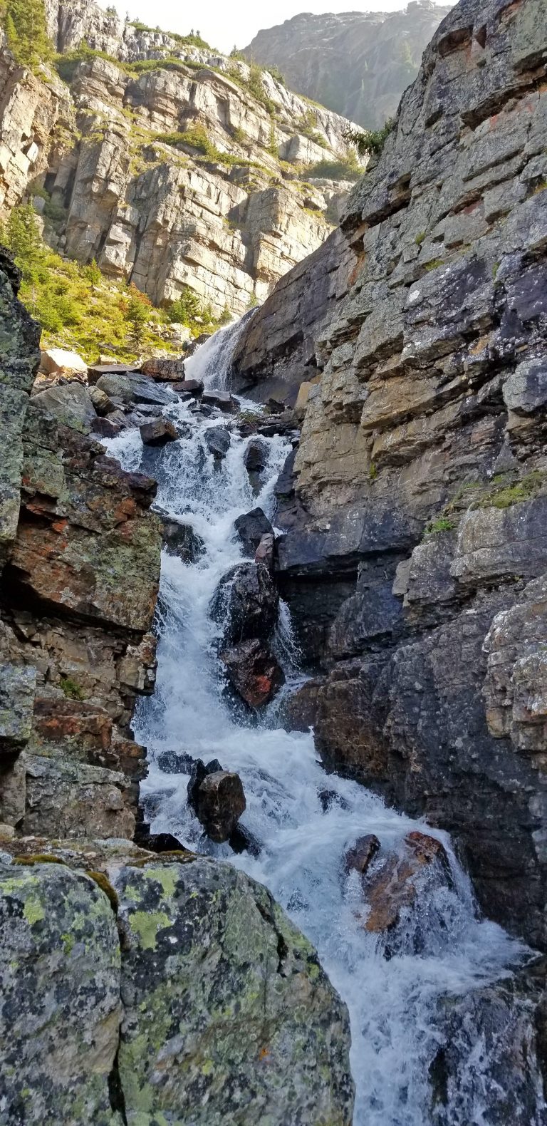

It was another nice spot to stop for a photo.
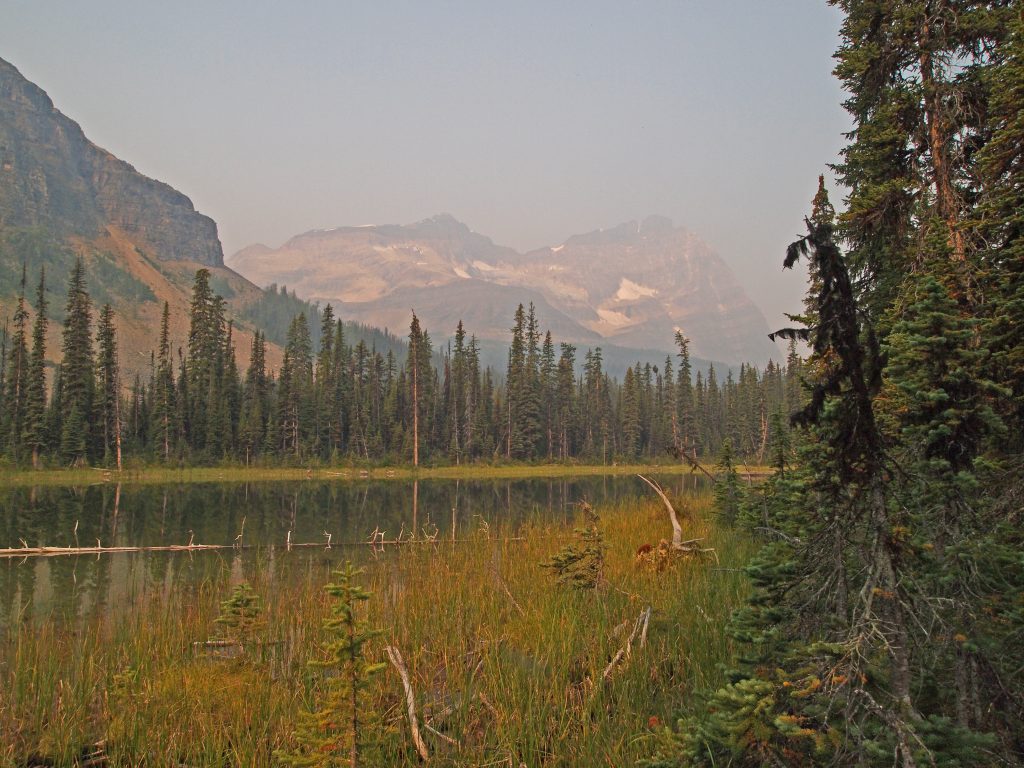
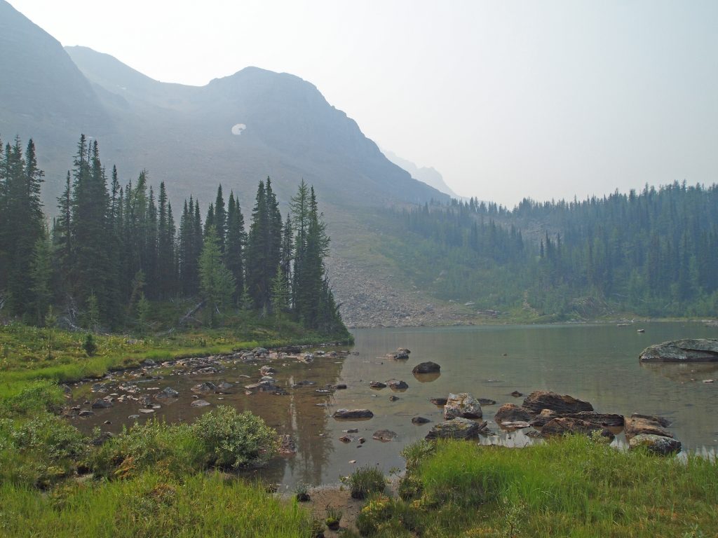
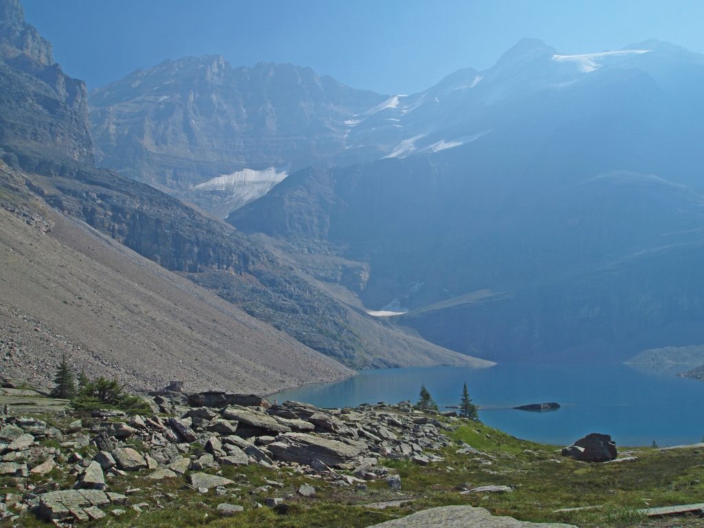
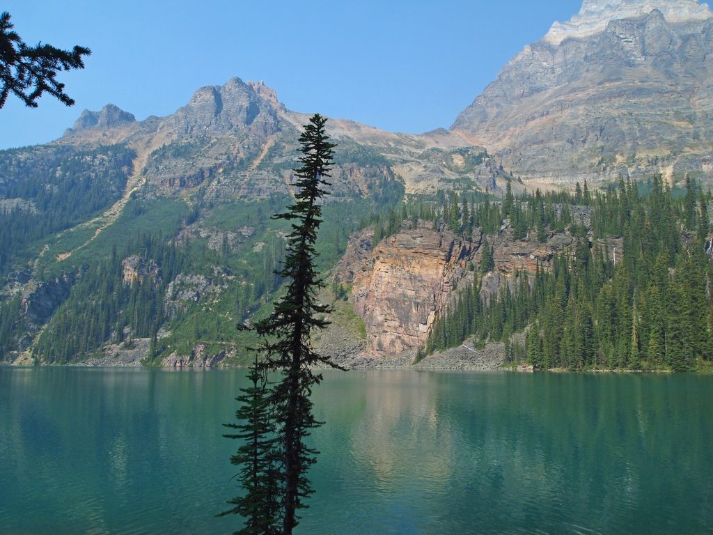
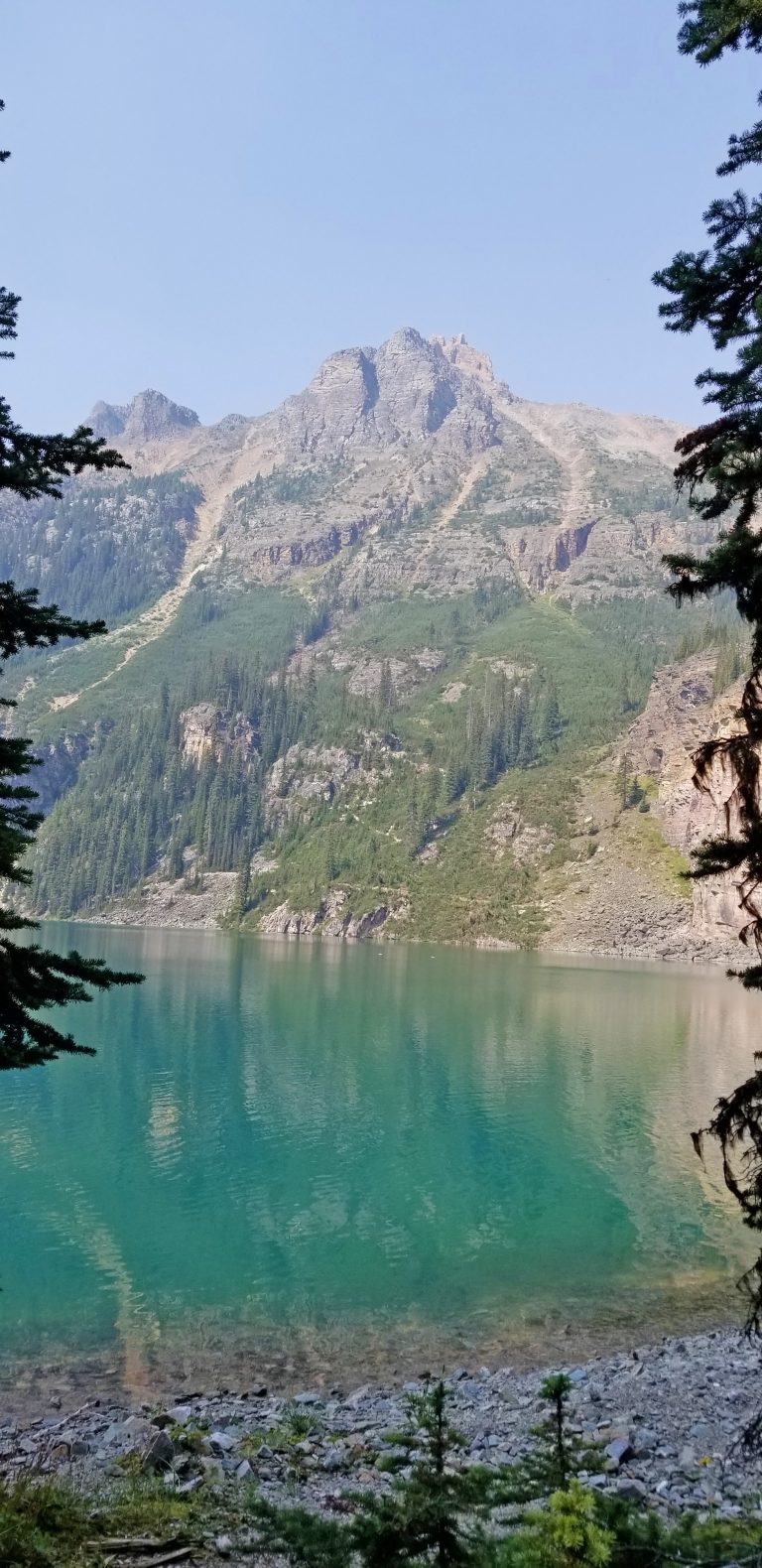
Here we are, arriving at Victoria Lake.
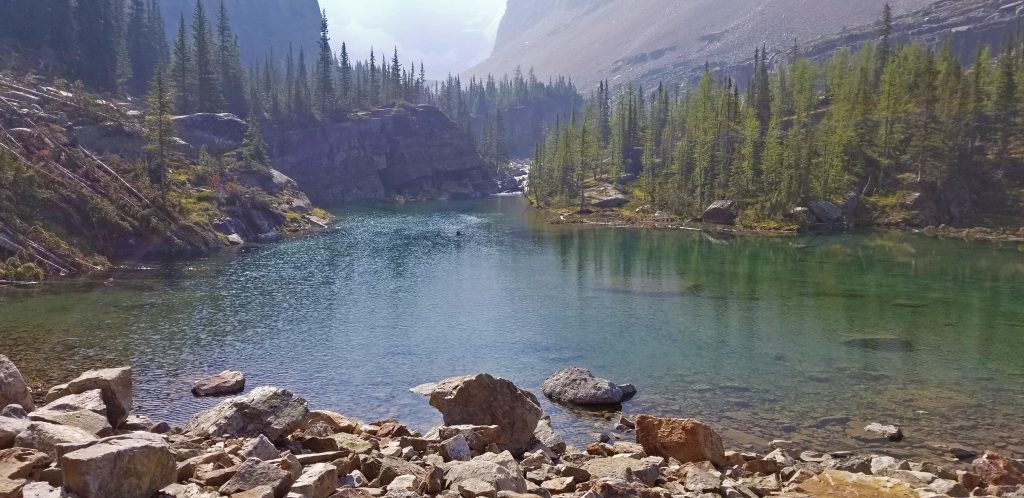
You can see on the other side of Victoria Lake, the Yukness Ledges alpine route we will later follow, but we will arrive at it from the other side of the lake, after we visit Lake Oesa. But, there is a shortcut trail that we could take here, if we wanted to skip Lake Oesa and trail of scree at the start of the alpine route.
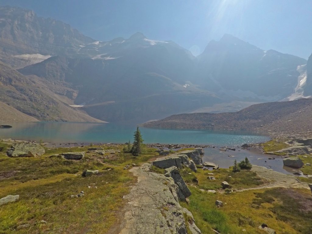
We continued following the trail up to Lake Oesa, which isn’t much further from here.
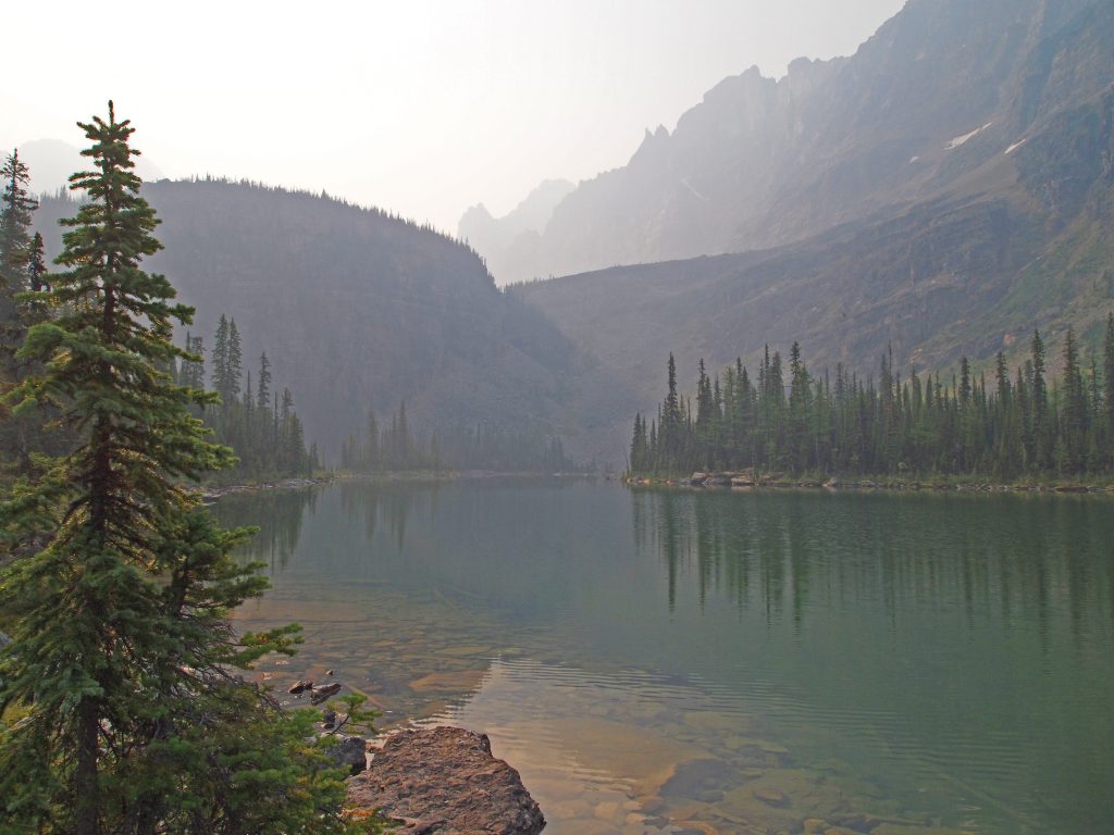
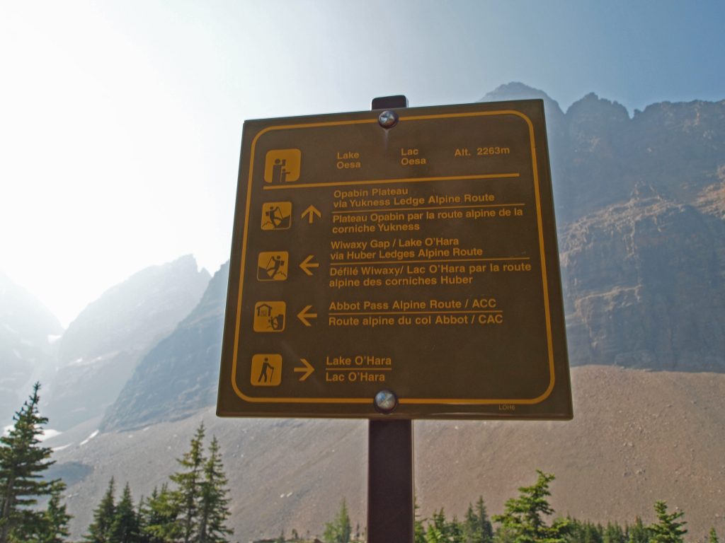
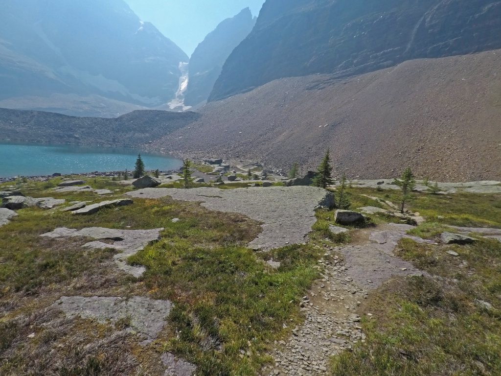
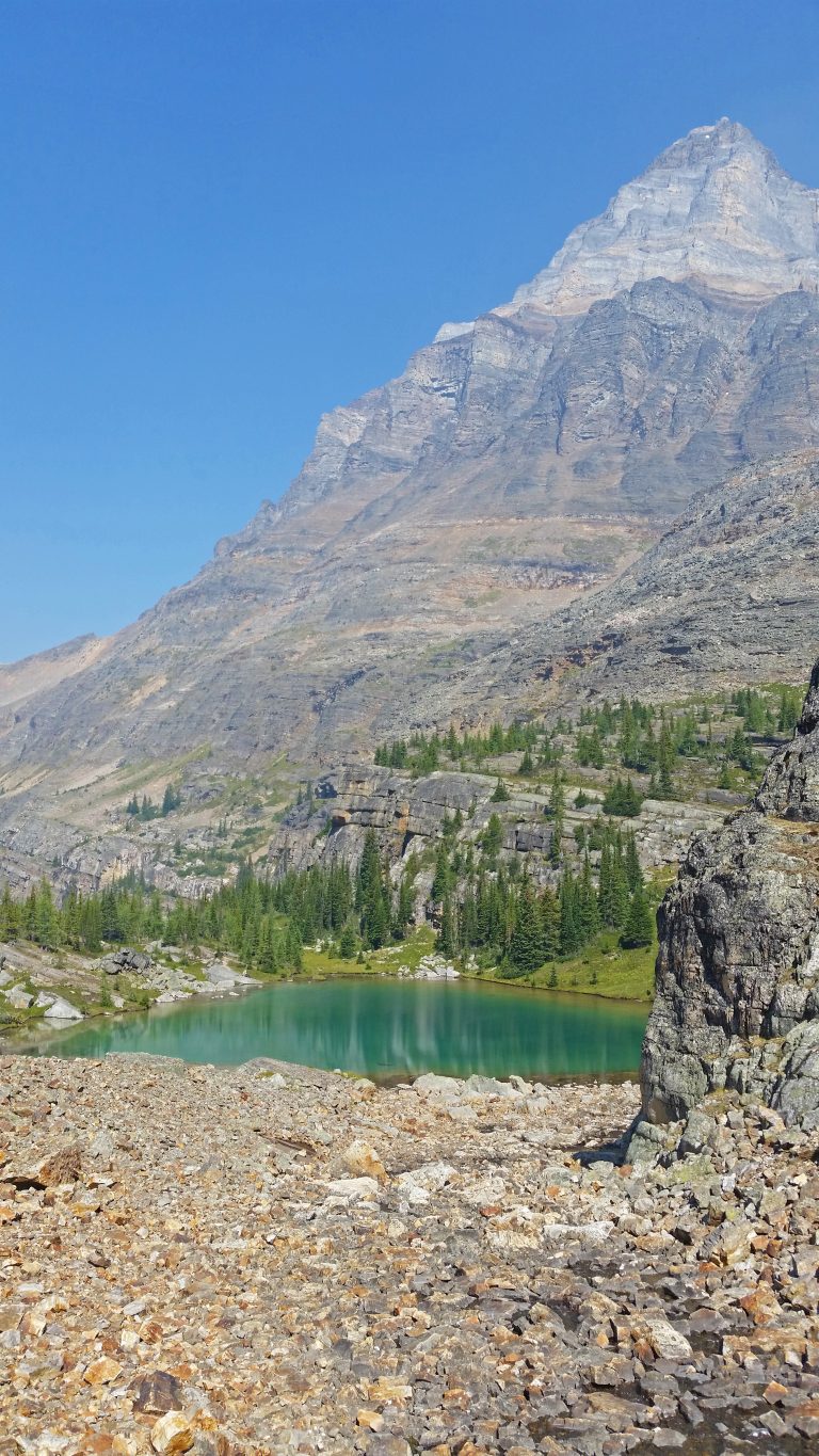
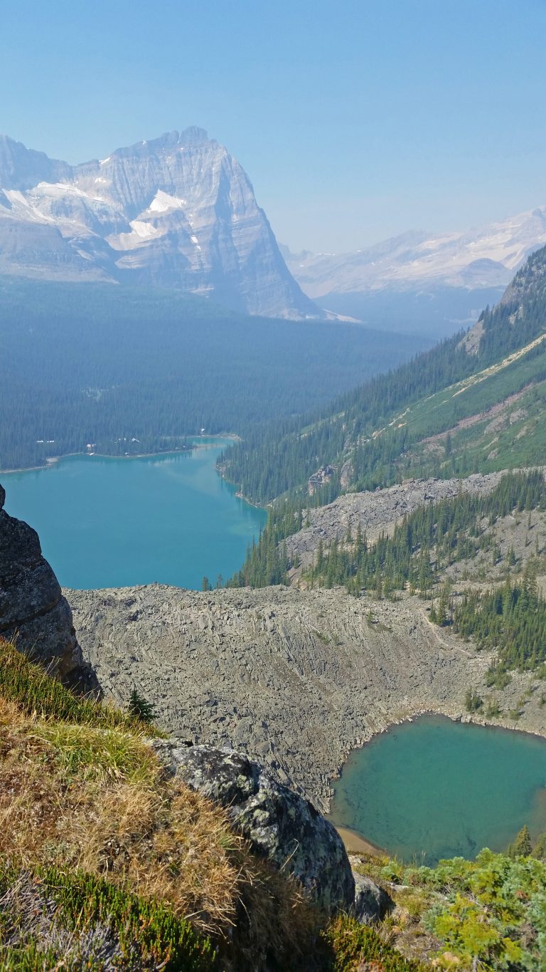
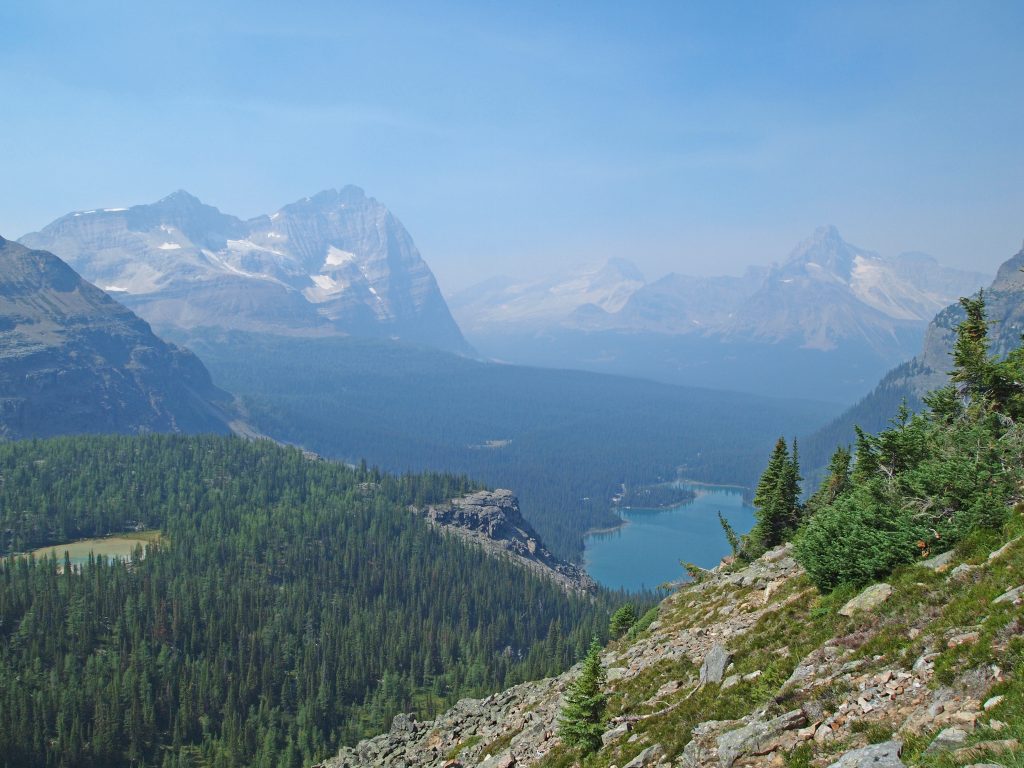
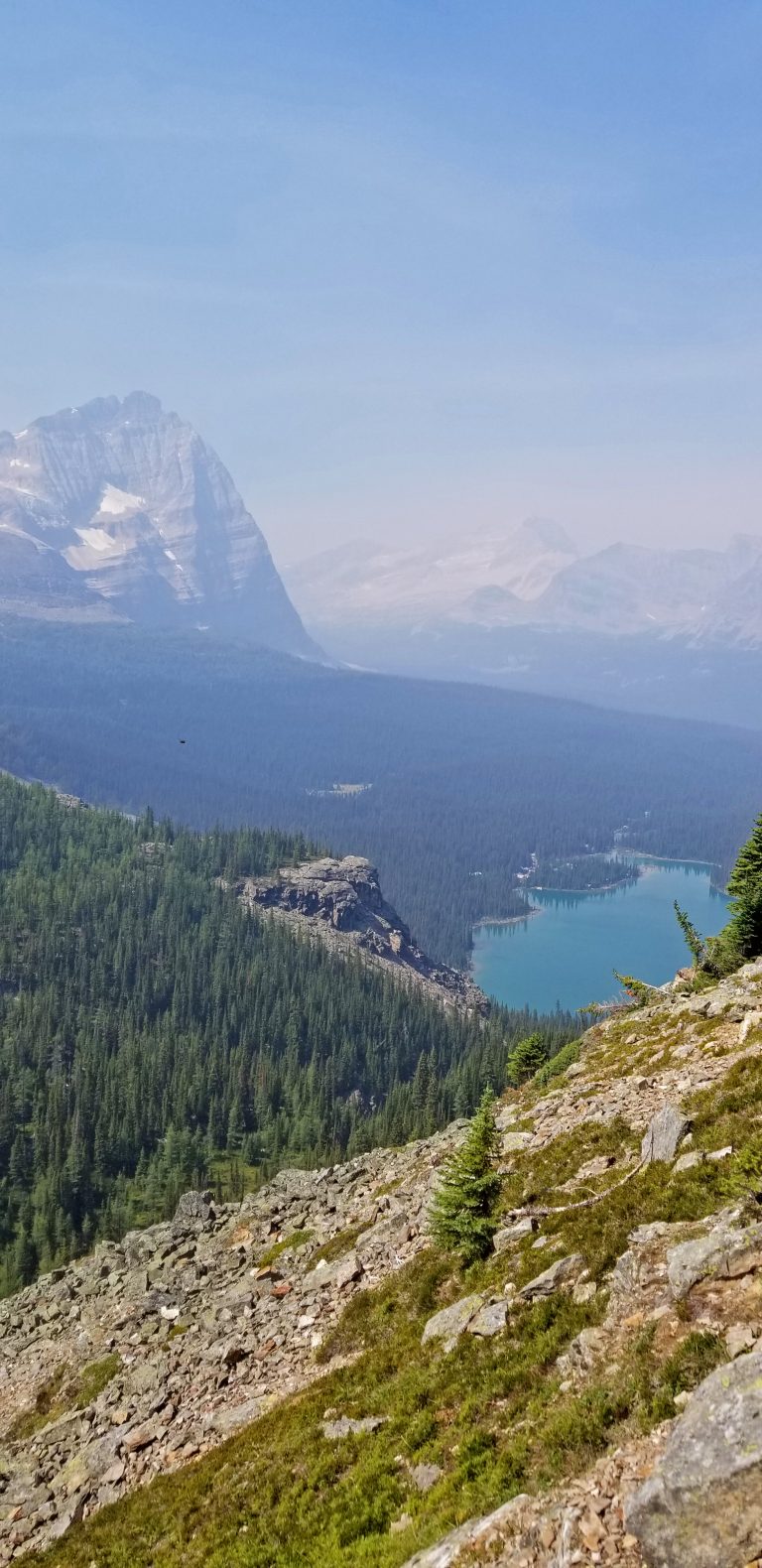
About 3.8 km into our hike, and about 830 feet above Lake O’Hara, we are arriving at Lake Oesa.

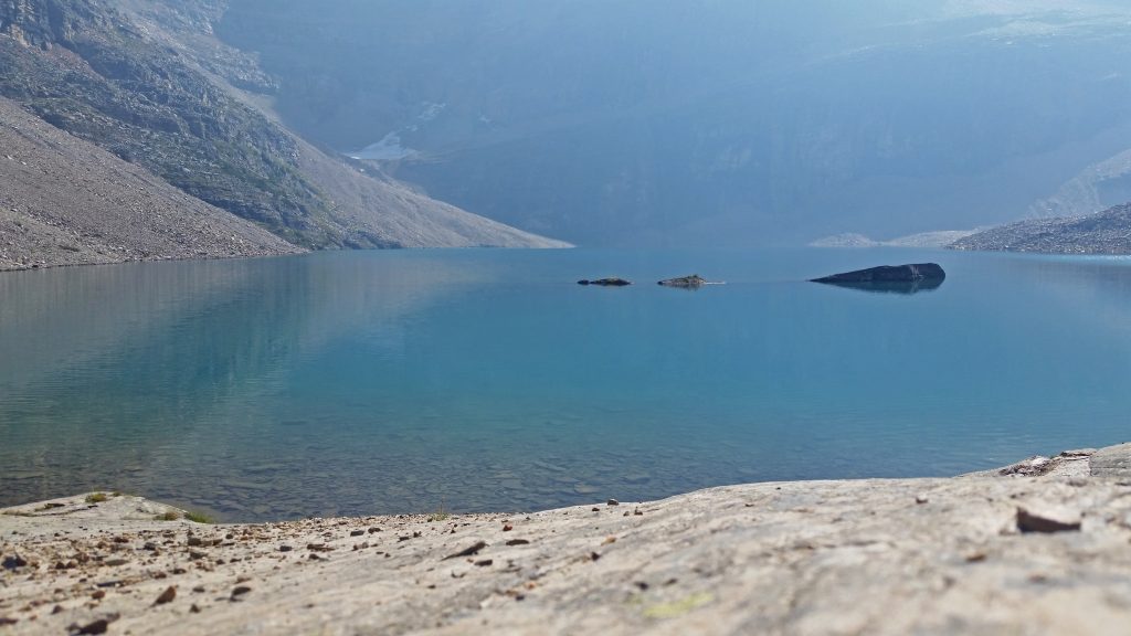
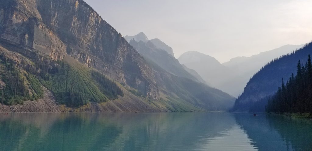
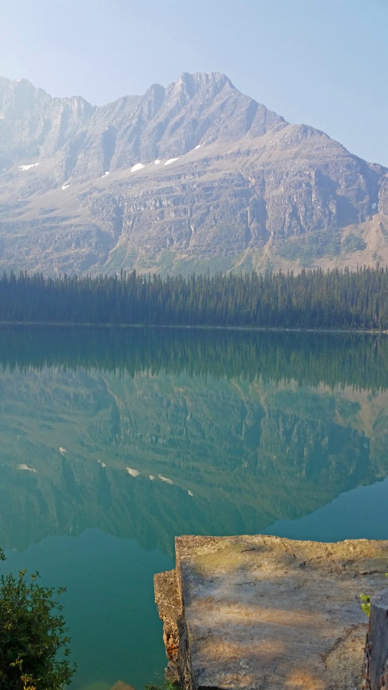
Up here at Lake Oesa, it seemed to be very hazy. It’s like the smoke blows into the valley and gets stopped by the wall of mountains at the back of the lake, and the haze just sits there!
We rested here for a bit, had some sandwiches for lunch, and then continued on our way.
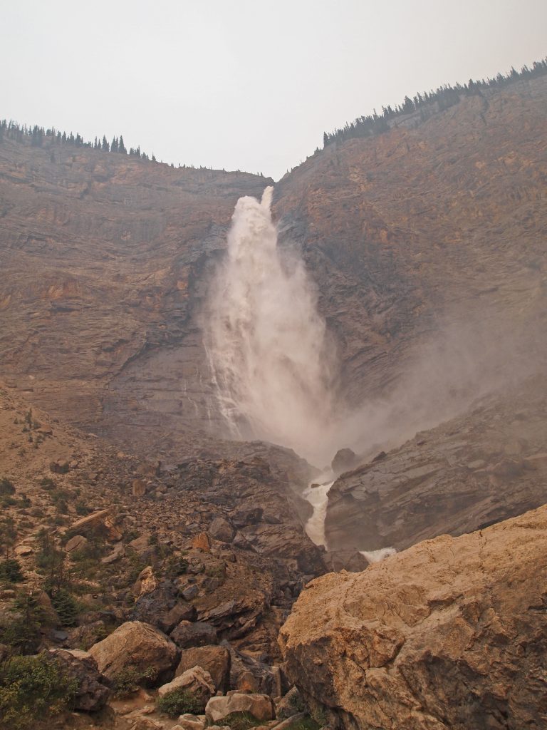
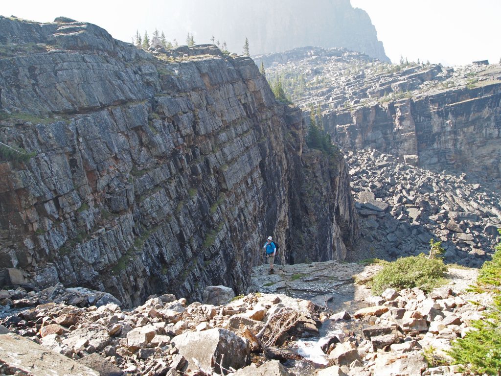
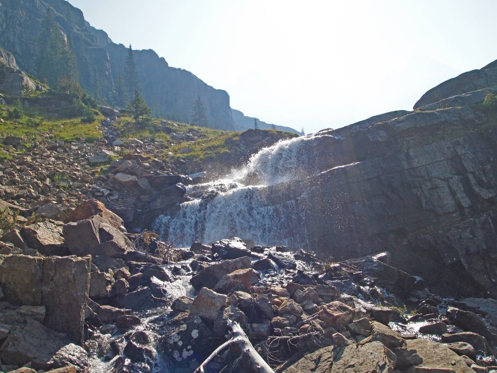
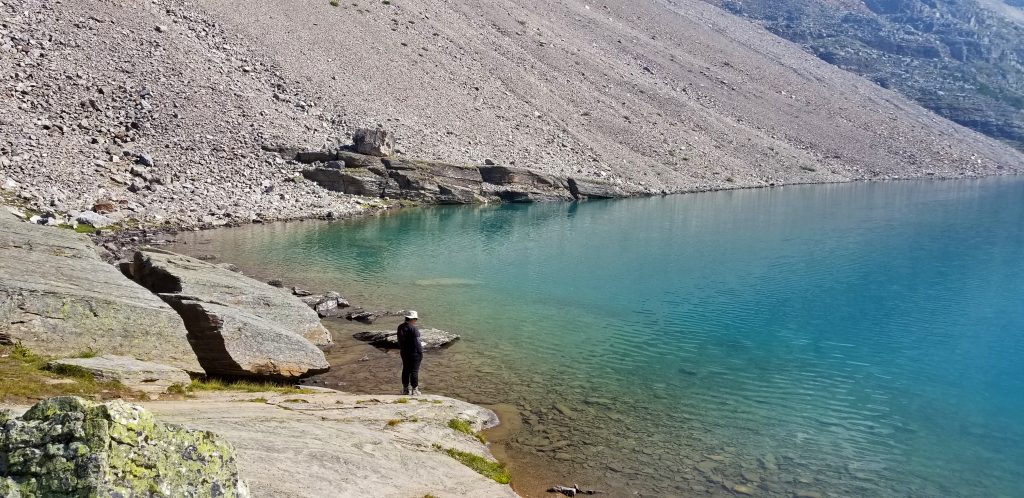
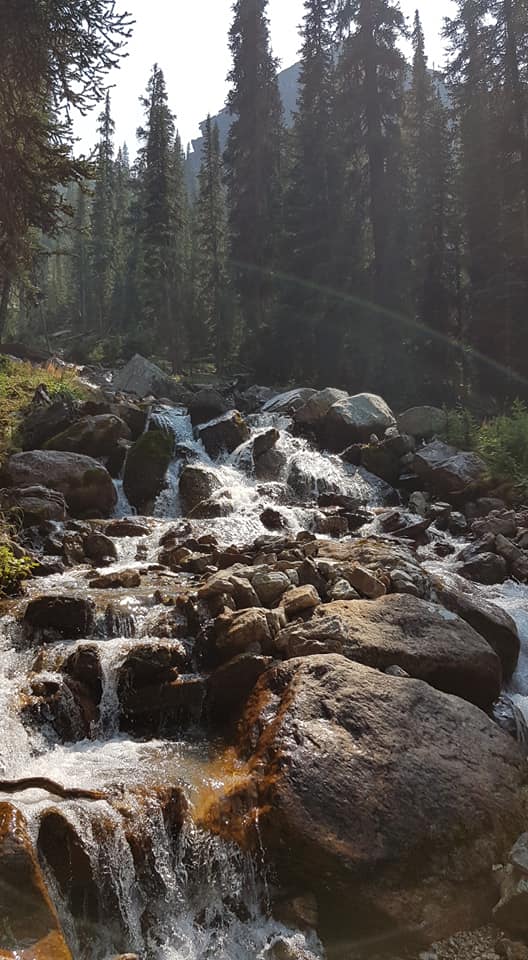
Shortly after leaving Lake Oesa, we dropped down to cross over the outlet stream below the small falls exiting the lake.
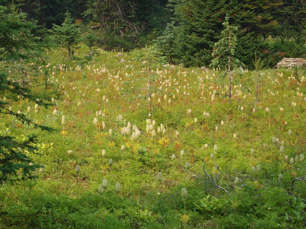
Apparently, there’s a lot of photo opportunities here!
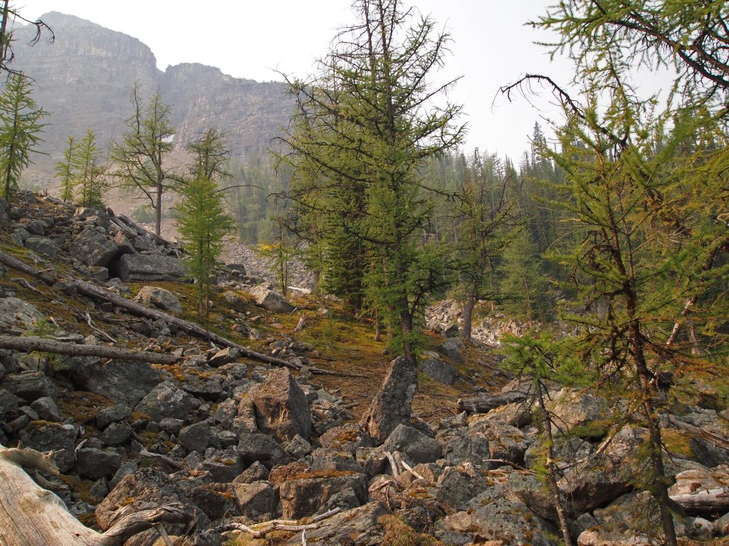
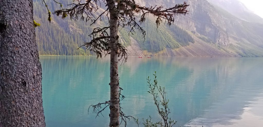
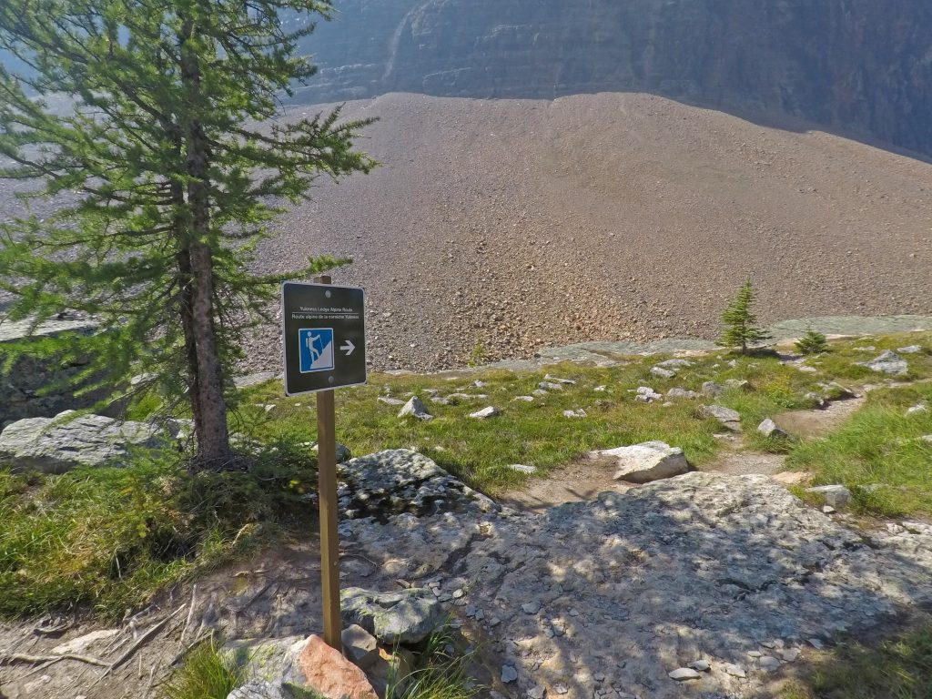
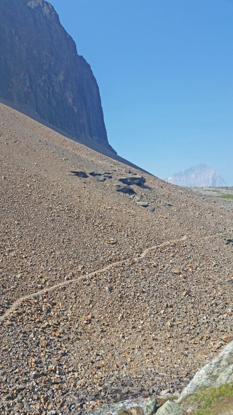
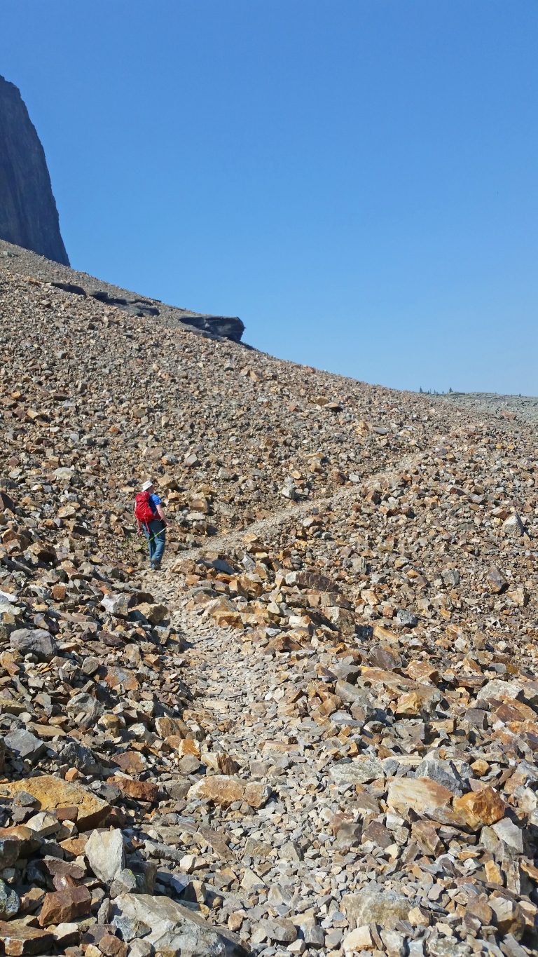
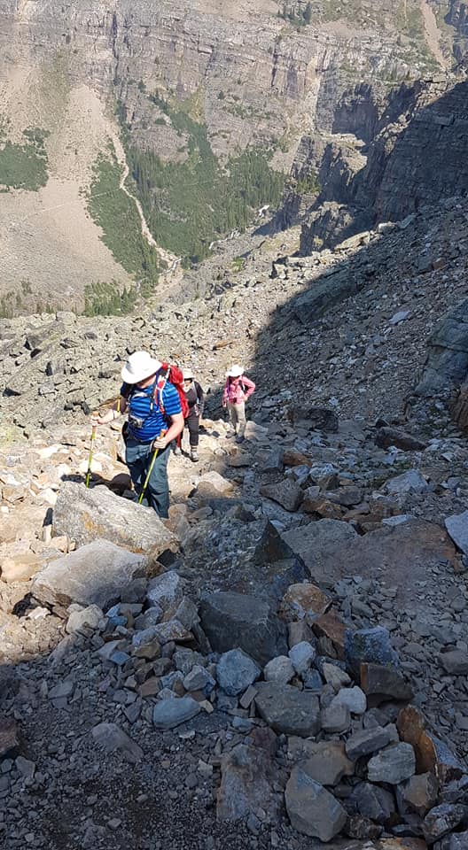
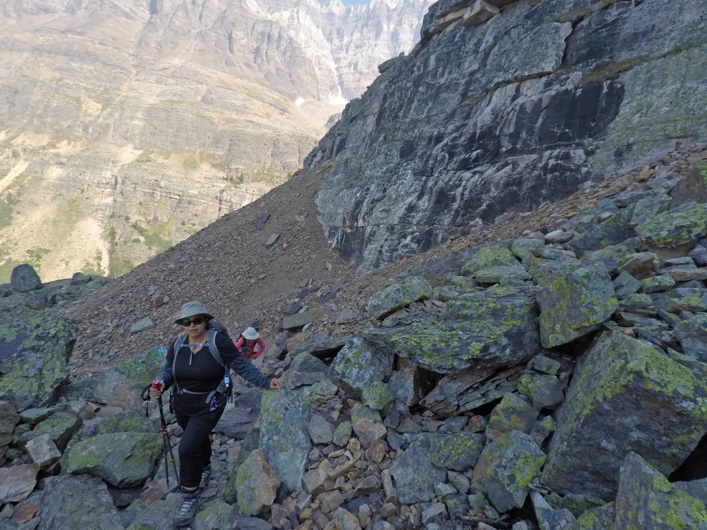
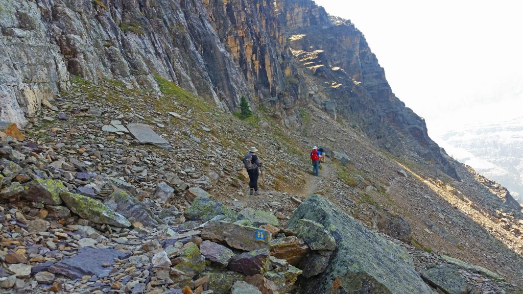
After a short climb down to Lake Lefroy, we started back up again, but this time, up a scree slope toward the Yukness Ledges.
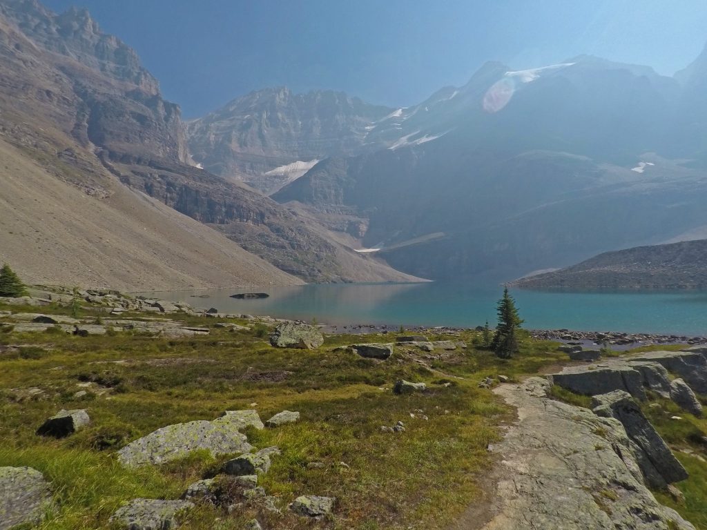
This is looking across to Lefroy Lake, which is the small lake below Lake Oesa but above Victoria Lake.
And continuing up the scree…
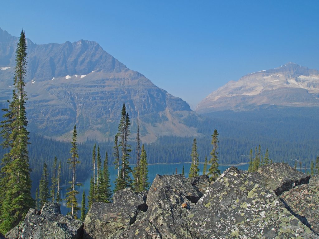
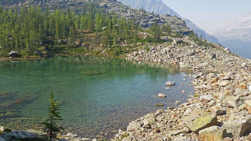
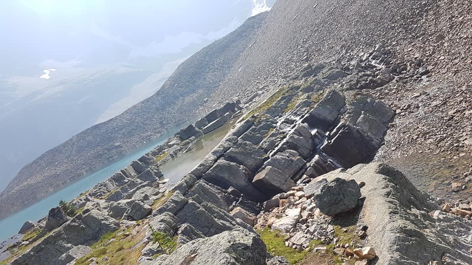
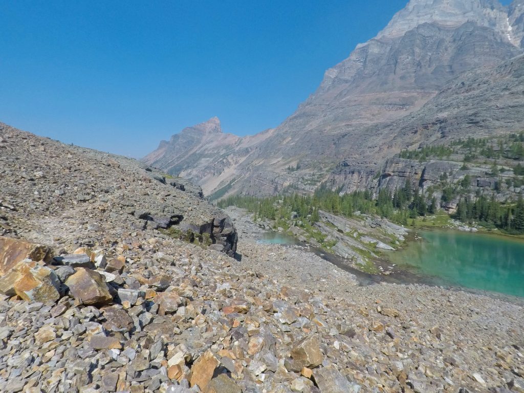
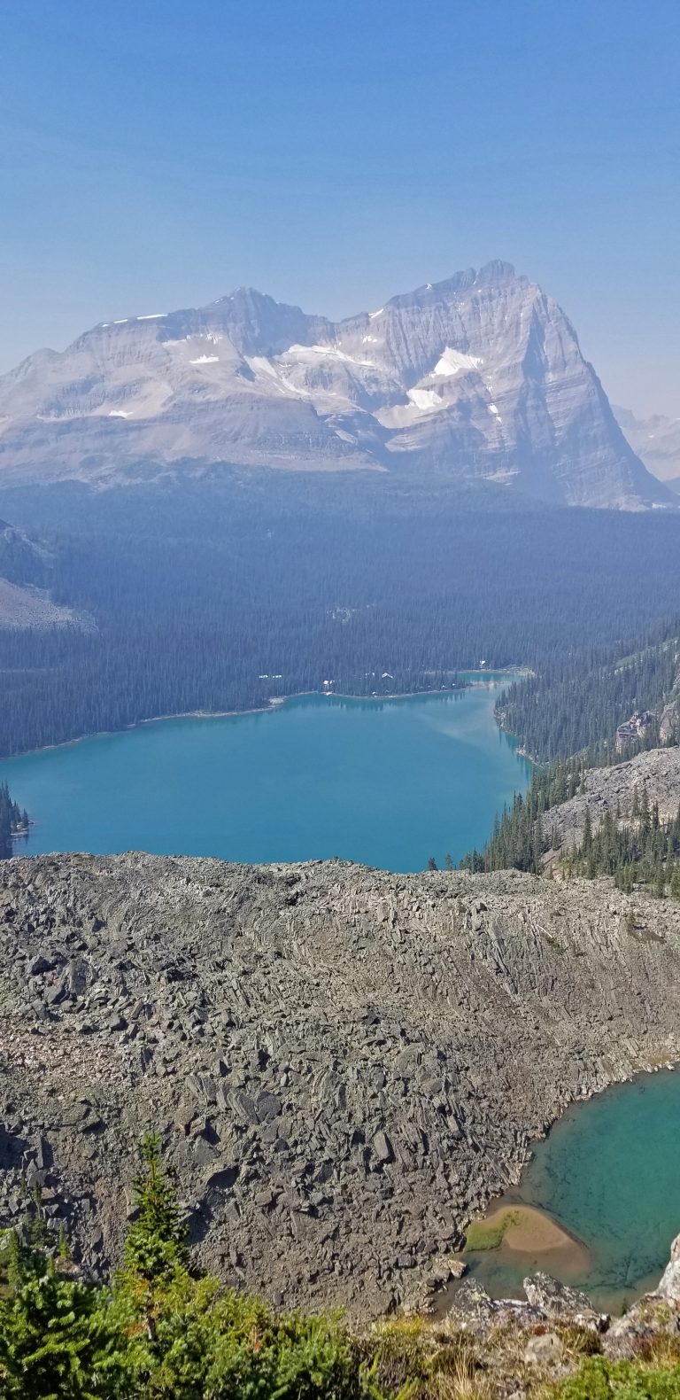
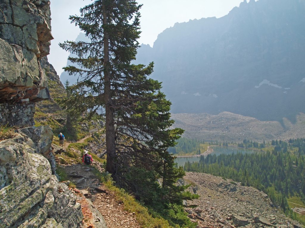
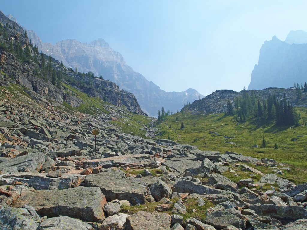
After leaving the scree and turning to large rocks, the trail passed the shortcut back down to Victoria Lake. It then turned left and followed a series of ledges around Mount Yukness. Here’s Yukness Lake immediately below, with Lake O’Hara further below in the background.
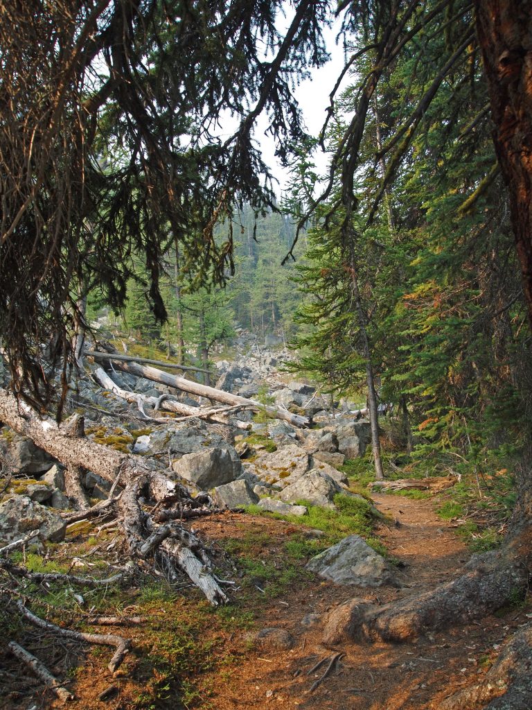
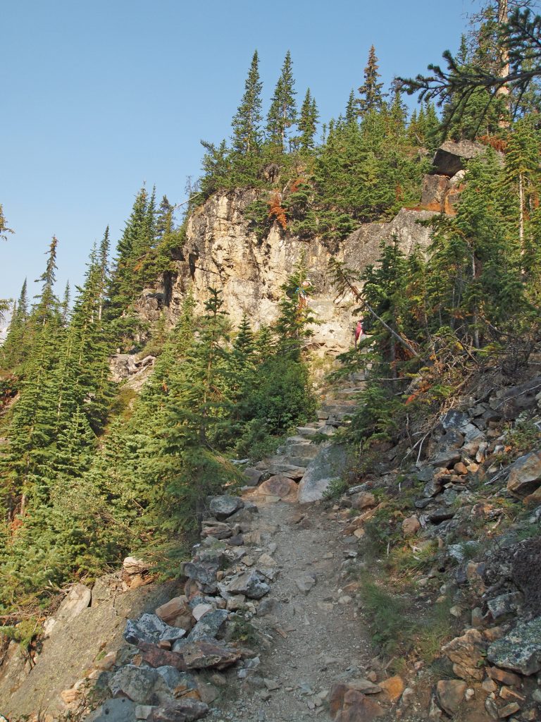
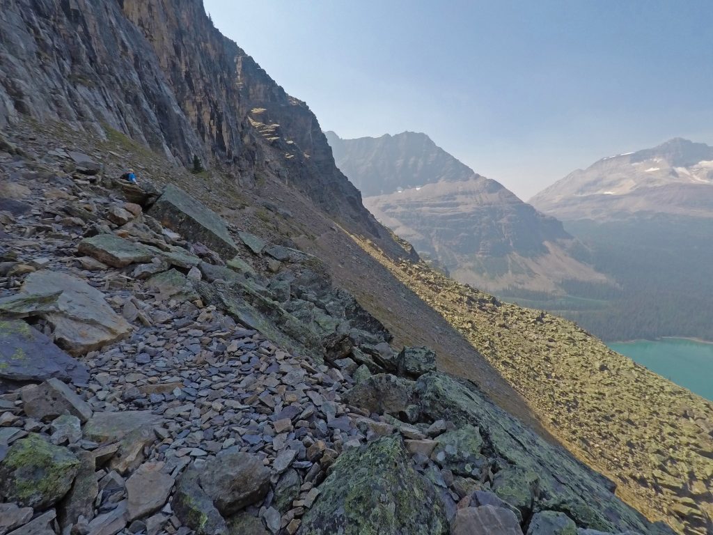
We continued following the trail, which contoured up and down, and varying from scree to rock ledges to large boulders.
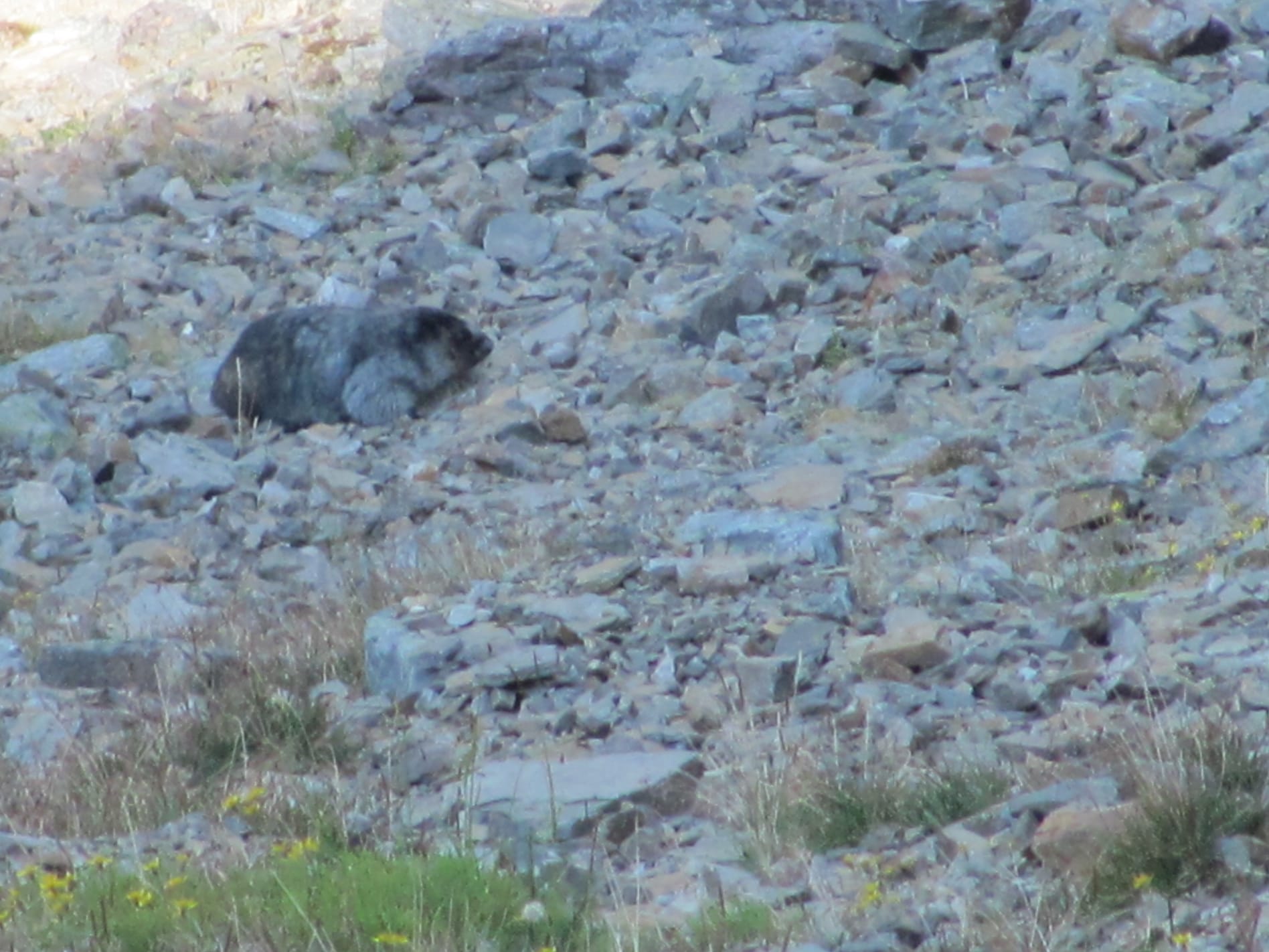
Came across a pair of hoary marmots on the rocky slope below us.
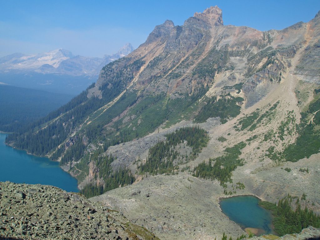
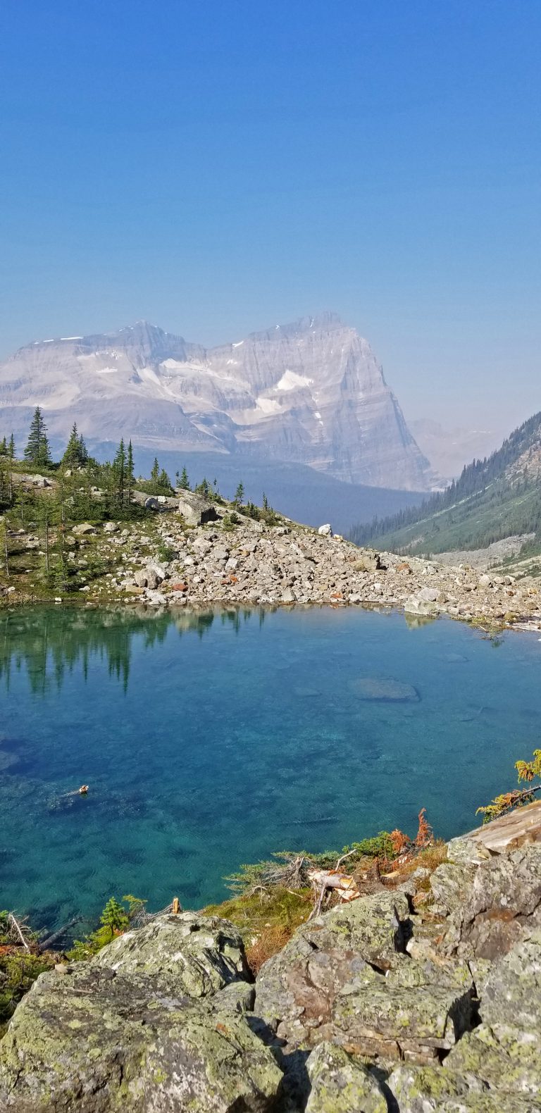
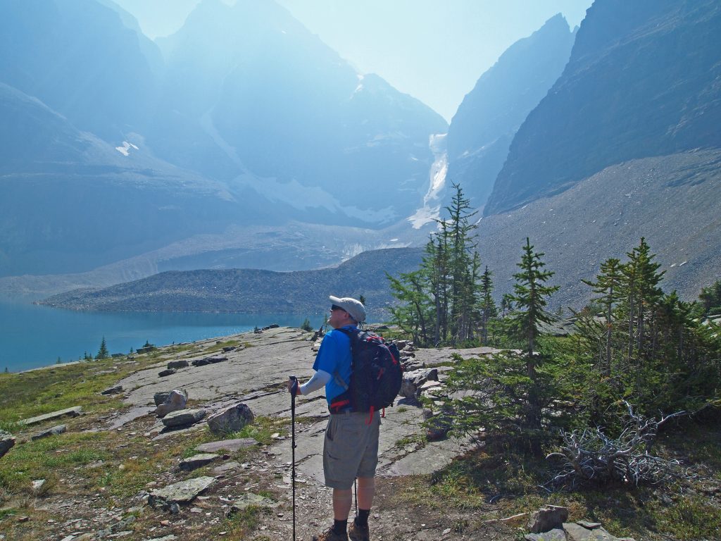
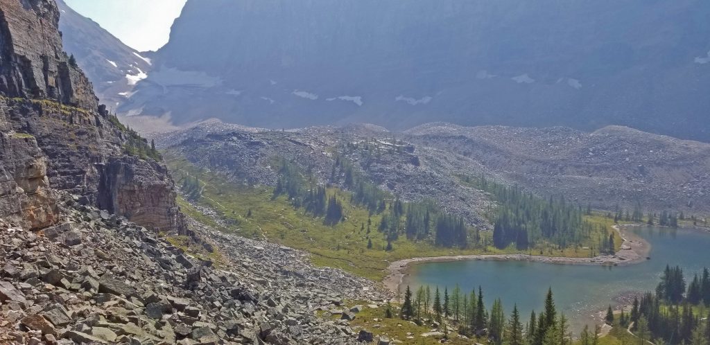
At this point, we’re getting close to Hungabee Lake, and are on the other side of Mount Yukness from Lake Oesa.
You can see Hungabee Lake coming into view just ahead and below us.
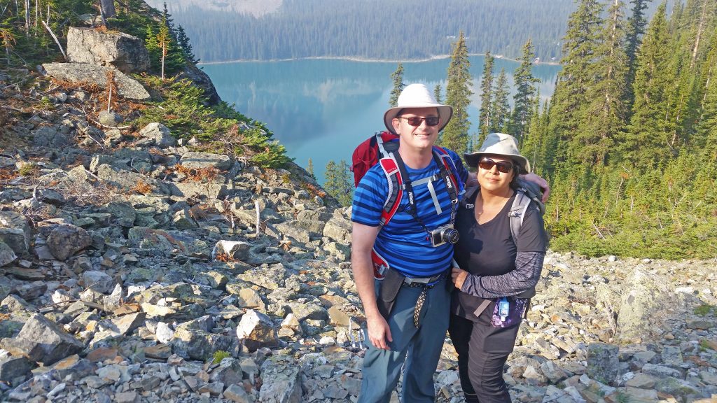
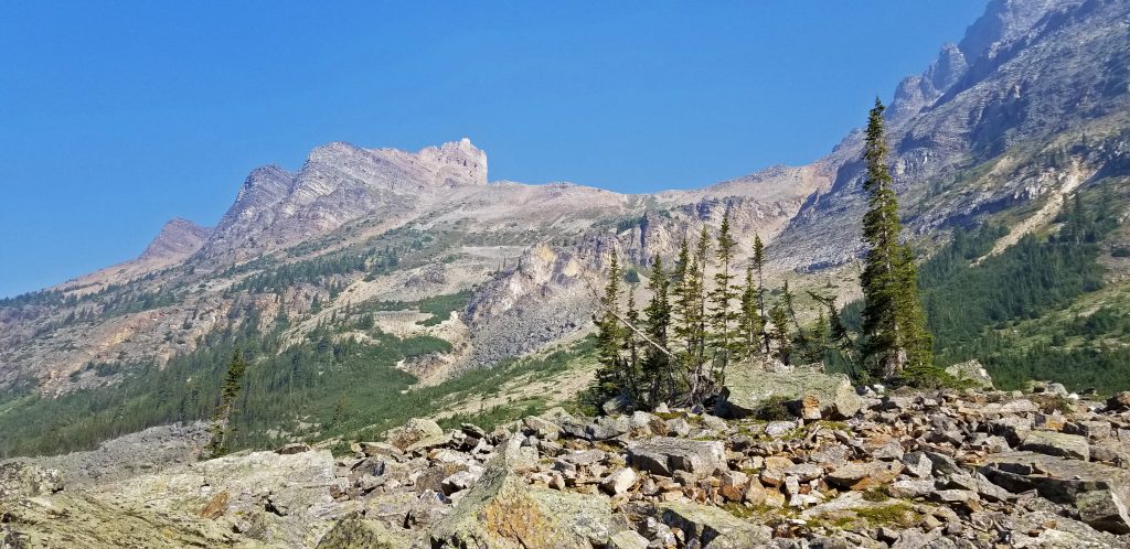
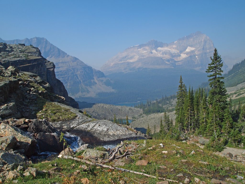
From this spot on the trail, we have a nice view of the moraine on which Opabin Lake sits, just above Hungabee Lake. We visited Opabin Lake last year, coming up the West Opabin Trail, and stopping at Opabin Prospect and Moor Lakes on our way, before descending to Lake O’Hara by way of the same trail we plan to take today.
Now we just have to descend the boulder field to get to Hungabee Lake.
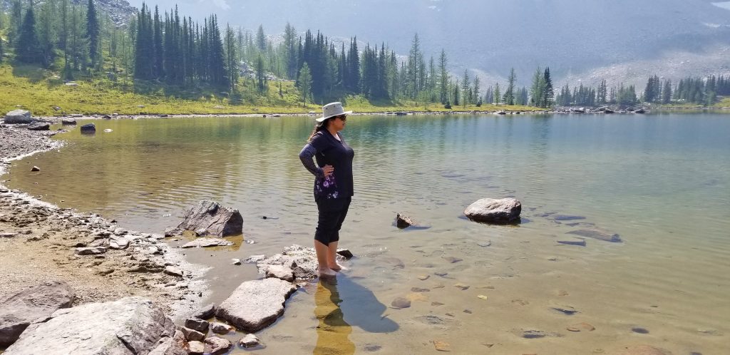
We rested for a bit on the rocks beside Hungabee Lake and had a small snack. Here is Nadine cooling off her feet in the lake.
Doing a quick time check, we decided to get going back down the East Opabin Trail to Lake O’Hara to try to make the 4:30 bus out. I would have preferred to take the west trail, which I consider to be far more scenic than the east, and make a detour over to Opabin Prospect, but we probably would have had to wait for the 6:30 bus if we went that way.
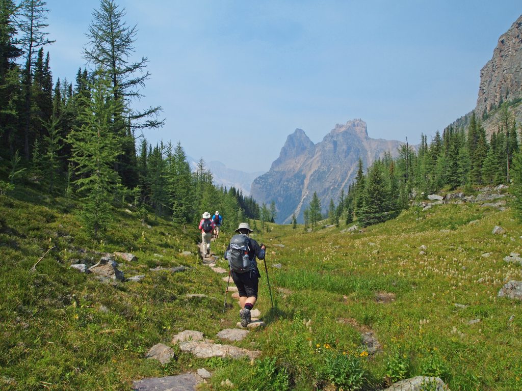
After hiking the gentle trail down the Opabin Plateau, we soon entered the trees and followed the switchbacks down through the forest.
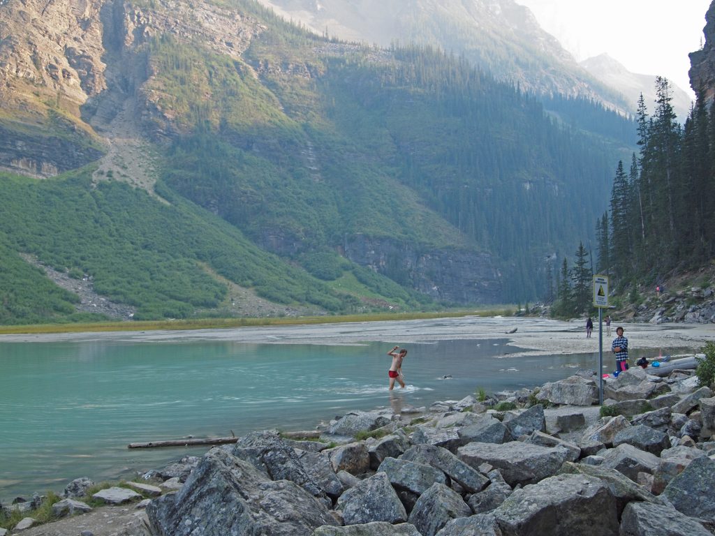
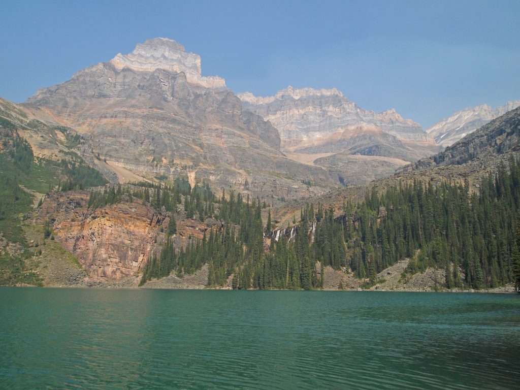
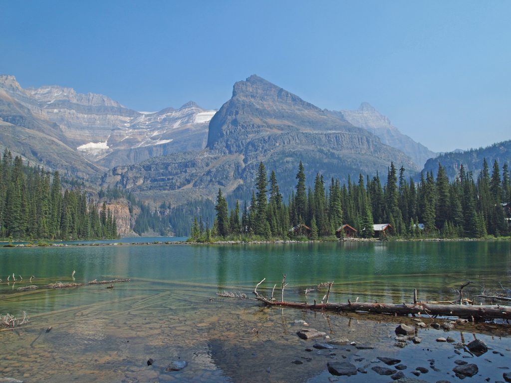
Arriving at the shoreline of Lake O’Hara, we turned left and followed the lakeshore back to the trailhead.
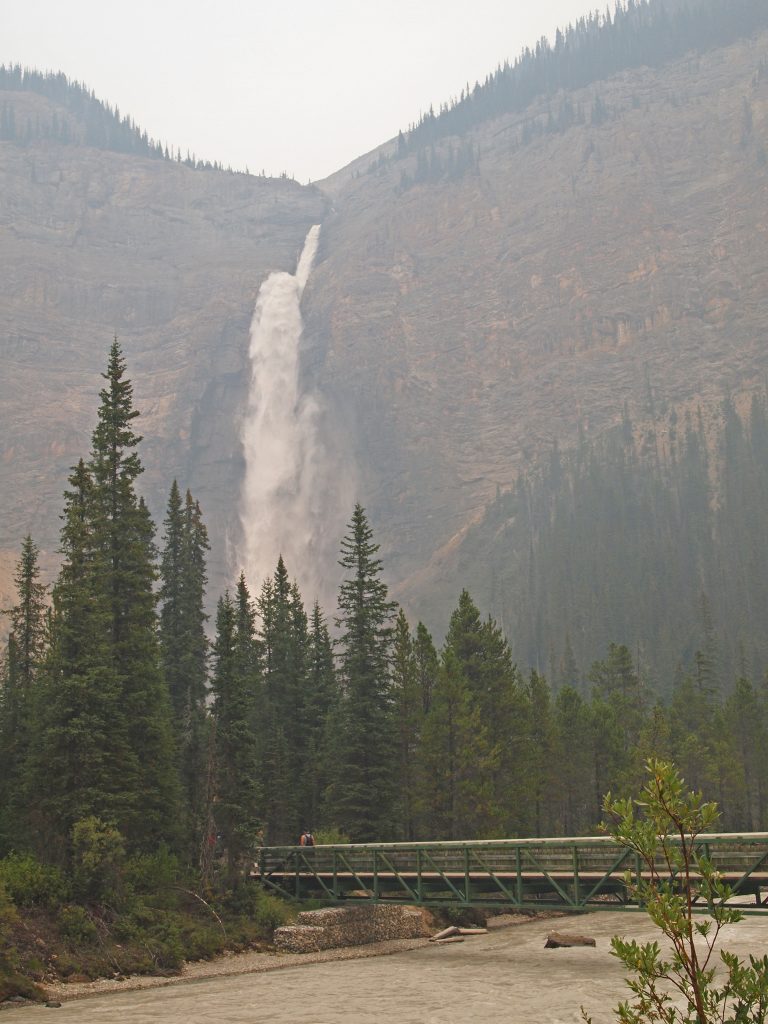
You can see the Seven Veil Falls across the lake, which we went up at the end of our hike last year.
This seemed like a great spot to rest!
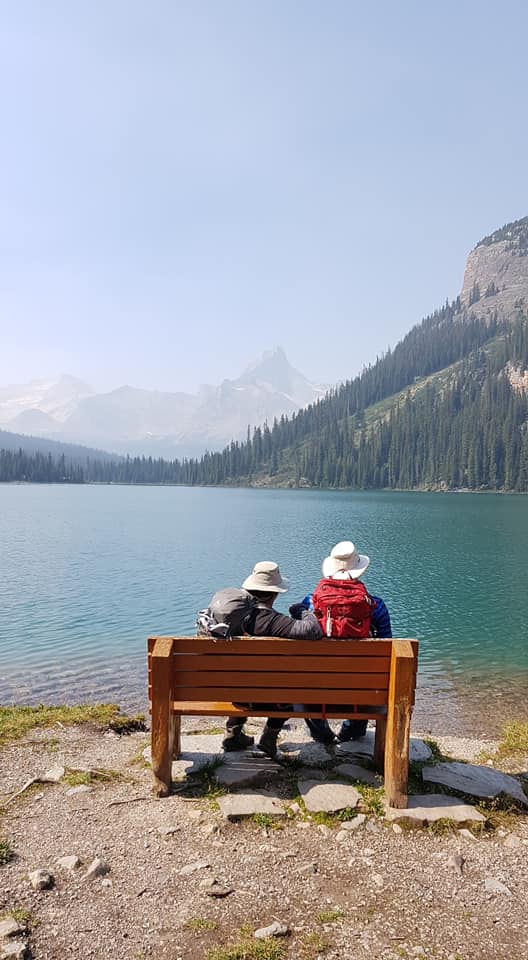
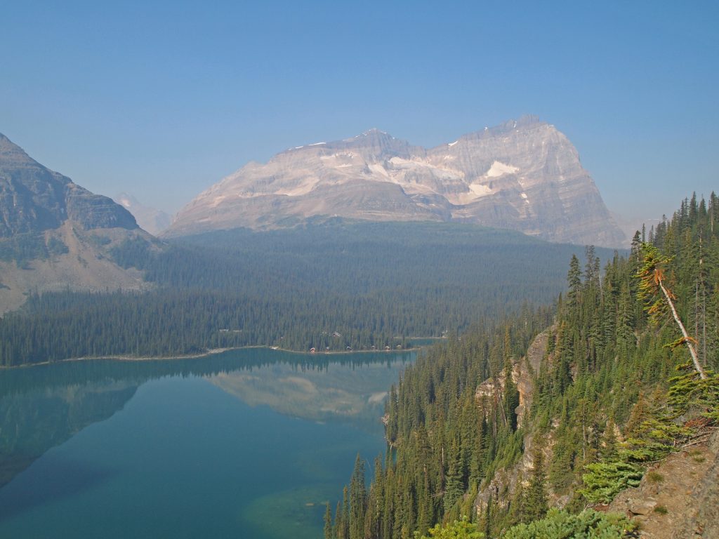
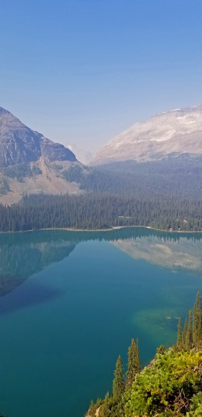
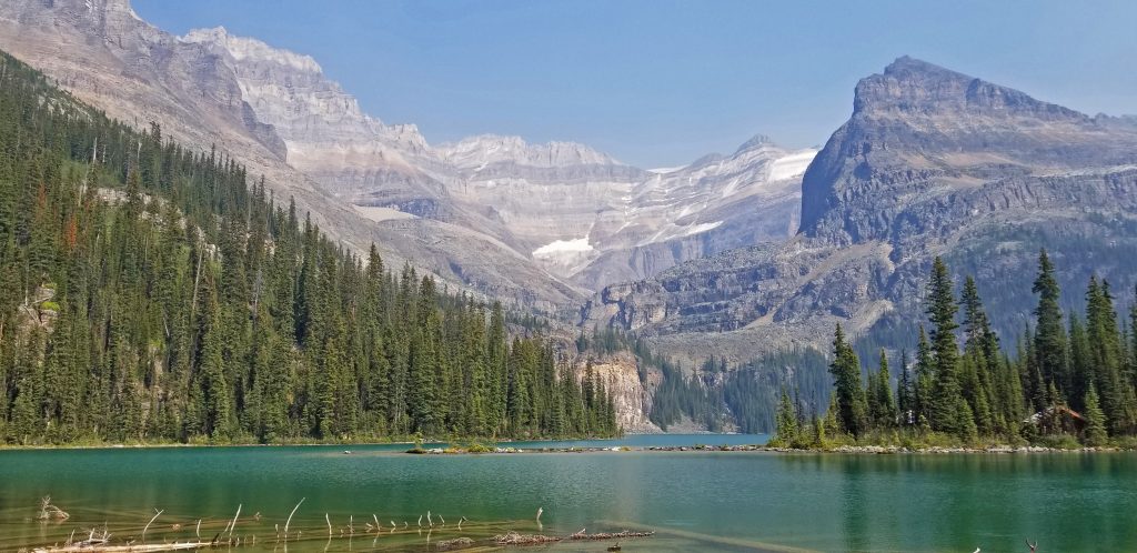
And here we are back at the beginning of our hike. The photo below shows the cabins of Lake O’Hara lodge in the foreground on the other side of the little bay in front of us. At the back of the lake you can see the Seven Veil Falls. In the centre of the photo is Mount Yukness, which we hiked around. We went up the valley on the left, where Lake Oesa sits. On the right is the Opabin Plateau, where we returned from.
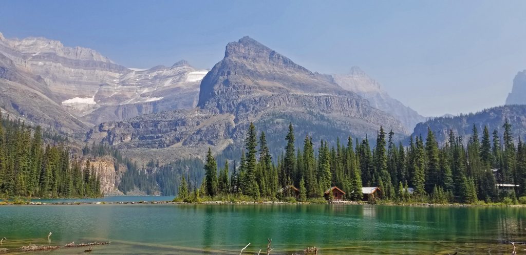
And a few more perspectives of the same…
This is the Le Relais day use shelter, where they have some really nice carrot cake to enjoy while waiting for the bus.
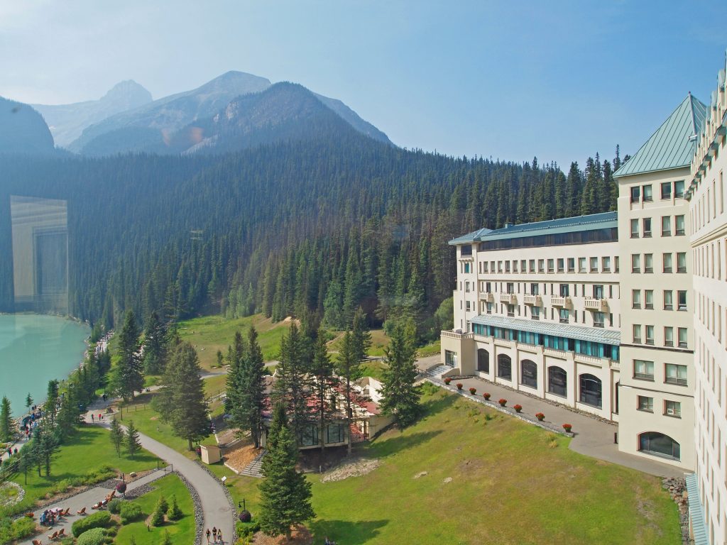
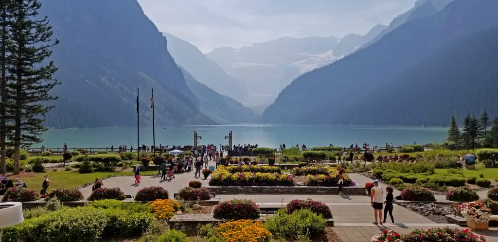
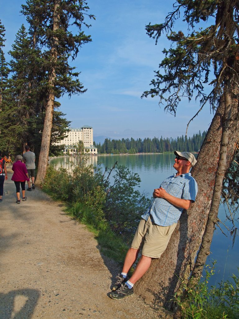
We took the bus back to the parking lot, and drove back into Alberta and up to Lake Louise. After getting cleaned up, we enjoyed another nice dinner in the Lakeview Lounge.
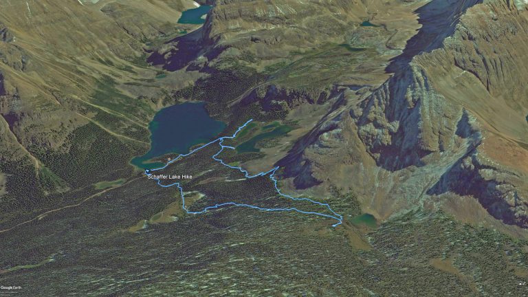
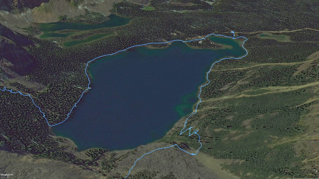
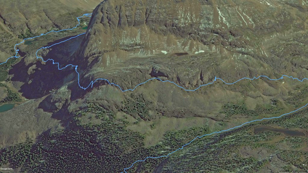
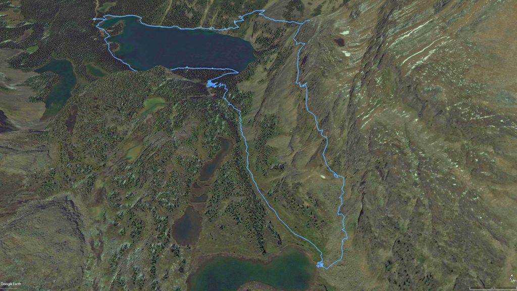
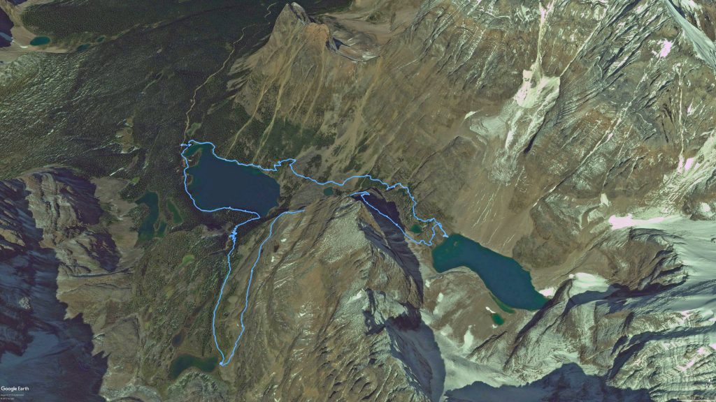
With every hike we take, I like to keep a GPS track recording so I can later visualize where we went. Here are some images of GPS track, starting with an overview of the entire area.
Below is an overview of the entire hike, but zoomed in on the area covered.
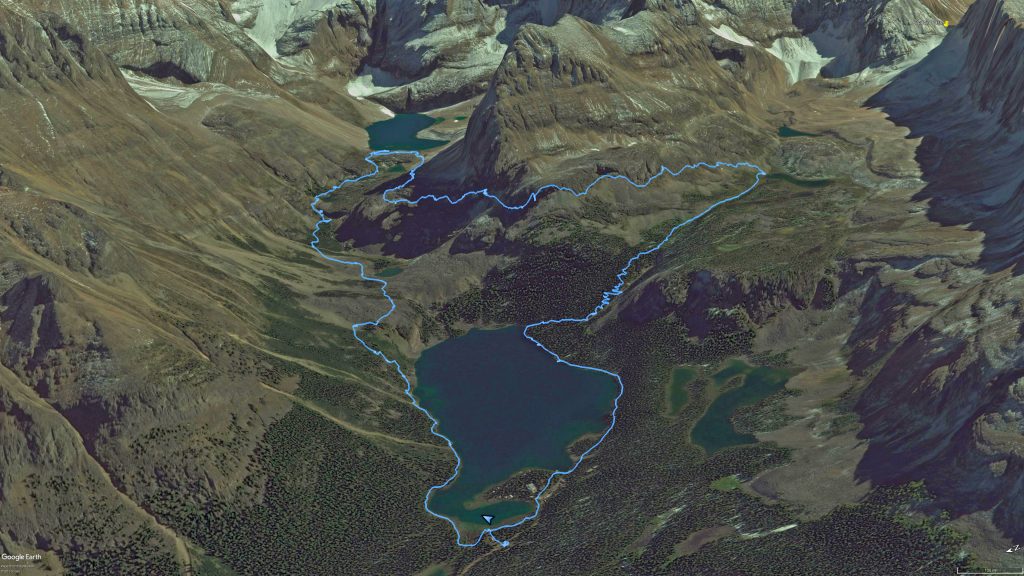
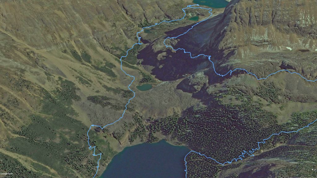
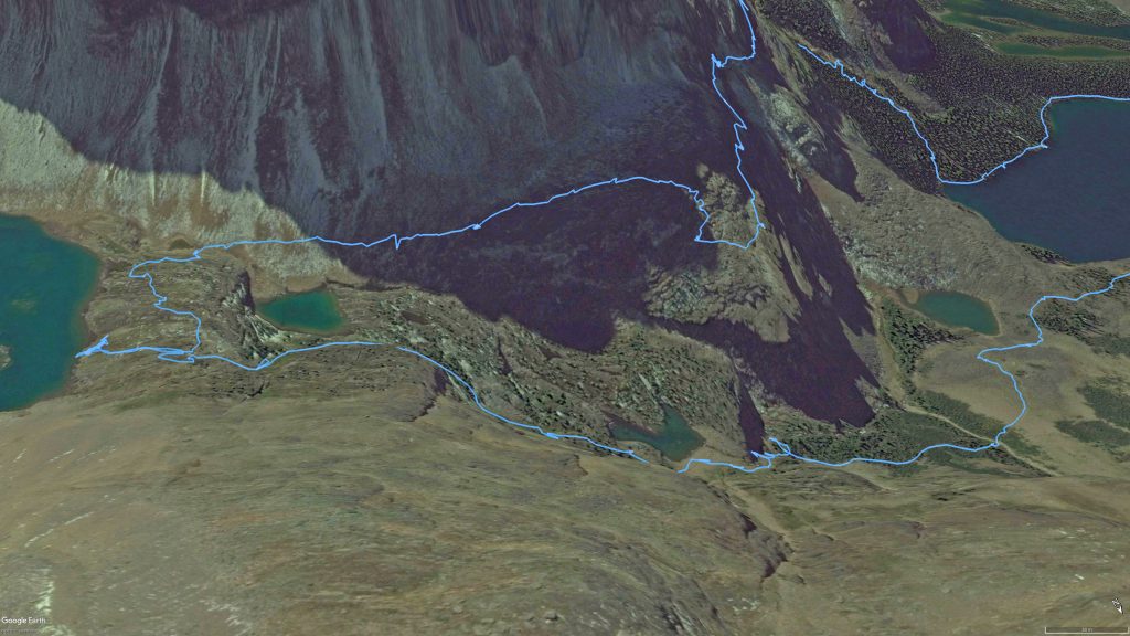
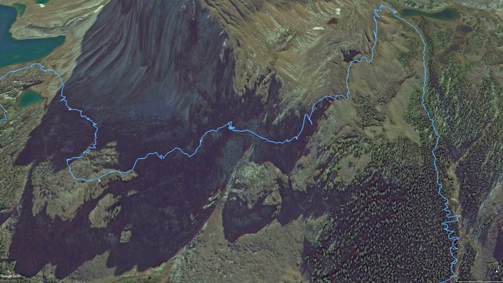
Following are some zooms of various sections of the hike.
For those of you who would like them, I’ve uploaded our GPS track files here for download.
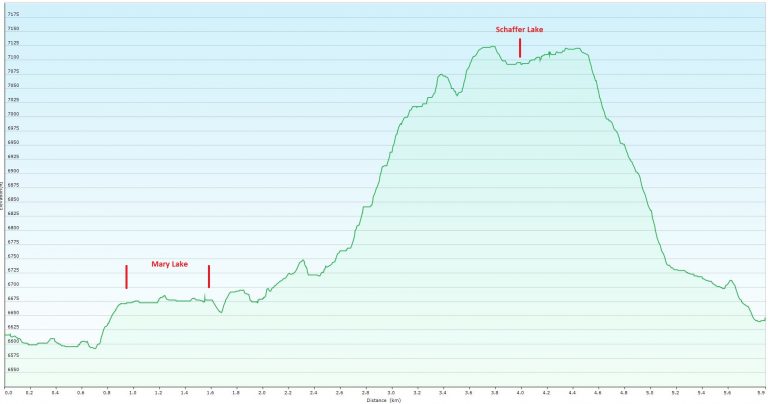
Below is our hike overlaid on a topographic map of the area a corresponding elevation graph below.
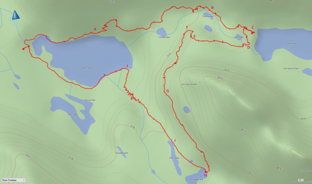
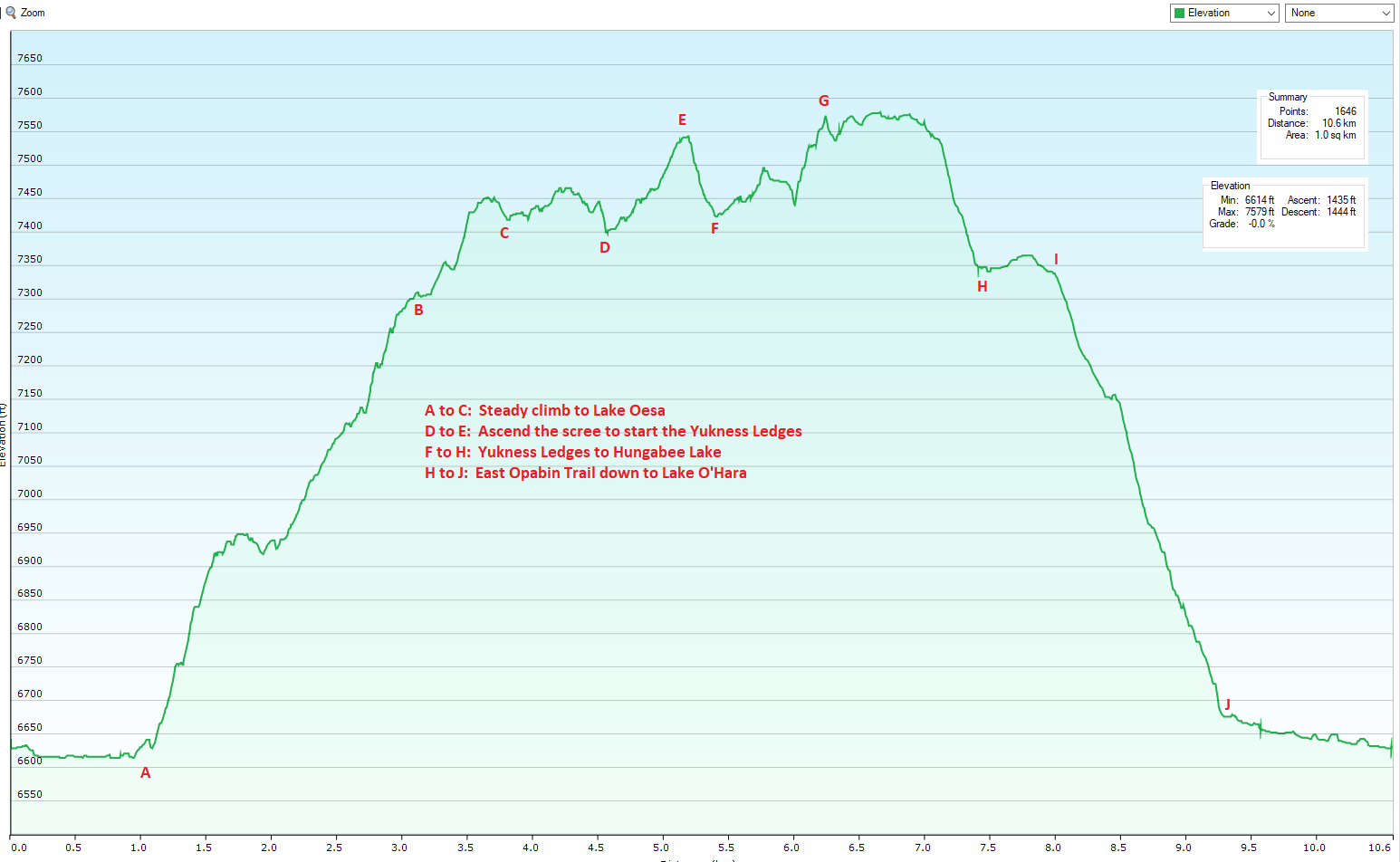
Our total distance covered was 10.6 km. Our minimum elevation was 6,614 feet and maximum elevation was 7,579 feet, for a net elevation gain of only 965 feet. Total elevation gain and loss was 1,444 feet, after accounting for the various sections of going up and down.