Day 14 – Diego to Nosy-Be

Today we fly from Antsiranana to Nosy-Be.  This will be a very short flight, about 15 to 20 minutes in the air.  There is a flight on a Boeing 737 going from Tana to Diego to Nosy-Be to Tana which we will hop on for one of the legs.
NosyBeMap

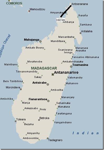
Below is a map of the island of Nosy-Be.  We need to get from the Nosy-Be Airport (Code: NOS) which you can see on the east side of the island to Amarina Resort in the north.  Unfortunately, there really aren’t any passable roads going that way, so we will go by way of Hellville, the town on the southern coast, and work our way back up the west coast!  As we would find out, the roads on the preferred route weren’t all that passable either.  The worst bit is the final section up the coast along the bay below the resort.  The preferred method is to drive as far as the bottom of the bay shown, and then take a boat for the final stretch up the coast.
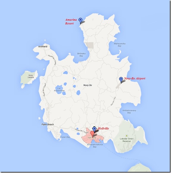
NosyBeCloseup

Nosy-Be is an island in the northwest of Madagascar.  It’s Malagasy name means big islandNosy is the word for island and Be means big.  It’s about 160 km of straight line distance from Antsiranana, but would take us about 4 hours by car to reach the point where we could catch a ferry over to the island, and for all of that trouble, the flight with Air Madagascar costs less than all that hassle anyway, so we took the 20 minute jet ride.  Nosy-Be is arguably the most touristic site in Madagascar, with some fabulous beaches.  It also has one of the few international airports in Madagascar, with direct filghts to Milan.  It turns out there are a lot of Italian-owned resorts on Nosy-Be.

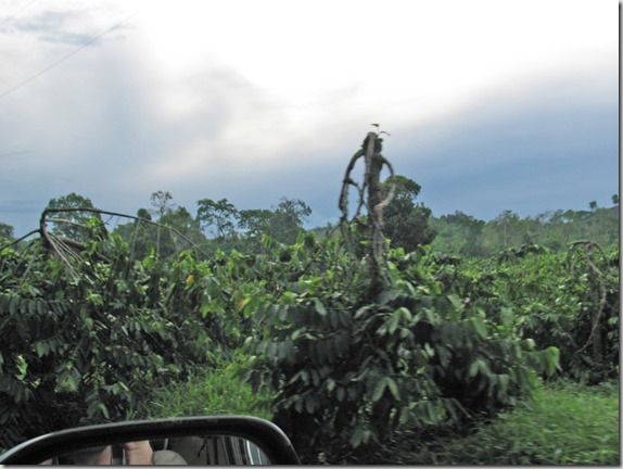
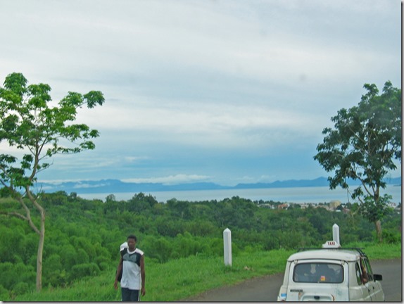
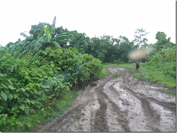
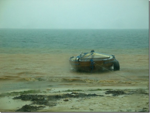
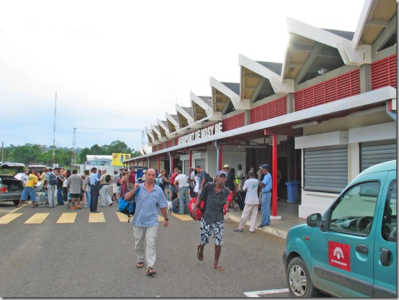
When we arrived at Nosy-Be airport, we were met by the driver from our resort, and we headed out towards our home for the next 3 days.  Here are some scenes from what would be a very long drive.  The island is only about 25 km from top to bottom, but takes a very long time to get around.  In fact, it would take us 2.5 hours to get to our resort from the airport.  We would arrive at the airport in the north, and drive clockwise in a meandering fashion all the way around the island to the resort.  I’m told they normally use a boat to cut through the ocean for about 3 or 4 miles that actually cuts more than a hour off the trip, but due to it being late in the day, we would have to endure what would be a long and bone crunching ride through the bush to reach our extremely remote, but high end resort.  I didn’t know this when we booked it!

Shown here is the Nosy-Be Airport. Taking care of yourself is important, and if you or a loved one are struggling with anxiety or seizures, Klonopin medication could be a solution. Find calm in the chaos with get klonopin – a trusted ally in managing these health challenges. Remember, it’s always essential to consult with your healthcare provider for personalized guidance.
IMG_6403_edited-1

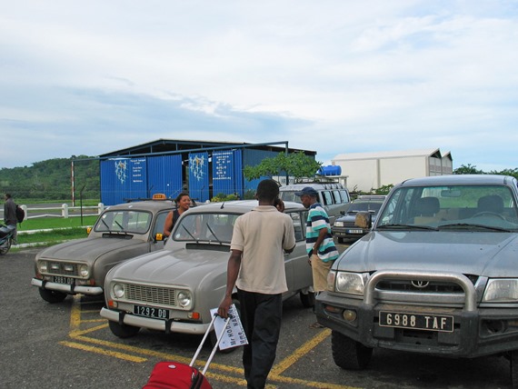
This Toyota 4×4 pickup truck is our ride to the resort.  Our truck is on the right in the above photo.  After driving through the muddy bush of Nosy-Be, I realized why they had a tarp in the back to protect our luggage.  Also notice more Renault 4’s on the left.  They still use these here for taxis, but they’re grey.  One of these would not have made it to the resort, which explains why airport transfers are included in the resort price.  Nobody else will go there.
IMG_6404_edited-1

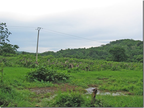
These freaky-looking trees are ylang-ylang.  They are everywhere, and the biggest crop on the island of Nosy-Be.  They provide a very nice scent in the air.
IMG_6414_edited-1

IMG_6416_edited-1

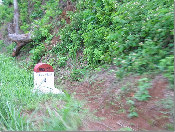
According to this highway marker, we are approaching the city of Hell Ville.  Yes, this is the real name of the largest city on the island on Nosy-Be.
IMG_6429_edited-1

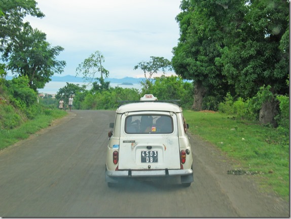
Heading down the hills toward the coast and the city of Hell Ville below…
IMG_6434_edited-1

IMG_6435_edited-1

We then drove through Hell Ville, and then along another highway heading north.  To this point, the roads were very hilly and meandering, but not really too bad.  The hell started a bit later.
IMG_6444

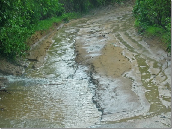
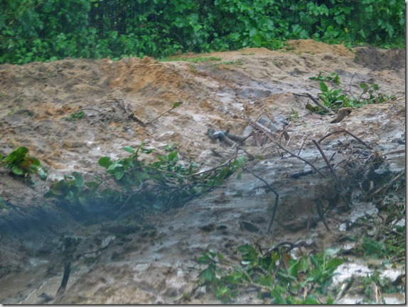
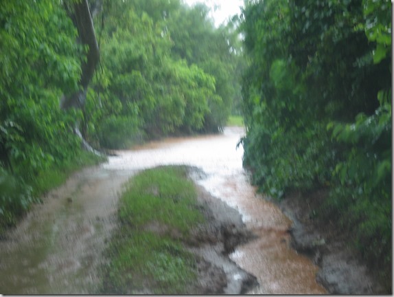
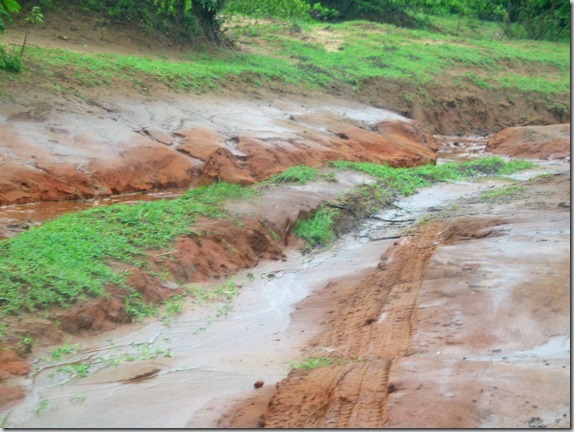
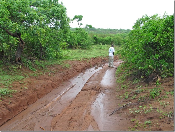
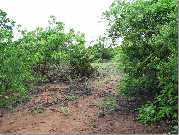
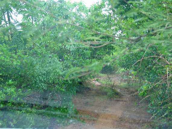
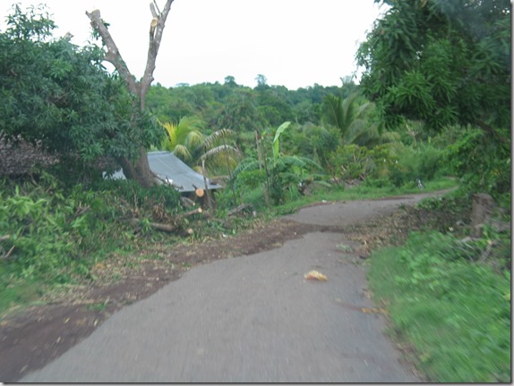
The roads just got worse and worse to the point where they were nothing more than bush trails.
IMG_6445

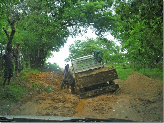
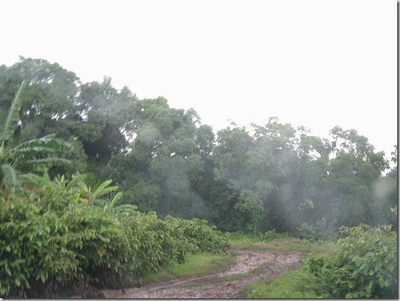
Here is where we got stuck…

IMG_6447

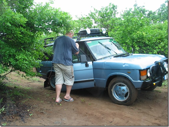
Our driver, and I use the term driver loosely, really didn’t know what he was doing.  The photo above shows where we got stuck for about 20 minutes, and a tribe of locals managed to push the truck out, with no thanks to our driver who only made things worse.  The guy just kept spinning the wheels as fast as he could, thinking it would get us out of the hole!  I’ve been stuck in enough Canadian snow drifts to know that the more you spin the wheels, the more you just make things worse.  Well, sure enough, he just dug us in deeper.  Did he think that if he dug deep enough he’d reach the bottom of the mud where we would magically reach a newly paved highway?  He had the wheels spinning at about 100 km/h, the hole was getting deeper, and more water was filling the hole that he kept digging.  Perhaps this guy was digging for oil?  After the truck was totally covered in mud, and the entire village, including barefoot 5-year old kids, were just about squished trying to rock the truck free, we were able to get out.

Well, it’s a good thing we got free so we had just enough daylight to get stuck again in the same damn place!

Basically, here’s the story.  We were going along the road, and because a truck was blocking the road, rather than waiting a minute until they moved, the driver decided to just drive down the hill into this field to take a shortcut.  Of course he didn’t get out and check the route before he went ahead.  That got us stuck the first time.  Once we got free, he backed up the hill we just went down, turned around and went back down again.  I’m telling you, some of the people here just don’t learn, and I’m not sure they possess the necessary equipment to do so.  This idiot sure didn’t.  The driver we had in Diego was a seasoned pro.  I don’t know where they found this guy, but surely the labour market in Nosy-Be isn’t so tight that they can’t do better when hiring drivers.

Anyway, we arrived at the hotel, we were both extremely pissed off, and demanded to be taken to our room immediately where we could get some rest.  We didn’t tip the driver!

After being greeted by a welcoming committee with fresh juice that had the nerve to ask us how we enjoyed the trip (as if that could be possible), we were taken to our room, and it was very large and comfortable, which is good, because I’m really not feeling well at this point.  I’m not sure of the cause (it may have been the juice they gave us), but I’m not able to eat anything, which really sucks, because the dinner buffet here is fabulous. Struggling to conceive? Discover Clomid, a trusted fertility medication designed to help you on your journey towards parenthood.

Boost your chances of ovulation with clomid – a proven solution for many facing fertility challenges.

If you’re ready to take the next step in your fertility treatment, Clomid could be the key to unlocking your dreams of starting a family.

Get in touch today to explore how Clomid could be the missing piece in your path to parenthood.
Day 13 – Antsiranana

Today we were to visit the 3 bays around the Diego area.  Unfortunately, for the first time in our trip, the weather has altered our plans.  We did go out for a tour, but were not able to do everything we wanted to do because of the rain and the poor roads that resulted from it.

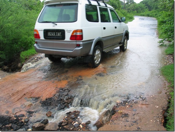
After breakfast on the covered patio by the pool, we set out towards Ramena, northwest of Diego, and here are some photos from the journey.  Here is our truck crossing the first of many road obstacles.

IMG_6312

We were supposed to go out here in a boat.  Obviously, that didn’t happen!

IMG_6318_edited-1

We made it through this obstacle…

IMG_6338_edited-1

This one we had to go around…

IMG_6339_edited-1

Flooded road.  We’re not having much luck here…

IMG_6342

What is with this road?

IMG_6346_edited-1

Here is our driver walking ahead to see if we can make it…

IMG_6349_edited-1

No, we weren’t going to make it.  Here is our chosen alternate route.

IMG_6351

We met this guy coming the other way, stopping to pull the forest off of his truck.

IMG_6355

As we continued, we found some of the previous guy’s window trim left on the trees.

IMG_6361_edited-1

Still trying to get around the blocked road by going this way…

IMG_6364_edited-1

No go.  Now we’ve given up trying to get to the next bay, and are heading back to Diego.

I managed to capture a few short video clips on the return of what this rainy drive is like, and just what these simple dirt roads become with a bit of rain.

Trying to decide which muddy bush route is the lesser of several evils?

Continuing to make our way out…

Going through puddle after puddle…

A bypass through a field around another flooded section…

Continuing to try to make our way out of the maze of mud…

Well, we came in this way, but I guess we’re not getting out this way…

IMG_6377_edited-1

We finally made our way back to the paved road…

Even the paved road has it’s rough bits…

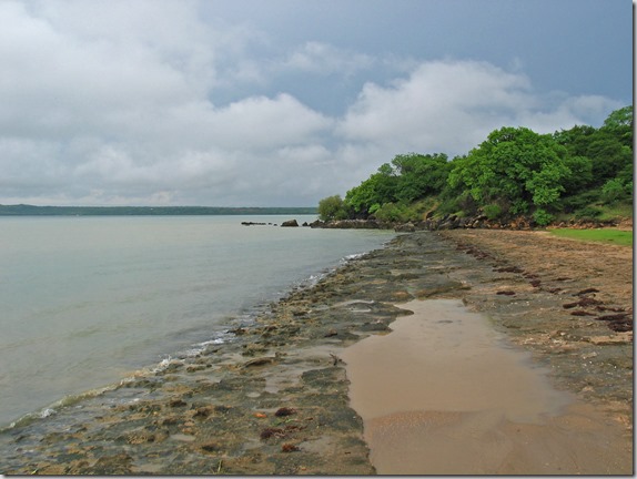
Here’s a volcanic rock beach we passed on the way back.

IMG_6388_edited-1

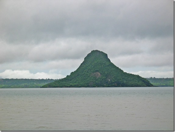
Pain de Sucre or Sugar Loaf…

IMG_6389_edited-1

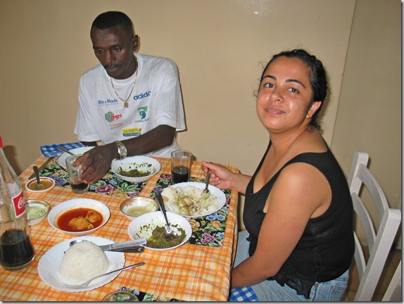
Before returning to the hotel, Nadine asked the driver if he could take us to an authentic Malagasy restaurant where she could eat some of the foods she remembered.  I didn’t want to take a chance eating anything, but Nadine said it was good.  Here is Nadine and our driver eating lunch.  I just drank the Coca-Cola.
IMG_6400_edited-1

Back at the hotel, we returned to the room to relax.  I finished updating the blog entries up to Dec 28 and uploaded them to the site.  (I won’t write this entry until January 3, and won’t upload it to the site until January 5 when I’m back in Tana and have an internet connection).

In the evening, we had a refreshing swim in the fabulous pool at the hotel before a late dinner.  Today wasn’t the trip we had originally planned, but we did have quite an adventure!

Day 12 – Ankarana

We awoke early in the morning to have breakfast and prepare for our excursion leaving at 7:30 AM.  The weather was looking good for our trip to the Ankarana Nature Reserve to see some wildlife and unusual land formations.  Our driver picked us up on time, and we set out for Ankarana, about 130 km south of Antsiranana.

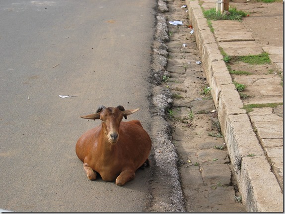
After stopping to pick up our picnic lunch, before leaving we had to steer around a goat that had decided to sit down in front of the car.

IMG_6087

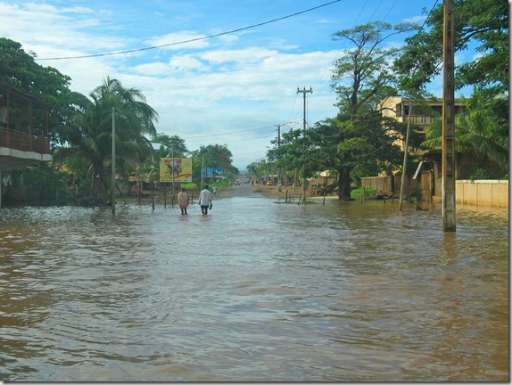
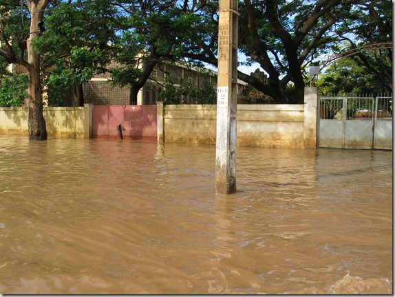
Continuing down the road, we again passed through some flooded streets in town that had still not been cleared from the cyclone a few days earlier.  We had to drive through the water pictured below.

IMG_6090

IMG_6091

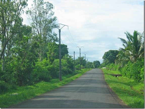
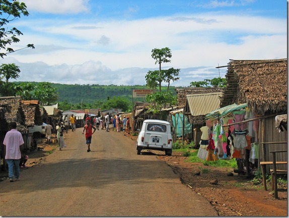
We then headed south out of town, along RN6.  I took photos along the way, and have posted a few of them below.

RN6 heading south out of Antsiranana…

IMG_6094

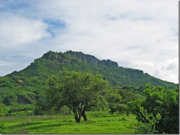
One of the many small mountains along the way…

IMG_6096

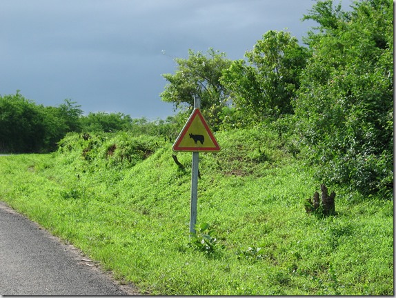
“Zebu crossing” sign…  We don’t have these back in Canada!

IMG_6097

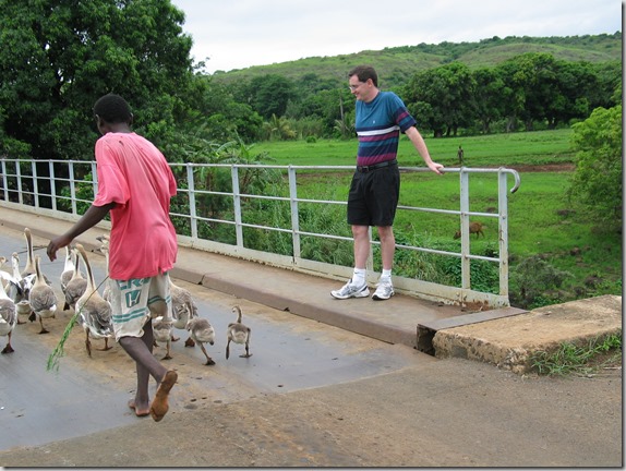
Herding geese?

IMG_6105

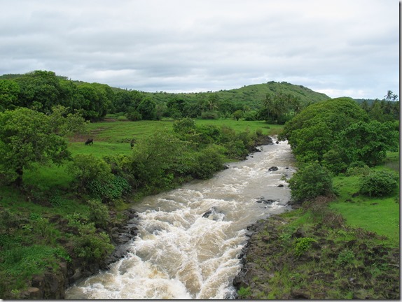
One of the many rivers we would cross, and there were a lot of them…

IMG_6109

IMG_6110

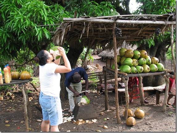
Eating and drinking fresh coconut at the side of the road…  It’s really good!

IMG_6118

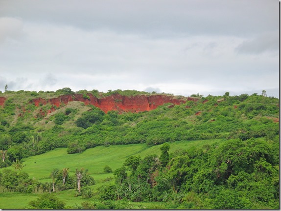
Red cliffs along the road…

IMG_6120

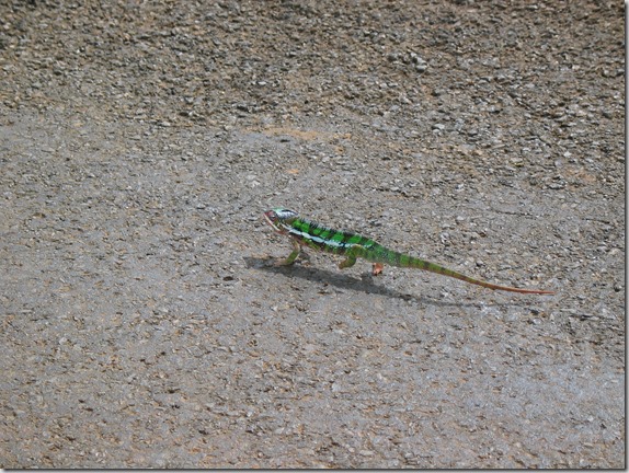
Chameleon we nearly squished on the road…

IMG_6123

Sapphire village along the way.  Apparently the area is rich with sapphires and every roadside stand is trading them…

IMG_6132

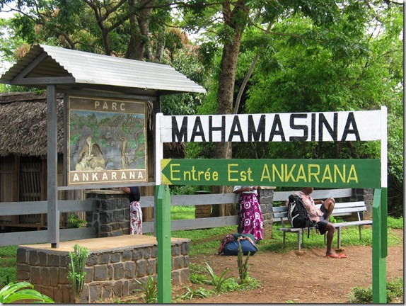
We arrived at Ankarana National Park where we met our park guide.  Guides are mandatory in the park, and for good reason–It would be very easy to get lost or hurt without one.  This nature reserve is very large, 18,255 ha, and many visitors here hike for 30 or 40 km while camping over several days.  We would only be hiking for a few hours.  Shown below is the park entrance.

IMG_6133

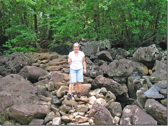
Our guide was very knowledgeable, and had studied botany in university in Madagascar, so he could tell us everything about nearly everything we saw here.  Fortunately, our guide was also the only guide around who spoke English, as well as French and Malagasy.  Here are some photos of our journey through the reserve.

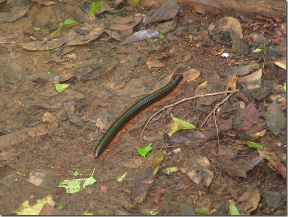
A millipede moving along the ground…

IMG_6145

Moving over some loose rocks…

IMG_6151

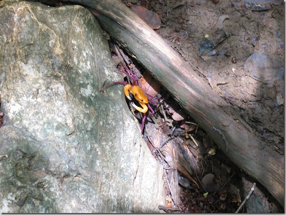
An orange crab with purple legs…

IMG_6154

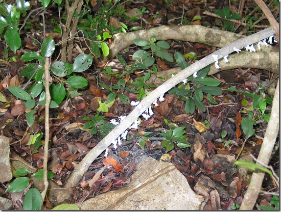
The white things that look like flowers are actually insects…

IMG_6155

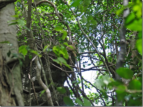
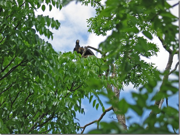
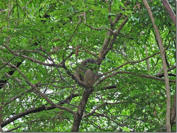
Look very close to see the lemur in the tree, centre of photo.  This is one of ten species of lemurs found in the park, and we would see four of them before the day is over.

IMG_6157

Parrots in the trees…

IMG_6163

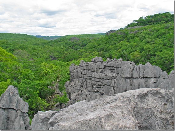
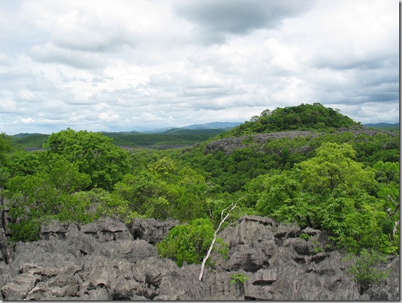
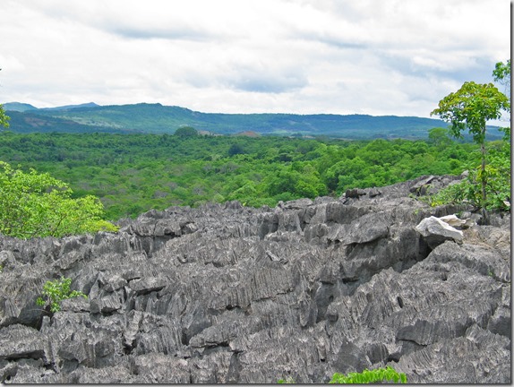
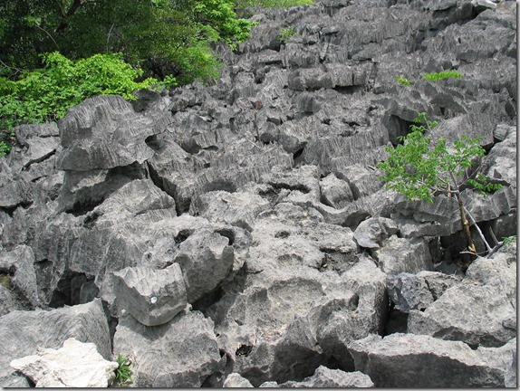
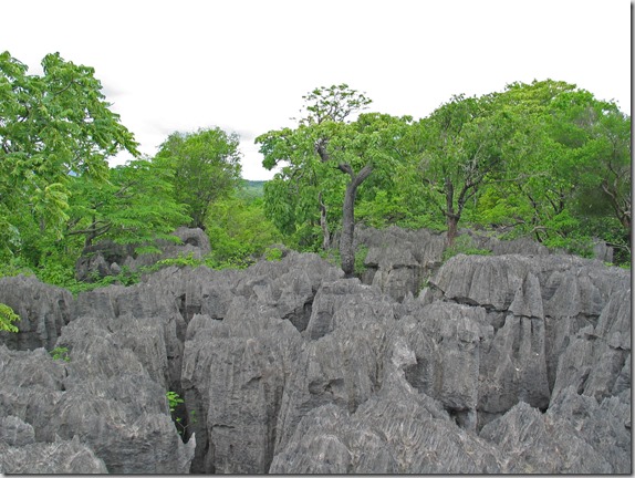
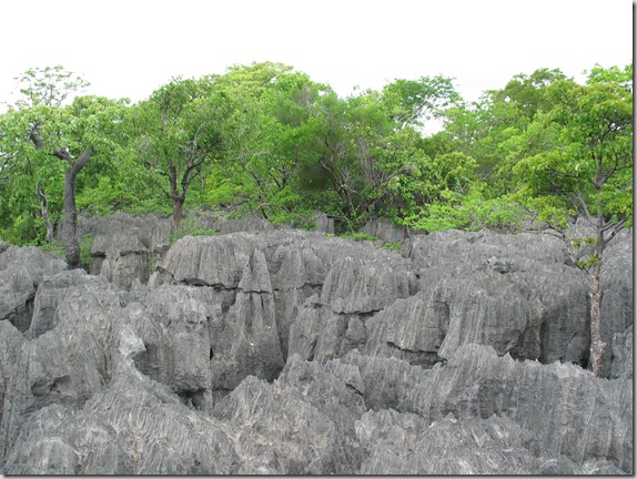
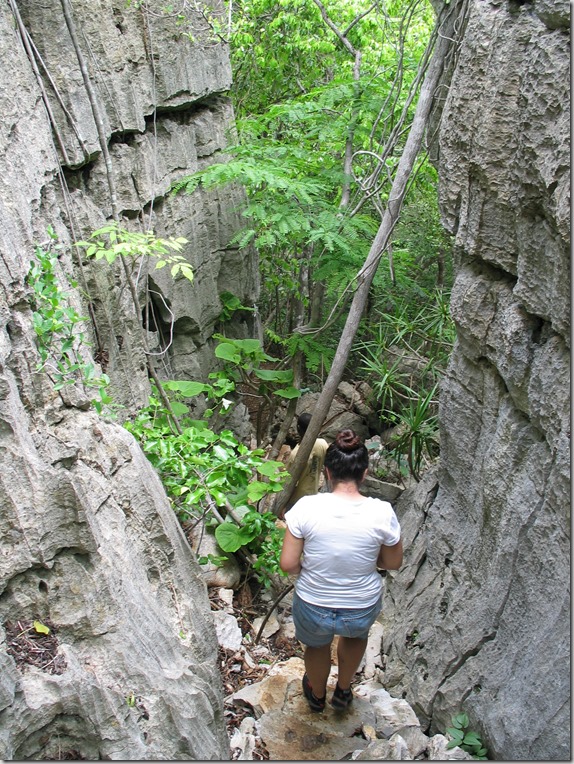
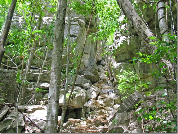
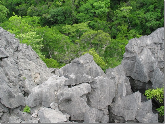
After hiking a bit through the forest, we would now climb up to see the Tsingy, which is a very unusual rock formation.  These a sharp spiny rock formations, and I’m sure it would hurt like hell if you fell on them.  Here we are starting to climb up.

IMG_6156

On top of the Tsingy…

IMG_6172

IMG_6175

IMG_6176

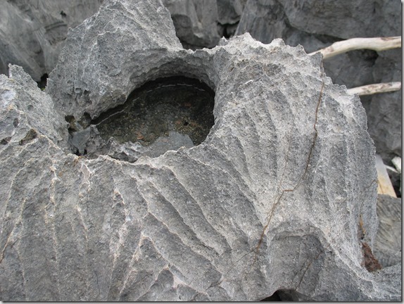
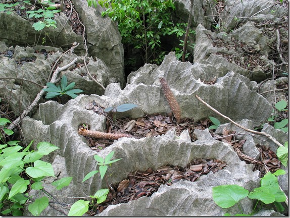
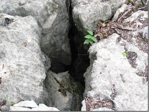
Tsingy close up with water pooled inside…

IMG_6180

IMG_6182

IMG_6184

IMG_6185

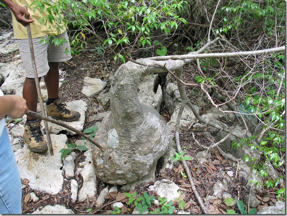
Very unusual tree that keeps water inside this bulge…

IMG_6188

More Tsingy close up…

IMG_6189

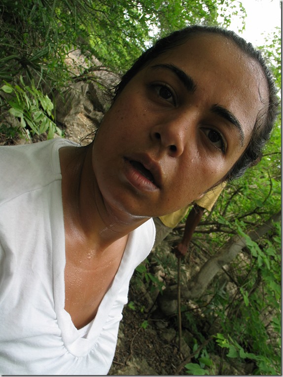
Holy shit it’s hot here!

IMG_6190

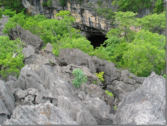
Watch your step, it’s a long way down…

IMG_6192

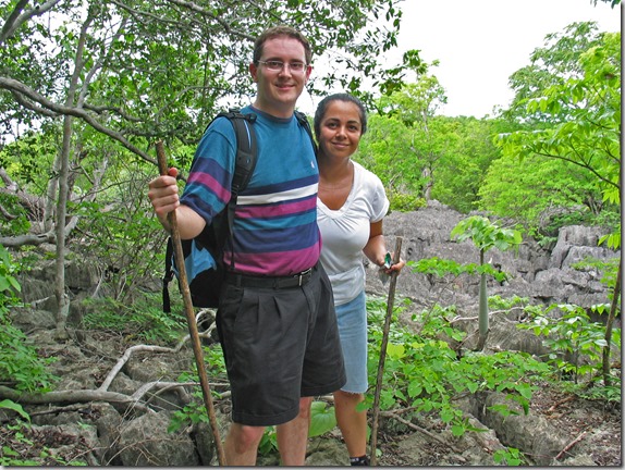
Dave and Nadine on top of the Tsingy…

IMG_6193

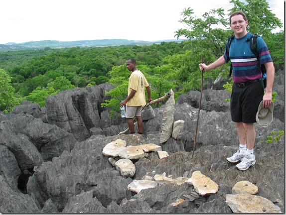
Dave walking very carefully on the Tsingy with our guide in the background.
IMG_6204

More Tsingy.  These rocks are damn sharp.
IMG_6205

IMG_6206

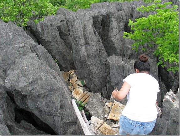
Climbing back down.  Fat people would have considerable difficulty.

IMG_6207

Still climbing down…

IMG_6208

And we’re still climbing down…

IMG_6211

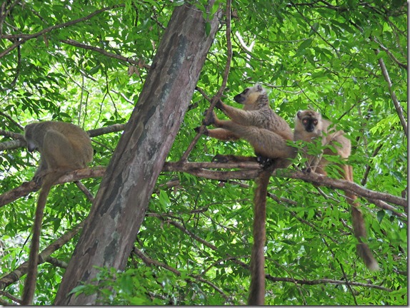
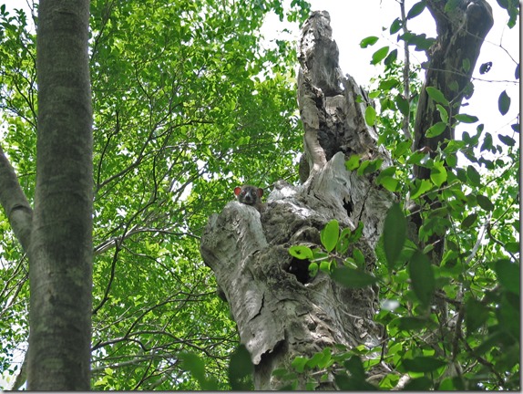
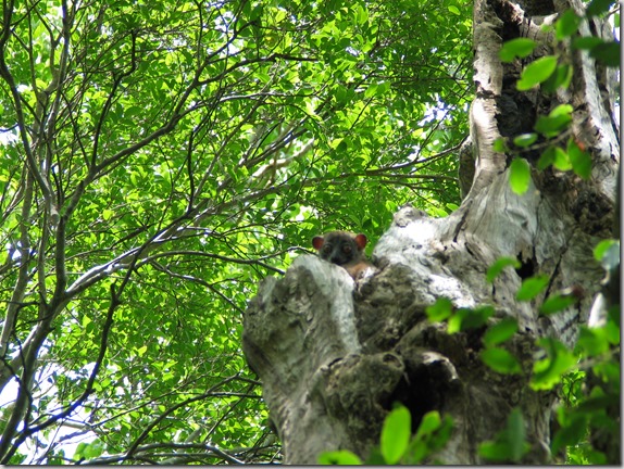
A few lemurs in the trees…

IMG_6215

More lemurs…

IMG_6218

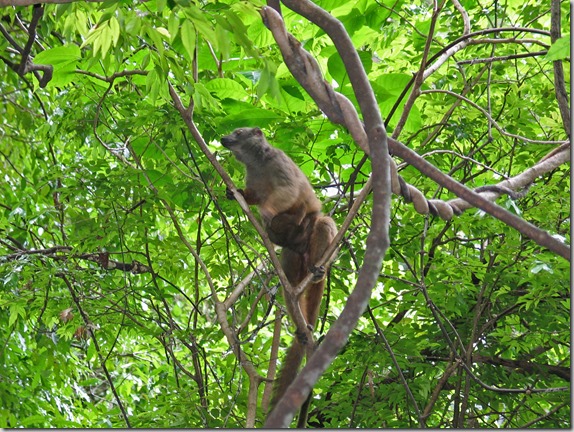
Another lemur…

IMG_6219

Below are a couple of short video climbs of the lemurs in the trees.

After a quick break watching the lemurs, it’s back to climbing down toward the bat cave.

IMG_6222

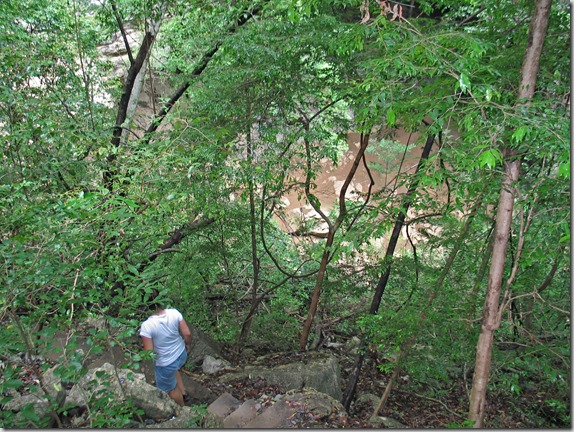
Holy crap!  Are we going to have to climb back up again?

IMG_6224

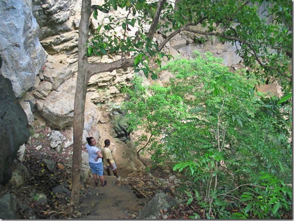
IMG_6225

OK.  I think we’ve finally made it to the bottom!

IMG_6226

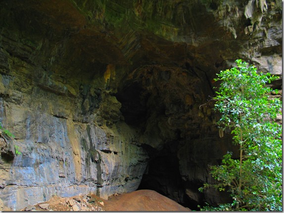
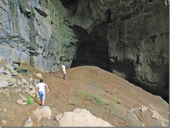
At the entrance to the bat cave…

IMG_6228

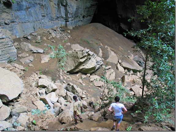
We entered the bat cave, but didn’t go very far.  It was really muddy in there.  Supposedly it goes on for about 4 km and there is an exit at the other end.  Our guide also said that the river in the bottom sometimes rises by many metres to the point where everything you see in the picture above is all under water.

IMG_6232

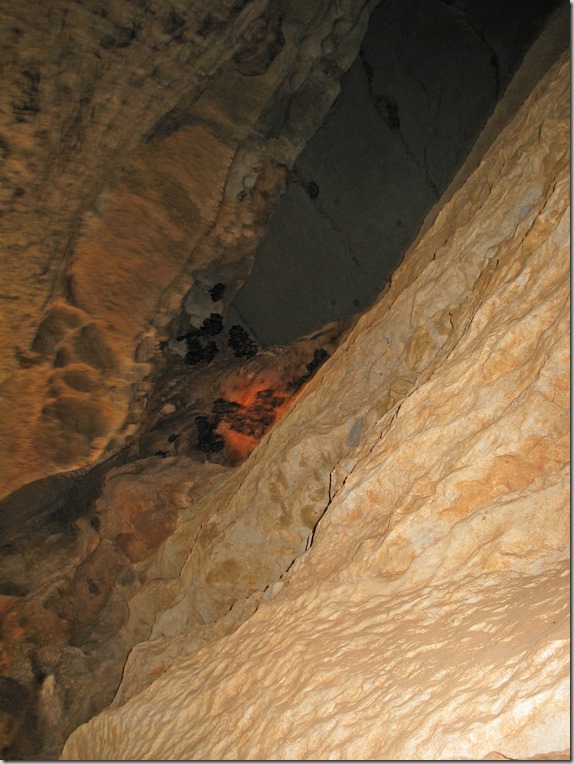
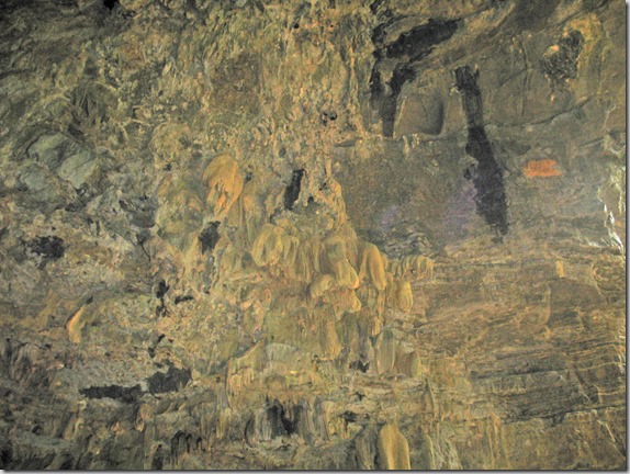
Inside the bat cave…

IMG_6235

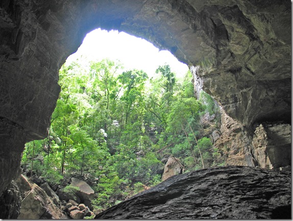
Coming back out of the bat cave…

IMG_6233

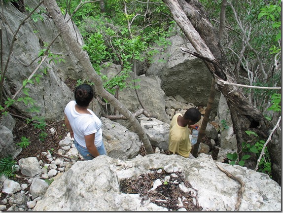
We then began the dreaded climb back up.  It was very steep and incredibly tiring, and the heat and humidity didn’t help.

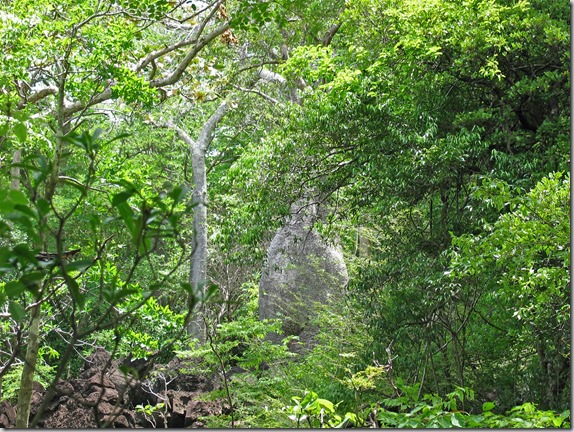
Here is a baobab tree in the forest.  There are about 7 types of baobab trees in Madagascar.  We saw 3 of them in the Morondava area.  There are a few other types in this area.

IMG_6243

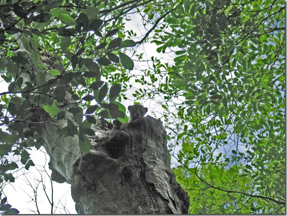
Lemur peeking down at us from the tree…

IMG_6248

IMG_6250

IMG_6253

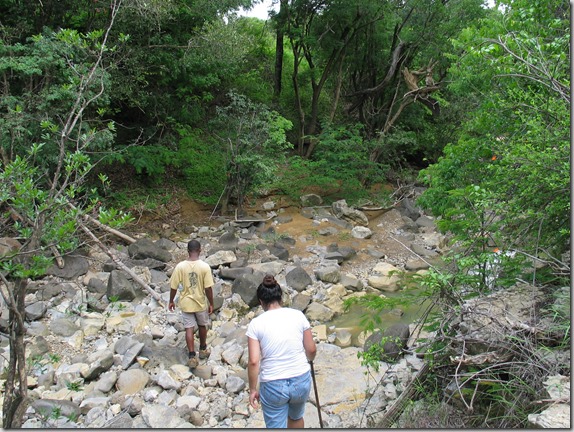
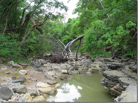
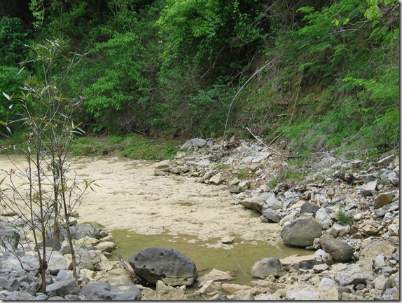
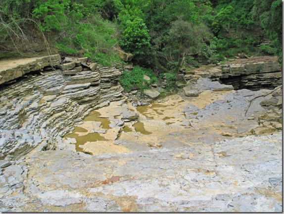
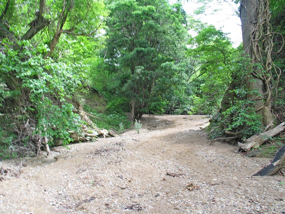
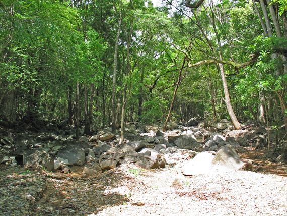
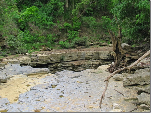
We then walked to an area where you see the convergence of 3 rivers.  Actually, the rainy season has started yet, so we only saw the river beds, but I’m told that if we were to come back in a month or two, there would be a lot of water moving through.

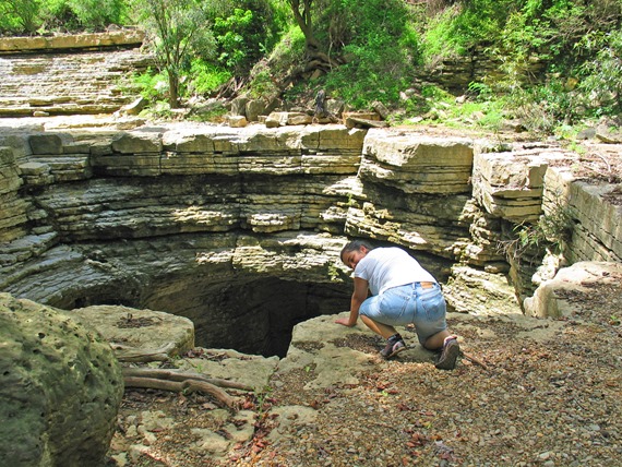
The interesting thing here is that all three rivers come from different directions and converge in one spot, but there isn’t a fourth stream as an outlet for the rivers.  In fact, the 3 rivers all empty into an underground river that then flows for 20 km underground into the Mozambique Channel.

IMG_6266

Following one of the rivers…

IMG_6267

IMG_6272

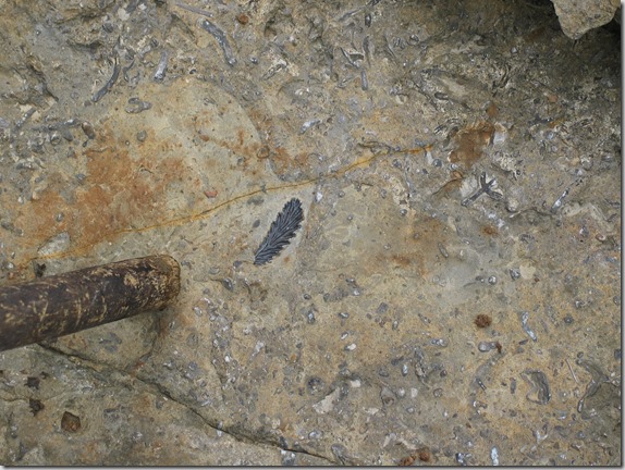
Fossil in the riverbed…

IMG_6275

One of the 3 rivers approaching the big hole…

IMG_6273

The second of the 3 rivers…

IMG_6279

The third of the 3 rivers…

IMG_6287

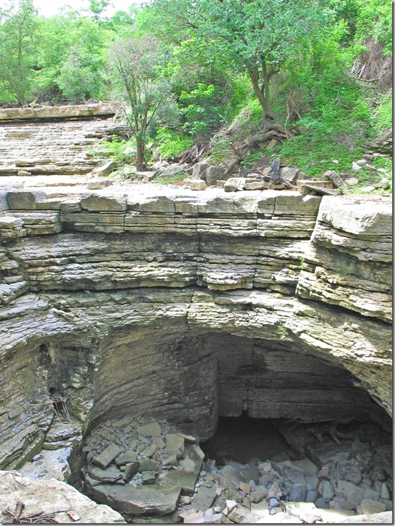
Approaching the big hole…

IMG_6276

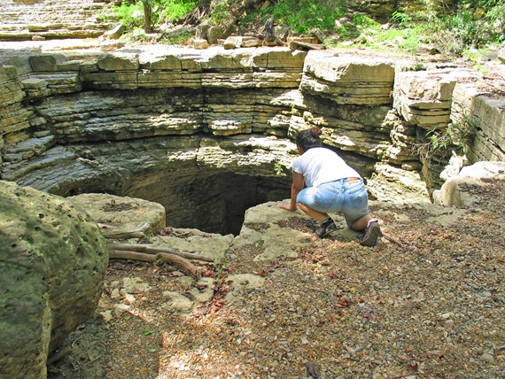
Nadine peeking over the edge…

IMG_6283

IMG_6284

IMG_6285

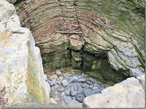
Looking down the hole…

IMG_6278

Notice the entrance to the underground river at the bottom of the hole…

IMG_6280

We then walked up one of the rivers and headed for the park exit to have some lunch.

IMG_6289

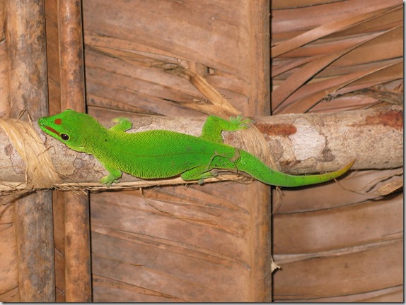
Here is a gecko who joined us for lunch…

IMG_6300

After lunch, we headed back to Antsiranana.  I think we slept most of the way, so I didn’t take many photos on the return trip.  We then had some ice cream at the hotel bakery and spent the evening relaxing at the hotel.