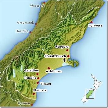
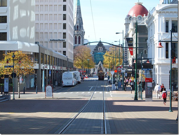
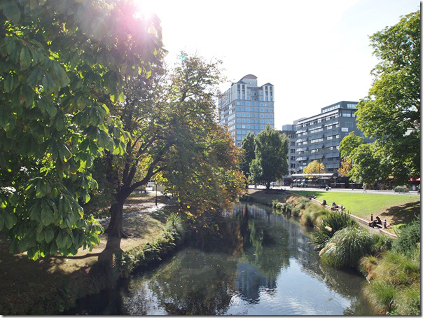
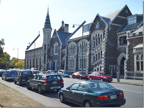
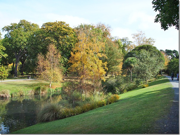
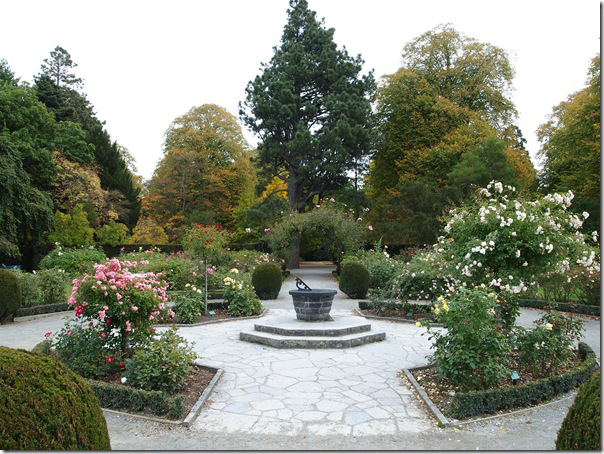
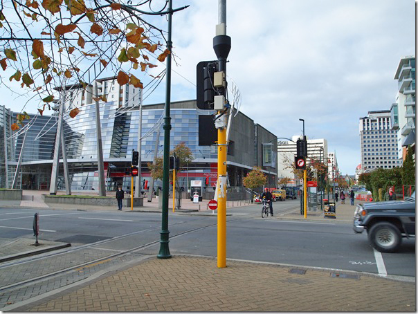
With nothing specific planned for our stay in Christchurch, our plan today was to basically wander around the city. With a population of about 400,000, Christchurch is the largest city on the South Island of New Zealand.
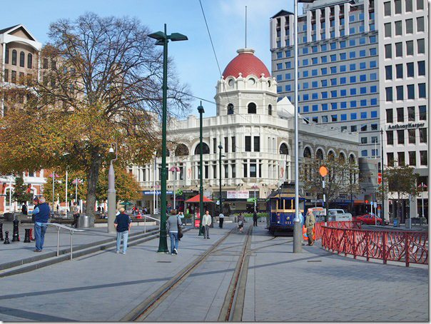
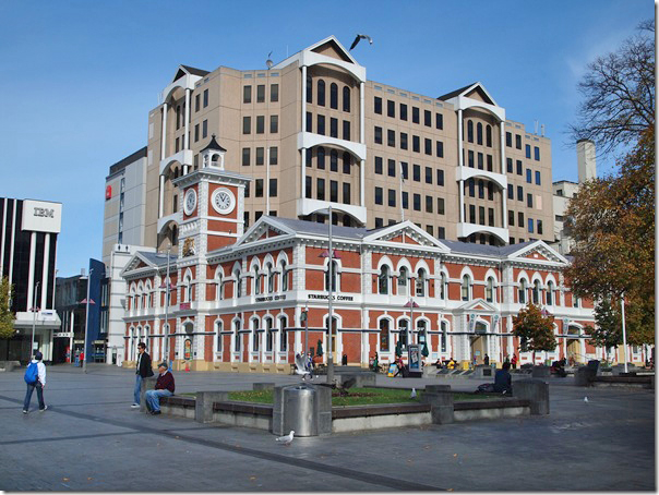
We walked down to Cathedral Square in the city centre, found the i-site to pick up some touring maps, and began our day of leisurely wandering and shopping.
Christchurch is a lovely city. We had a wonderful day of exploring, and in the evening we enjoyed the best dinner of our trip so far.
UPDATED: A video of the Kea has been added to this post
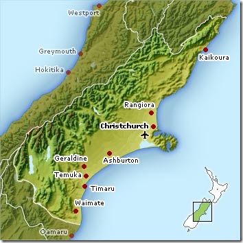
After finishing our helicopter flight, we had lunch and began the drive to Christchurch. The drive is just under 400km, and would take us about six hours including breaks and photo stops.
The drive continues up the west coast of to the Hokitika area, at which point we turn east through the mountains, wind our way across Arthur’s Pass, and eventually into Christchurch on the east coast.
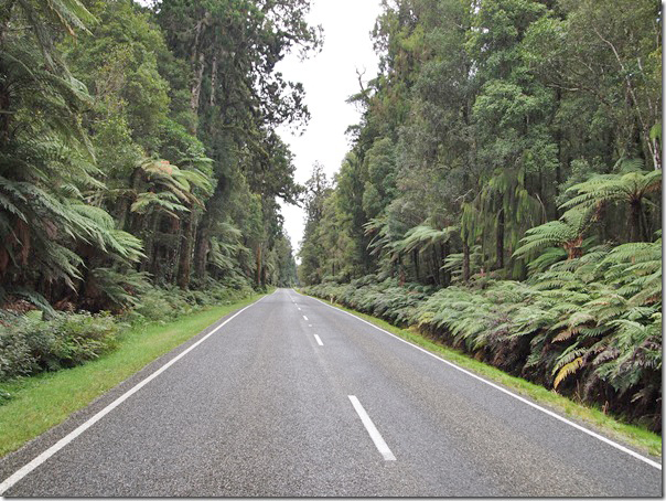
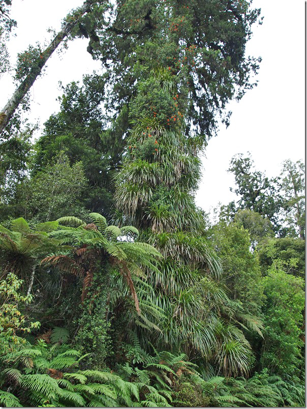
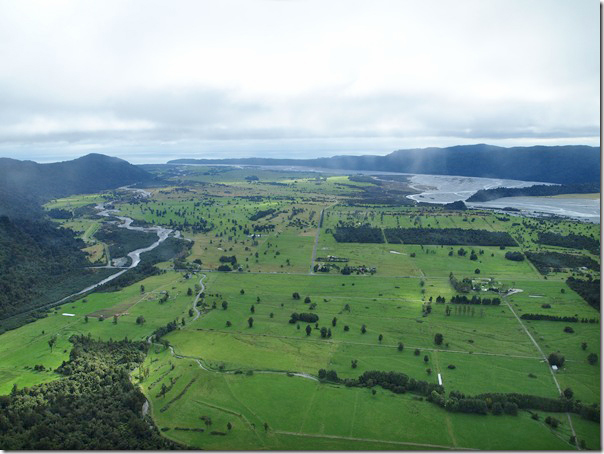
Driving up the west coast, we’re still in the rainforest, and the vegetation is very green and lush.
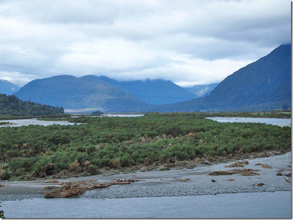
Beginning the drive east into the mountains, the cloud cover continued, with some breaks of clear sky.
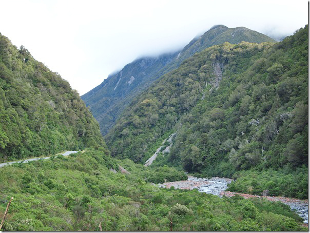
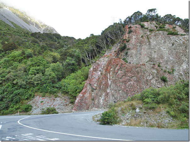
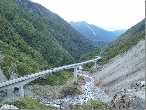
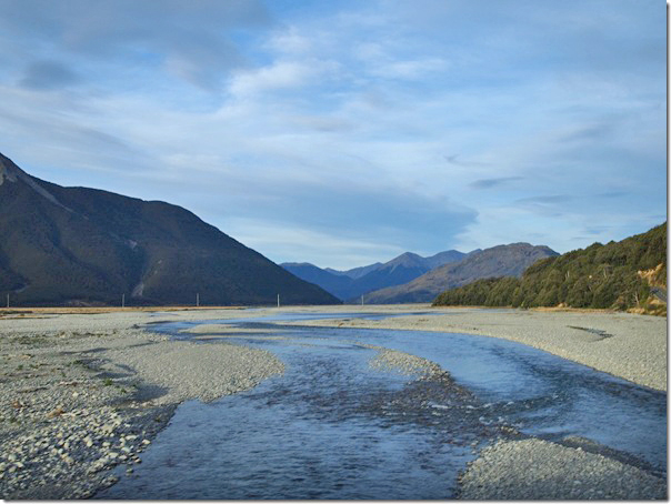
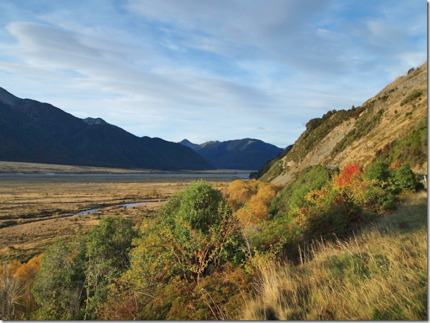
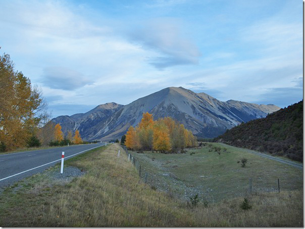
The drive across the mountains was stunning.
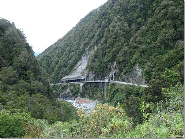
Driving through the Otira Gorge.
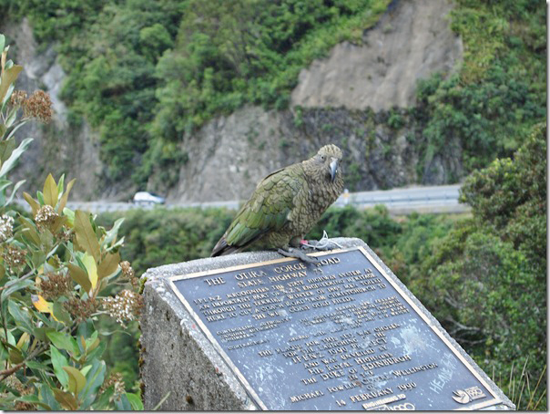
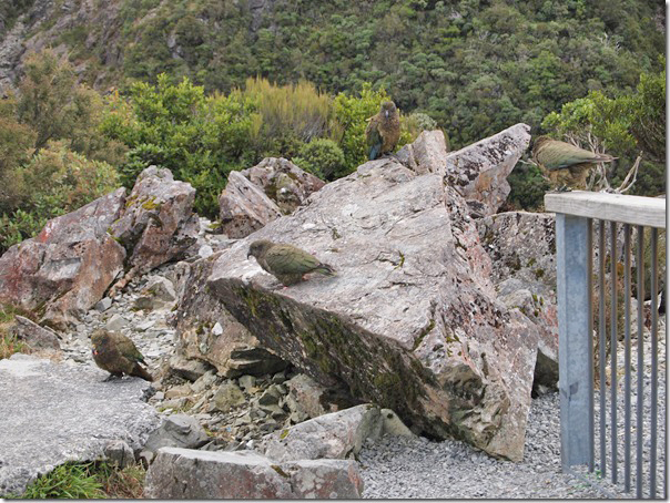
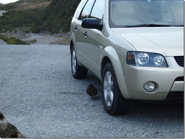
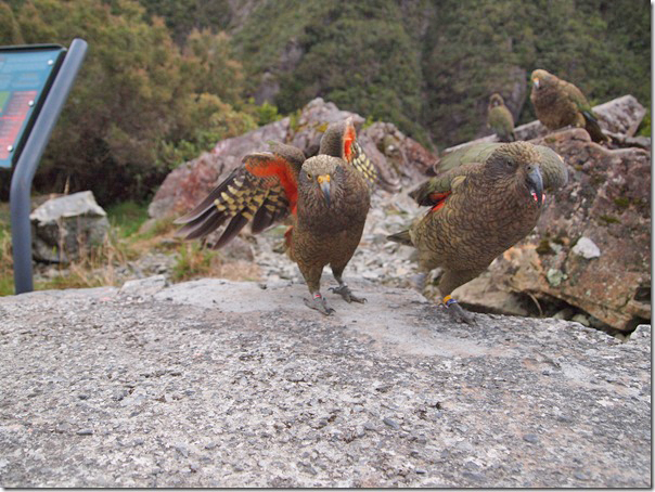
At every photo stop through this area, we had to contend with the Kea, which is the alpine parrot native to this part of the South Island. They are said to be the world’s smartest bird. They can be a pain, because you cannot leave your vehicle unattended, or they will literally eat it. As you’re dealing with one Kea, it’s friends will be behind your back eating the rubber trim off of your windows and windshield wipers!
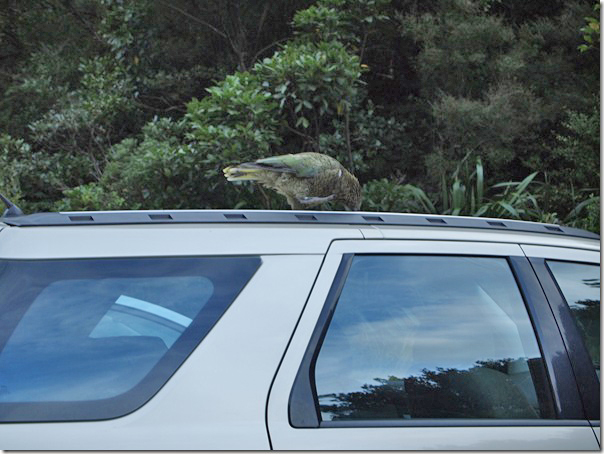
Here is a Kea trying to eat our roof rack after I finished getting him away from the radio antenna.
After we got in the car to get back on the road, we had difficulty getting rid of one of the Kea. Here’s a short video of the event.
At this particular stop, we had to contend with about eight birds. They make it difficult to take photos of the scenery, because you really can’t turn your back for long.
Here’s the little bugger that was attacking my tire while I tried to photograph the viaduct below!
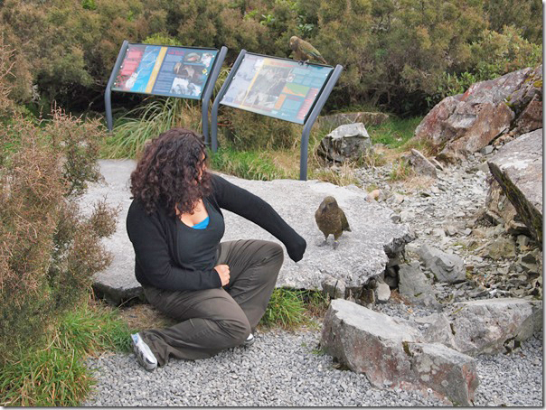
Nadine with her new friend!
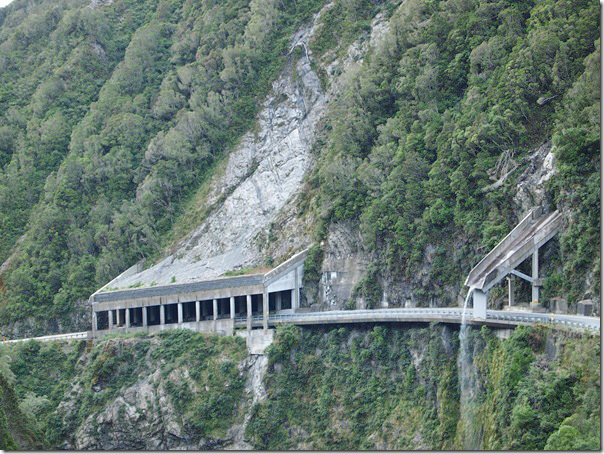
And this is what we really stopped to photograph in the first place. Before this viaduct was built, the road used to wind its way through this gorge.
Once through Arthur’s Pass and on the other side of the mountains, the skies started to clear a bit, but it was getting dark, so we didn’t take too many more photos.
Today was a full day, and we actually took over 600 photos and video clips! To make it easier to sort through the photos and prepare the daily report, we’re splitting the report for today into two entries.
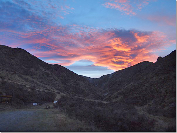
The weather forecast for today was not good, but when I stepped out of the room this morning, the photo below is what I saw!
It wasn’t a completely clear day, but I was encouraged that we might still get up on the glacier by helicopter. We checked out of the motel, and headed off to the helicopter operator to see if things were a go for this morning.
Clouds were starting to roll in, but reports were coming back from the pilots that even though there were some visible clouds from the ground, they were thin clouds, and that it was bright and sunny at the top of the mountains. Therefore, at the end of our time on the west coast, we were finally going up in the helicopter! This was definitely worth delaying our drive to Christchurch.
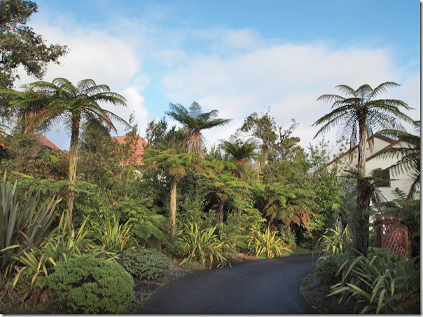
We walked across the street and through a little tunnel of trees, and we were at the heliport.
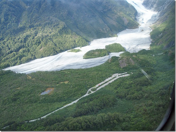
Below is a view of the lot we parked the car yesterday and the trek we made out to the base of the glacier.
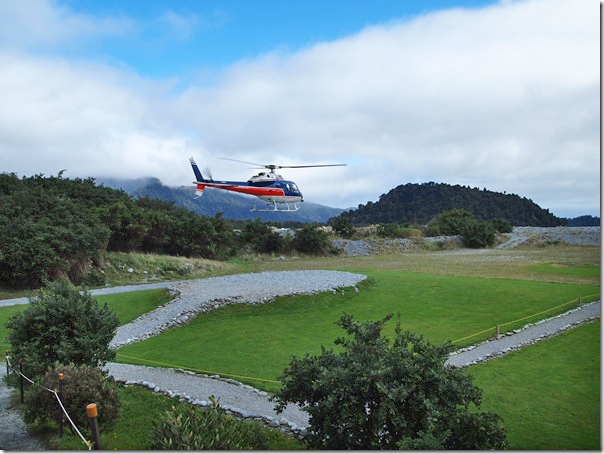
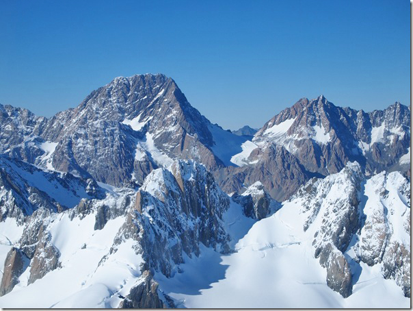
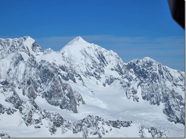
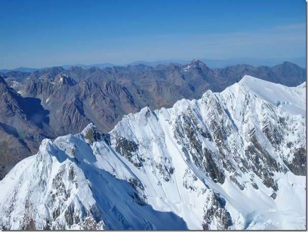
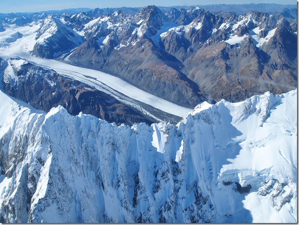
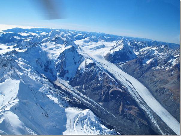
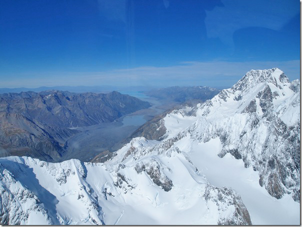
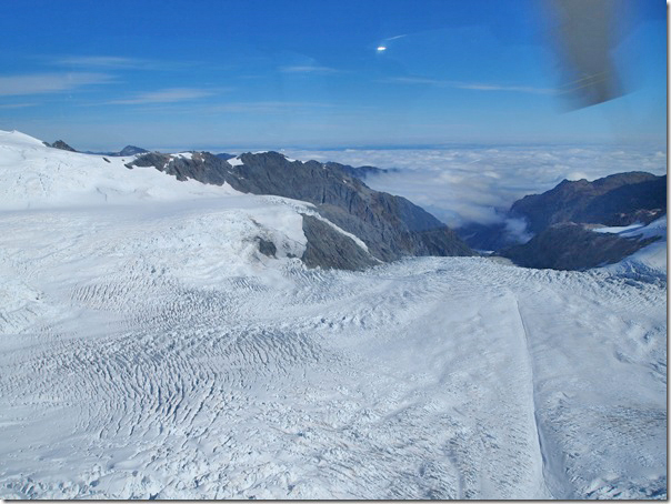
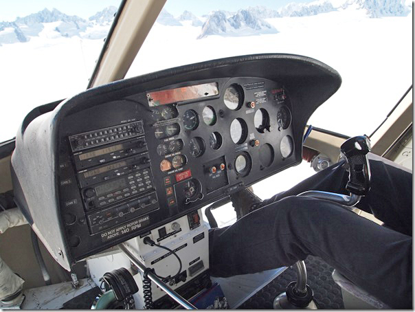
Out trip today would be nearly an hour in the helicopter, and would take us around the Franz Josef glacier, which is the largest in the area. We would also see the Tasman glacier, which is the longest glacier in New Zealand. We would fly around Mount Cook and the surrounding area, the highest peak in New Zealand. We would also land on the top of the Fox glacier to take a look around before returning to Franz Josef.
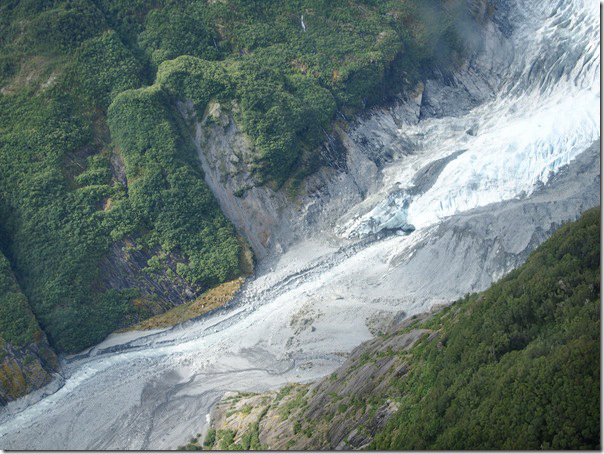
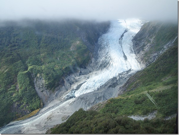
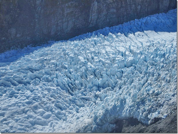
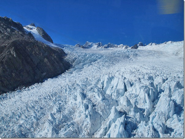
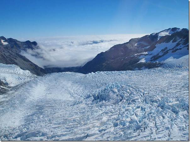
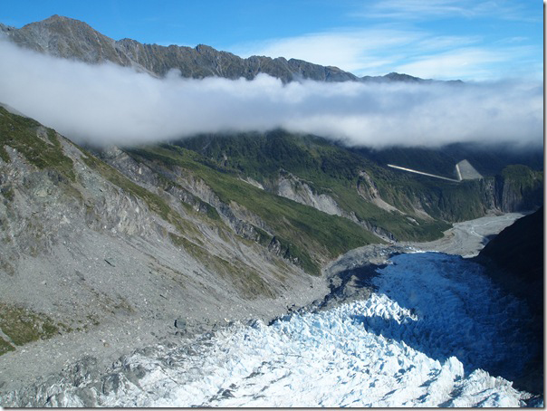
The first group of photos is of the Franz Josef glacier.
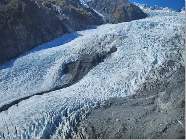
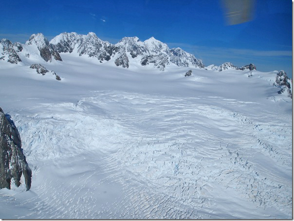
The following photos are of the Mount Cook and Tasman glacier area.
You can see the Tasman glacier in the photos below.
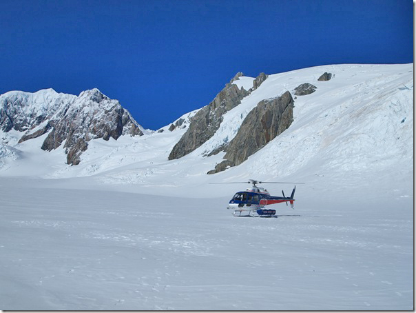
Here we are about to land on the Fox glacier.
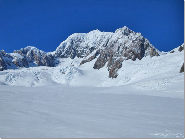
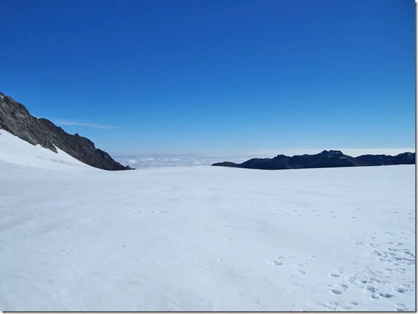
The following photos are taken while walking around on the Fox glacier.
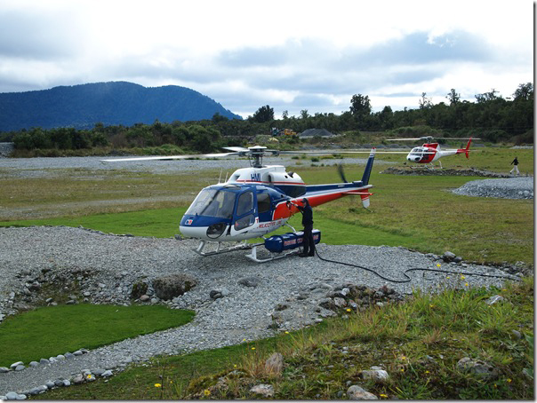
Here’s our transportation.
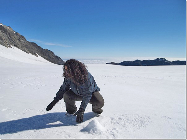
This is Nadine attempting to build a snowman at the top of the glacier. However, the surface is mainly ice and not soft snow, so the build is not going well!
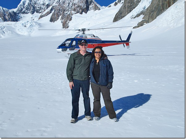
And here we are on the glacier before getting back in the helicopter for the return trip.
Climbing back in the helicopter for the flight back down…