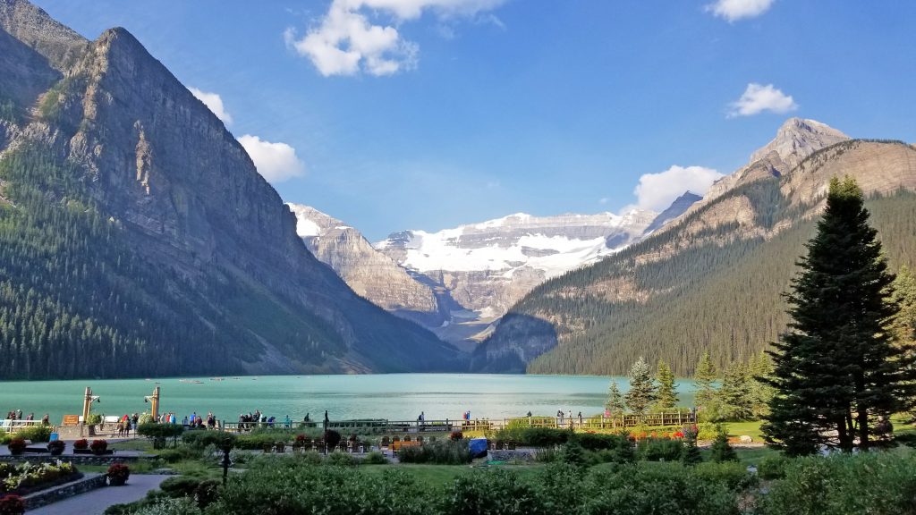
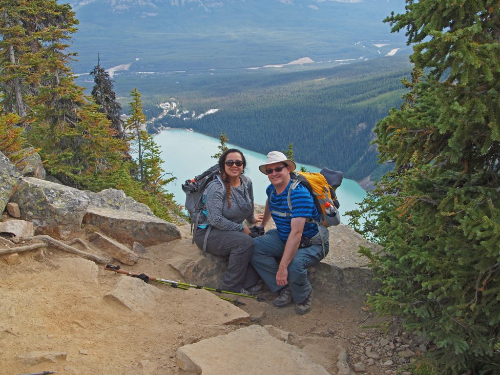
We had planned to have a full day of hiking, and maybe go to the two teahouses and the Big Beehive again. Unfortunately, we were a couple hours later getting started than we planned, but we’ll still see where we can get to.
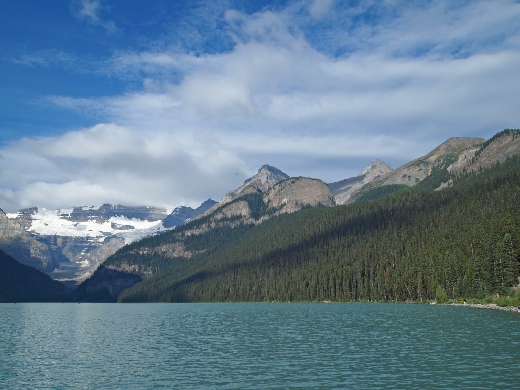
Heading up the familiar trail toward Lake Agnes, I was reminded of just how popular this trail is. What a change from the hiking at Lake O’Hara, where you practically have the entire trail to yourself.
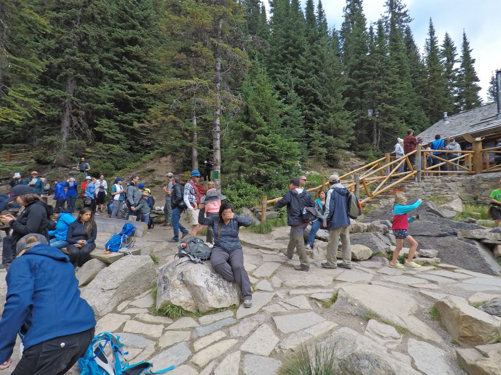
We arrived at Mirror Lake, and as expected, found crowds of people milling about. Starting at an elevation of 1,750 meters (5,740 feet) at Lake Louise, we are now at 2,015 meters (6,610 feet) at Mirror Lake. That means we’ve ascended 870 feet, almost as much as our entire hike up to Opabin Lake, yet here at Mirror Lake, we’re still in the trees! We were really spoiled at Lake O’Hara, getting to start the hike from a much higher elevation.
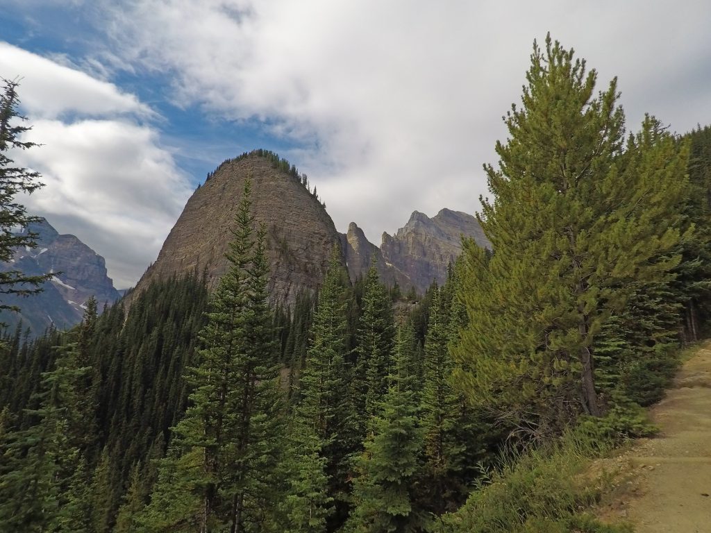
Continuing up the familiar trail toward Lake Agnes, we started to get the occasional view.
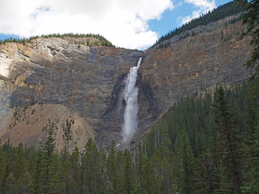
Arriving at the staircase just below the Lake Agnes Teahouse, we stop to admire the waterfall.
Now at Lake Agnes, we’re at an elevation of 2,120 meters (6,955 feet), or 1,215 feet above Lake Louise. We love Lake Agnes, as seen in the photo below.
Unfortunately, we don’t like Lake Agnes, as seen in this photo. We rested for a bit, but not too long. Fortunately, this is where most of the crowds stop and turn back.
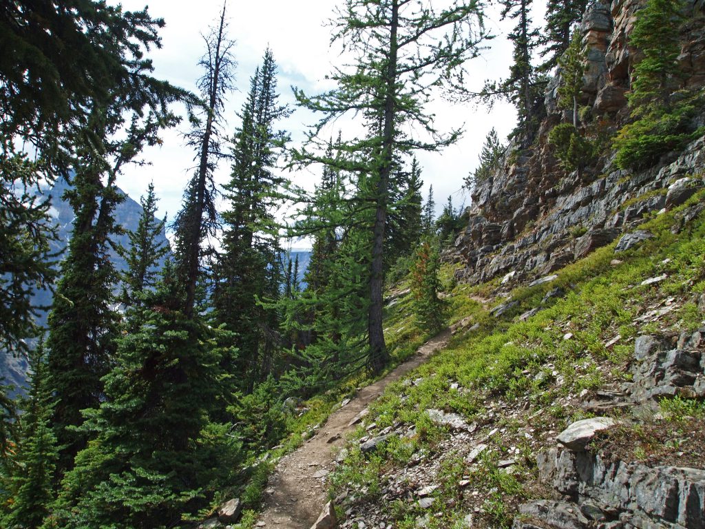
We continued around the back of Lake Agnes. This is where the hike starts to get nice, as we’ll be out of the trees for a bit.
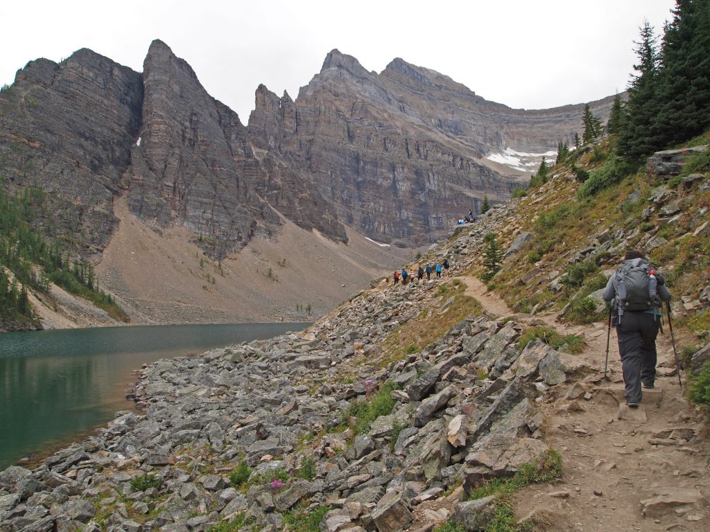
Here we are at the back of Lake Agnes.
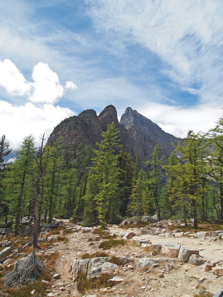
And from the same spot, but turned around looking at Mount Whyte.
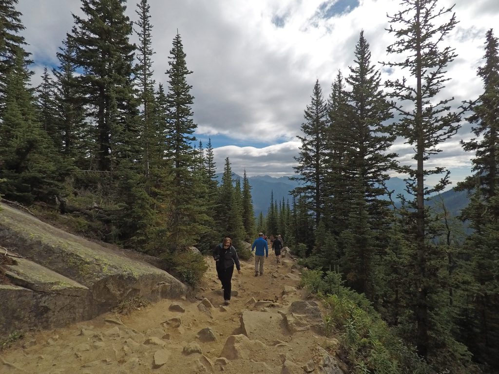
We started climbing up the switchbacks to the Big Beehive. While steep, I find this to be a very scenic section, with views to the lake through the thinning trees most of the way up.
This is much easier than the last time we did this hike, when there was about 2 feet of snow on the switchbacks!
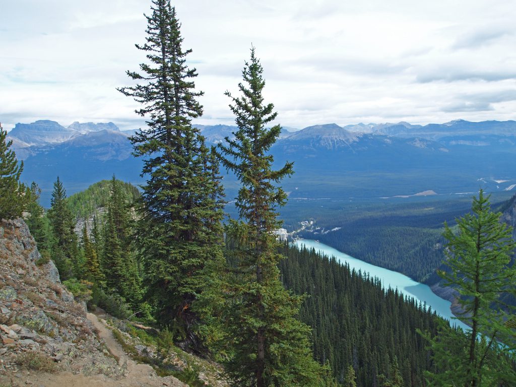
And now we’re arriving at the top. At this point, we are now at 2,250 meters (7,381 feet), or 1,641 feet above Lake Louise.
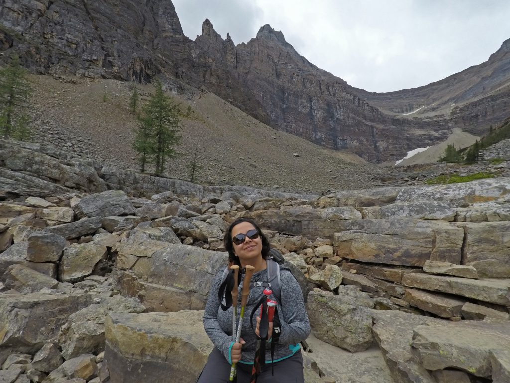
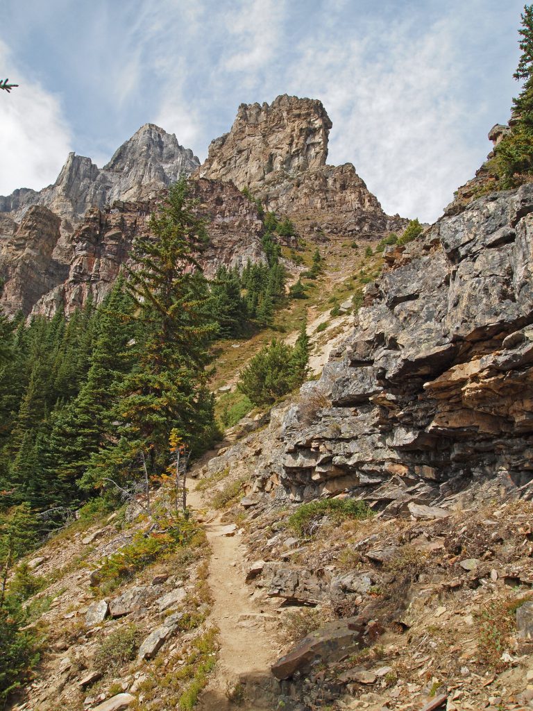
Instead of heading down the Beehive, we thought we’d head up toward the Devil’s Thumb, since we’re so close. Therefore, instead of turning left on top of the Beehive, we turned right.
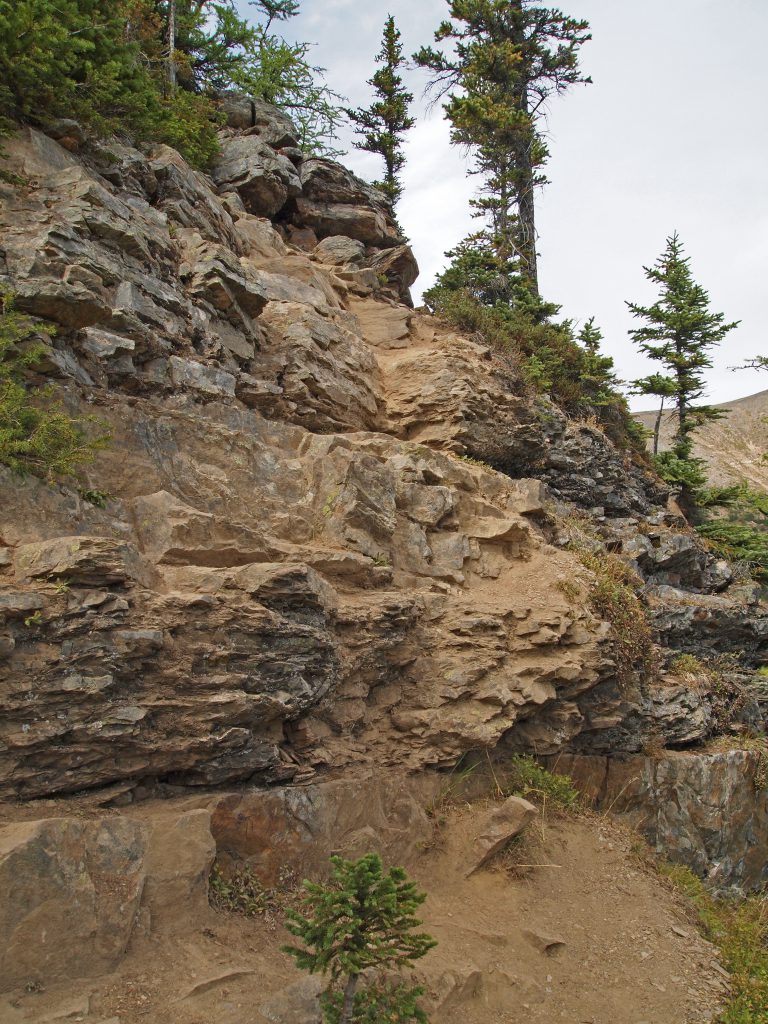
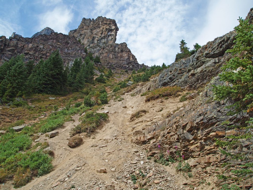
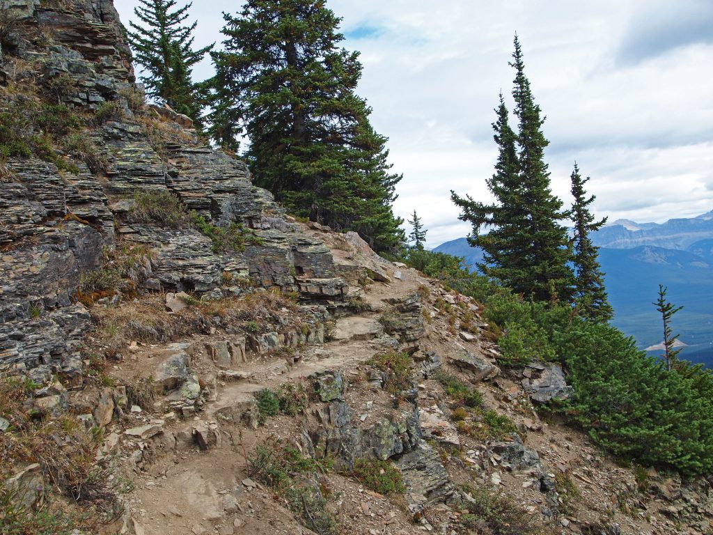
We followed the trail and eventually came to this little section of rock to scramble up, before getting to the next section of trail.
Although this section was only about 30 feet of rock to climb, Nadine wasn’t feeling up to climbing itp. So, I went up on my own from here while Nadine hung back. I figured it was probably about another 60 minutes to get across the traverse and up the thumb, which is too long to just leave Nadine sitting on her own, so I decided to only go as far as the end of the traverse before the final ascent. That little stretch is only about 1 km round trip, and should provide some excellent views.
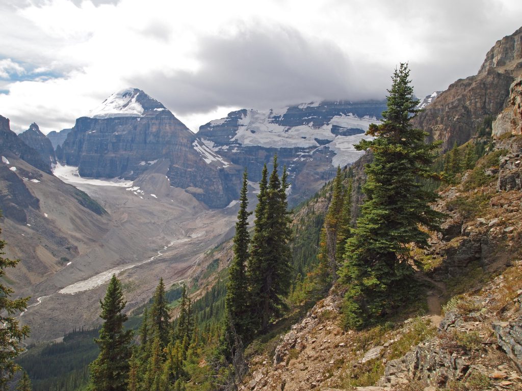
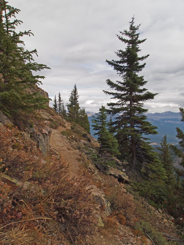
The trail started out through thinning trees.
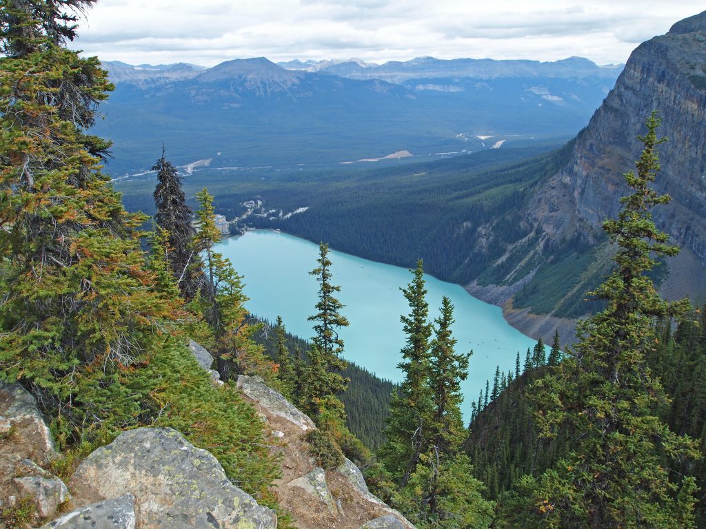
Looking behind me on the trail provided a nice view to Lake Louise.
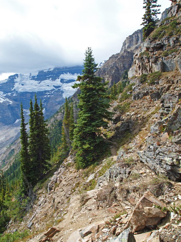
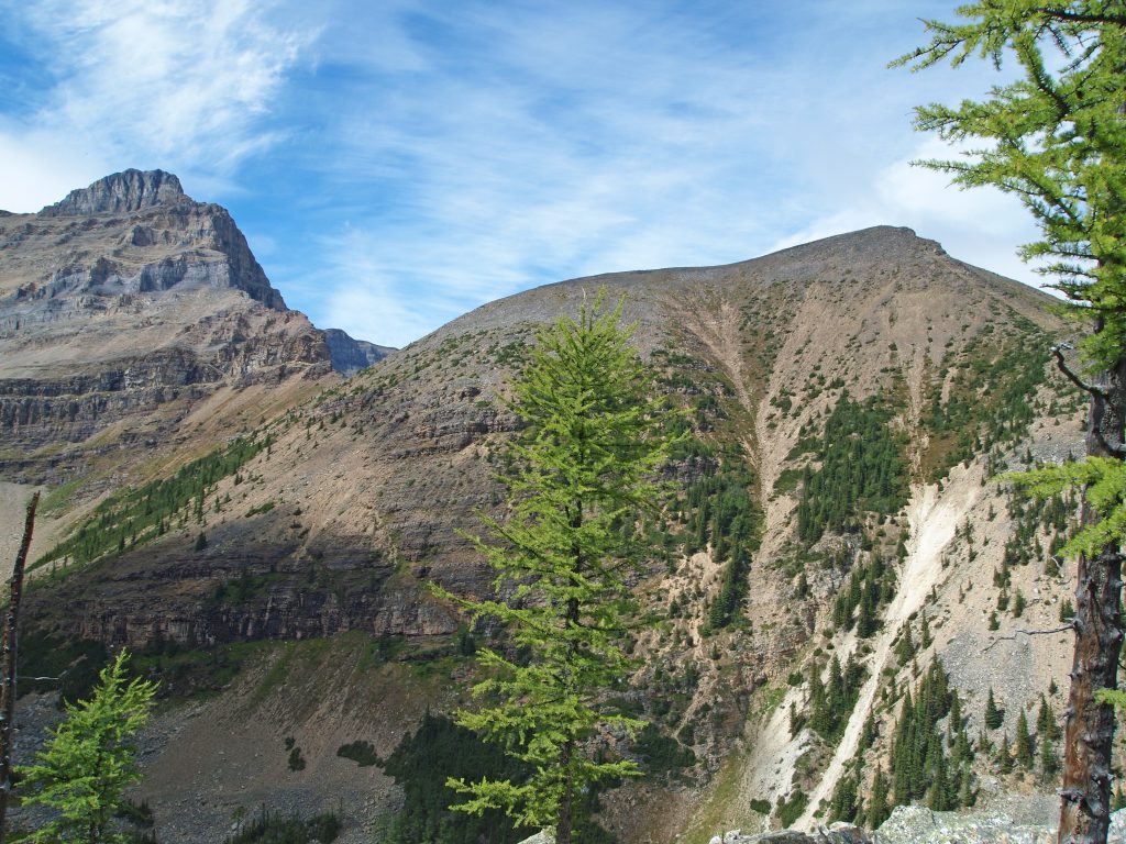
The trees started to thin some more and the views started to open up.
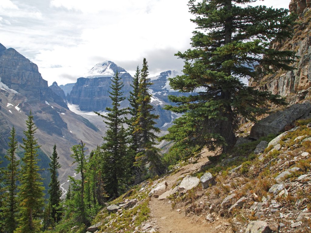
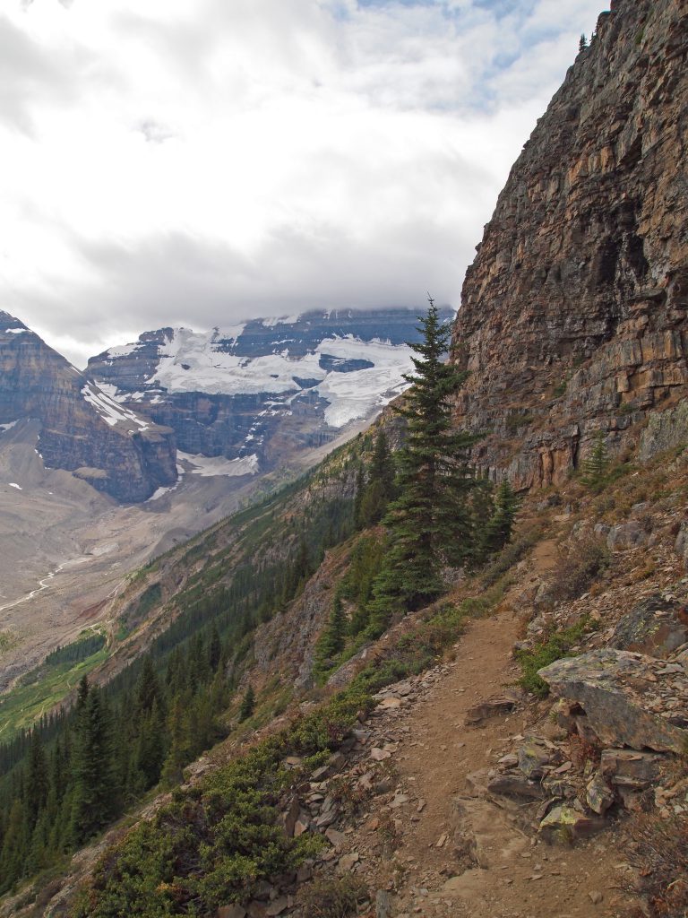
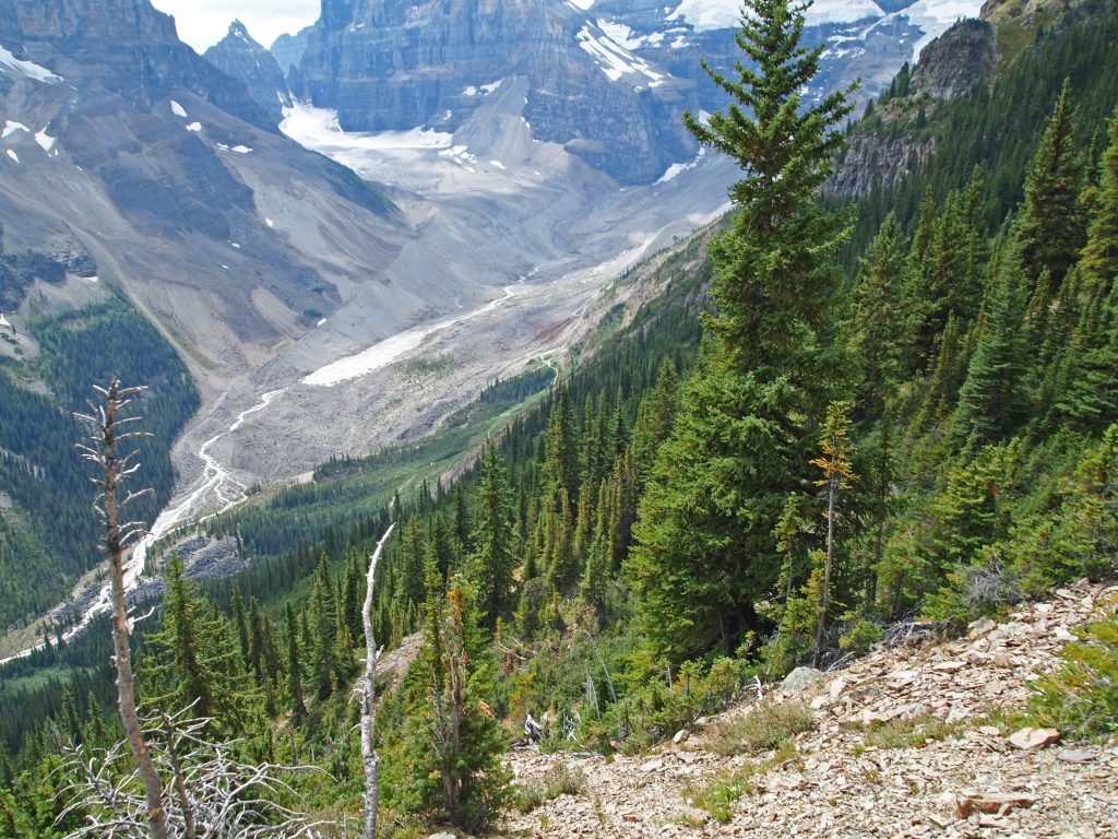
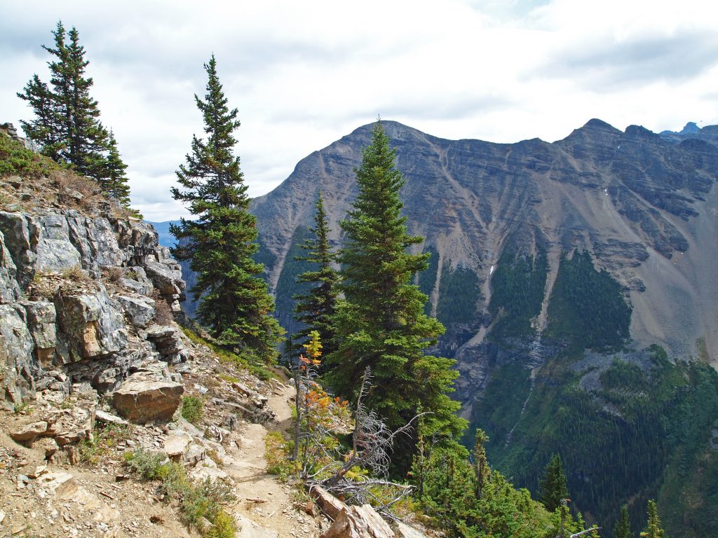
The trail continued along, clinging to the side of the slope, offering great views all around.
The trail is starting to curve around to the right and up toward the final push up. Mount Whyte towers over in the background.
You probably wouldn’t want to lose your footing here! This is looking down right below me.
By now, Nadine is probably wondering where I am, so it’s probably time to head back, as much as I am tempted to continue. Below is a video from this spot, which is also the highest elevation I would reach today, at 2,322 meters (7,618 feet), or 1,878 feet above Lake Louise.
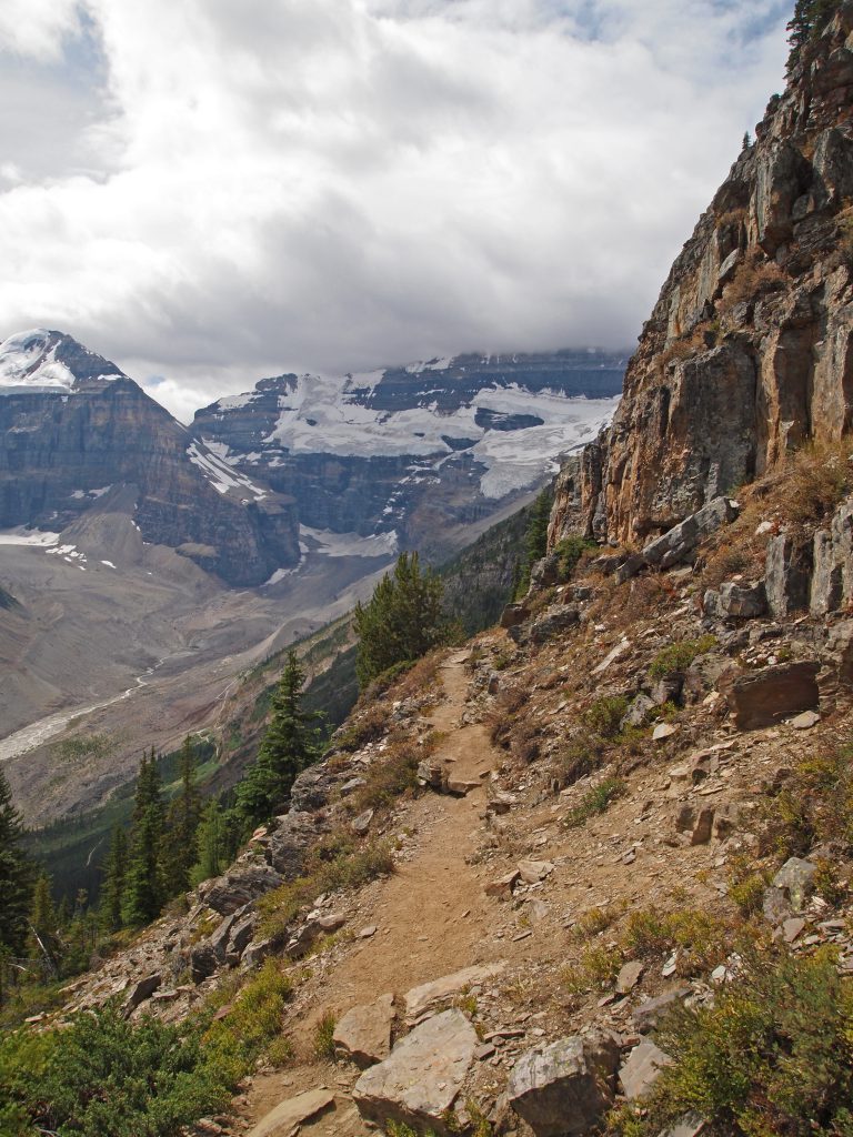
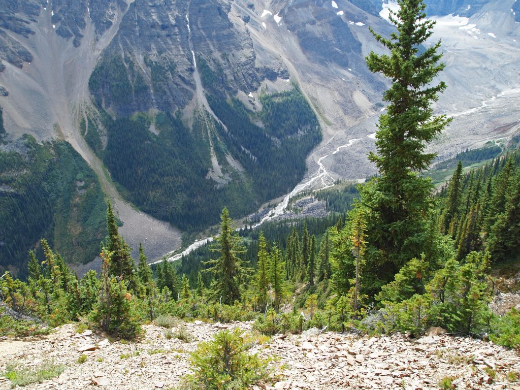
Here is a view to the path up the rest of the way, which involves crossing to the other side of the gully closer to the trees, where the ground has more grass cover, and then veering to the right and heading up.
This is the view the other way.
Now it’s time to turn around and head back the way I came to meet Nadine.
Some of the ledges I’m walking along are just like a natural staircase!
Here I’m crossing over another little gully.
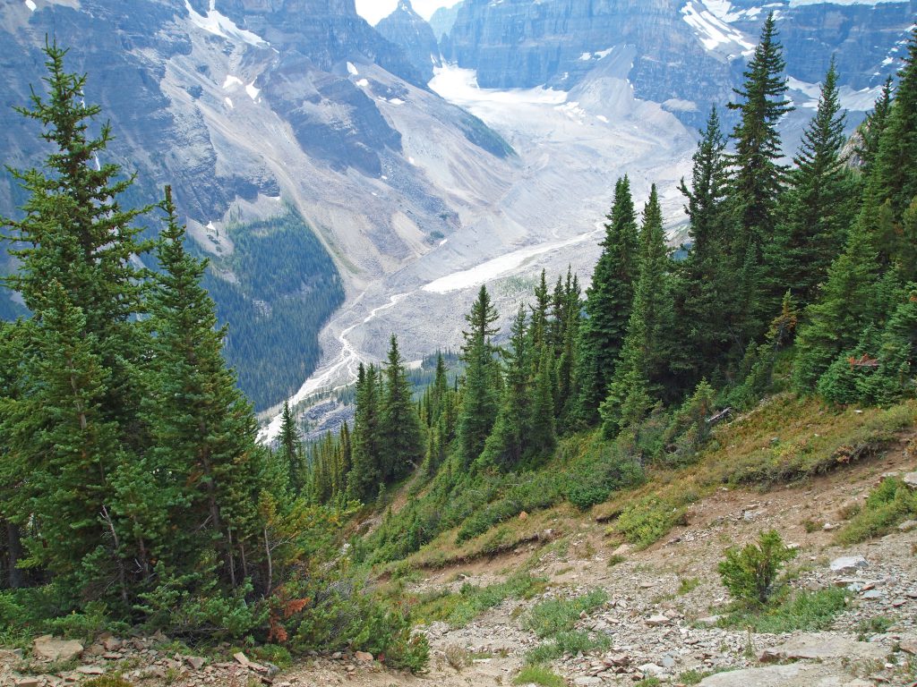
Taking a last look back up the valley behind me.
And I’m almost back to where Nadine is waiting.
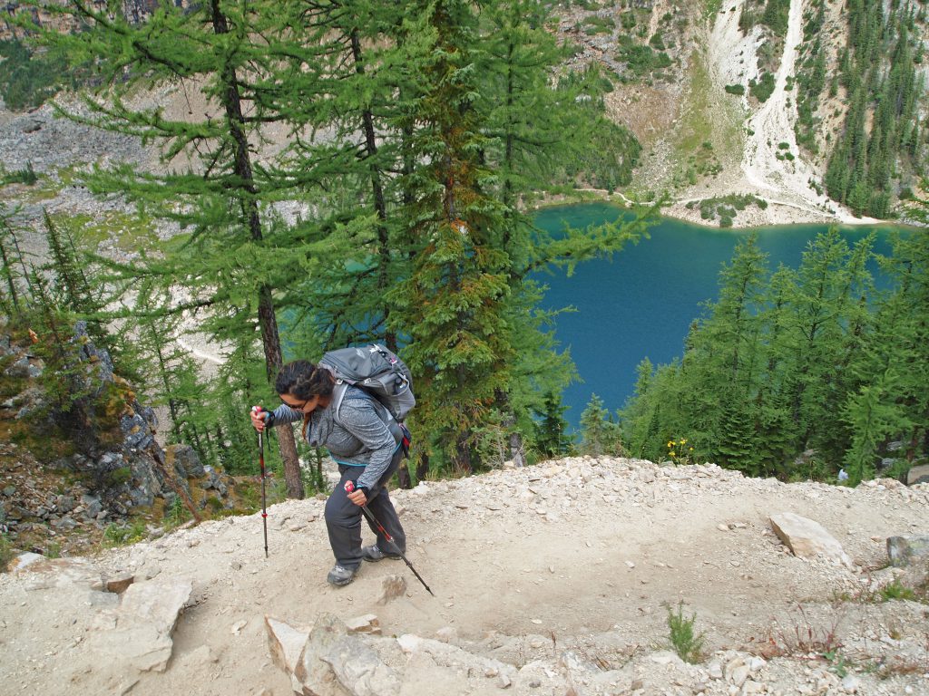
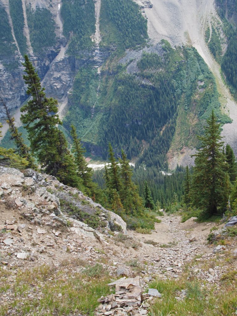
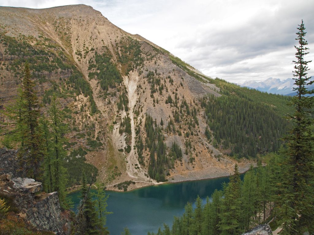
This is back at the top of the little rock scramble down to where Nadine is. There is a nice view down to Lake Agnes.
So before climbing down the other side off of the Beehive, we thought we’d take a quick walk out to the end.
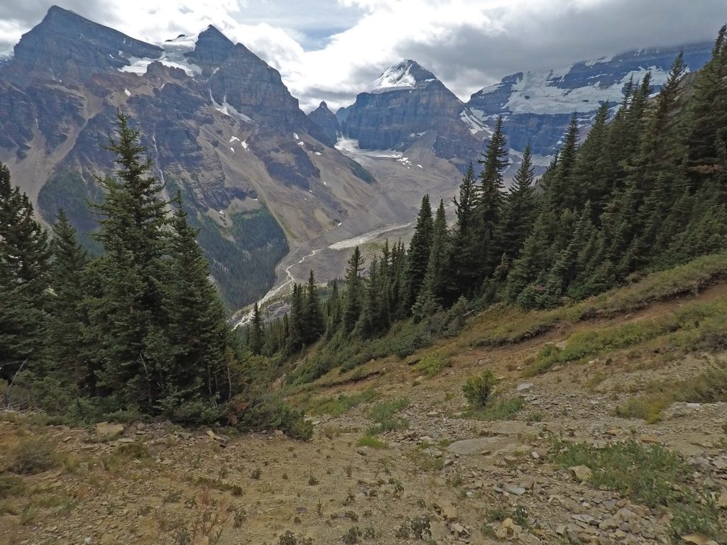
Even with the mostly cloudy skies, the views are nice from up here.
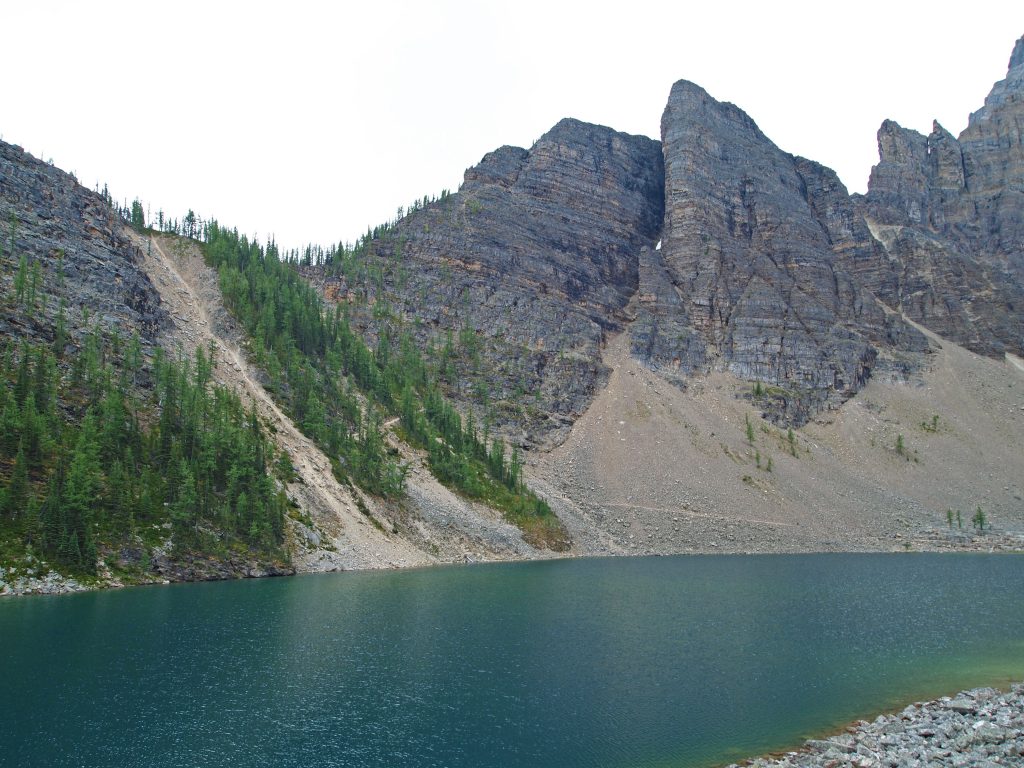
This image is looking across Lake Agnes (not visible) to Mount Niblock and Mount St. Piran.
This video is from the same spot as the previous photo, but with a bit more perspective.
After a short rest for a bite to eat at the gazebo at the end of the Beehive, we headed back over to the trail that would take us down to the highline trail.
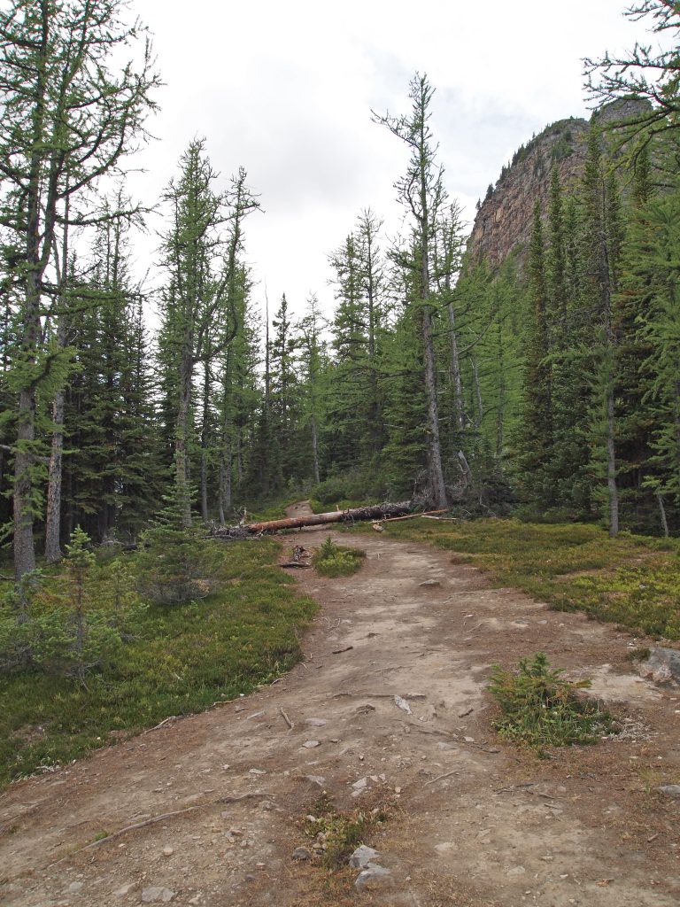
We walked down the switch-backed trail on the opposite side for what seemed like forever. I’m not posting any photos, because like the slog up to Lake Agnes, this section of trail is all in the trees.
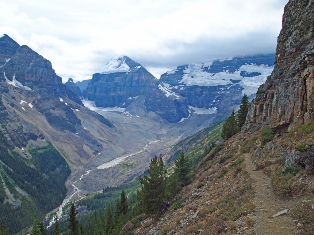
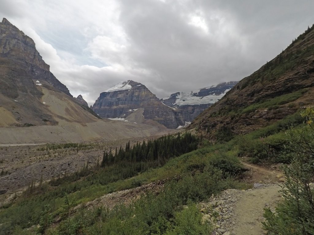
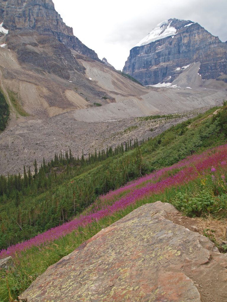
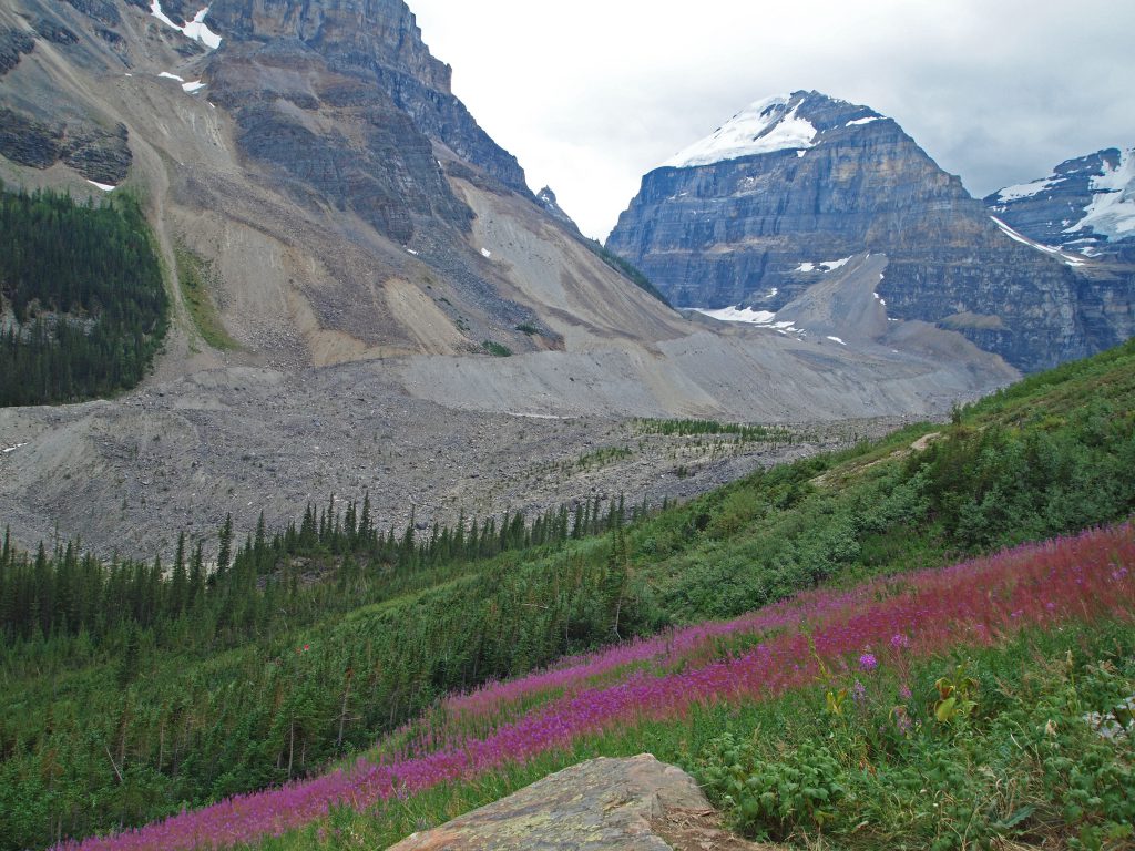
Once down at the highline trail, we knew we didn’t have enough time to make it out to the Plain of Six Glaciers Teahouse. We have dinner reservations down at the Post Hotel that we don’t want to miss, so we’ll have to head back to Lake Louise. However, we do have time to at least detour a few kilometers toward the Plain of Six Glaciers, and turn off where the Highline Trail intersects the Plain of Six Trail, and follow that back to the Lakeshore Trail.
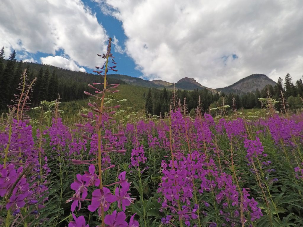
This ribbon of bright purple wildflowers provided a nice pop of colour.
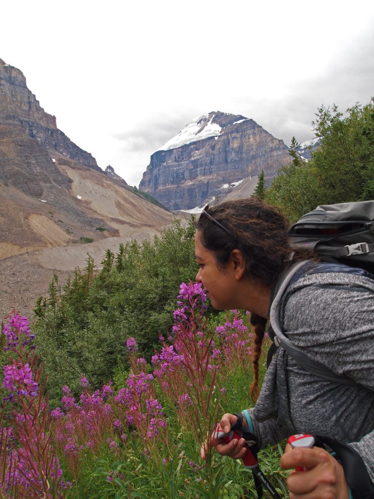
Here is Nadine stopping to smell the flowers!
When we got to the trail intersection, we made a sharp left and followed it back to Lake Louise.
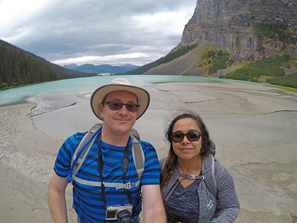
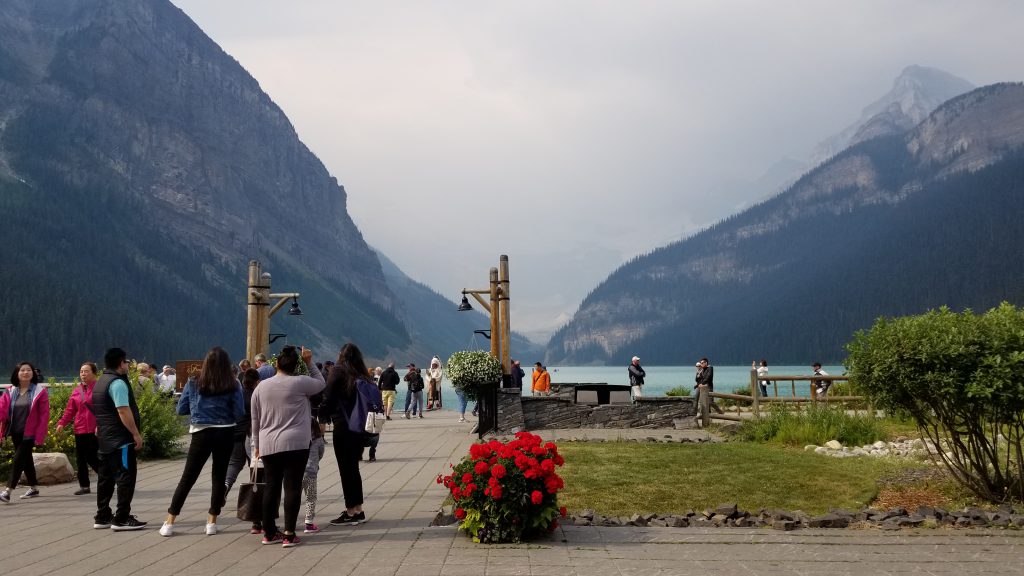
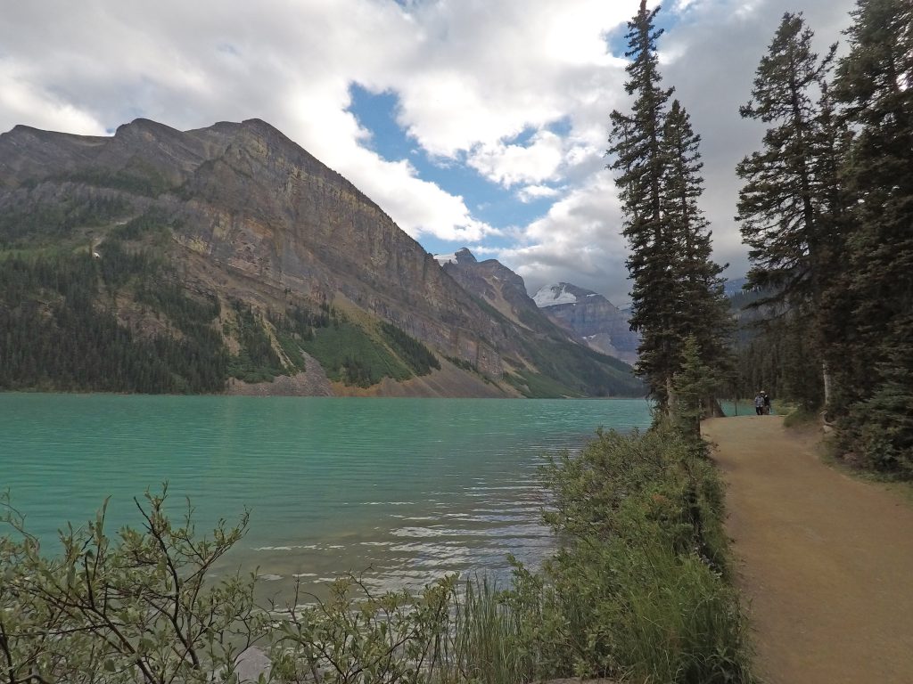
From this point, it is just a short and level walk of about 2.3 km back to our hotel at the other end of Lake Louise.
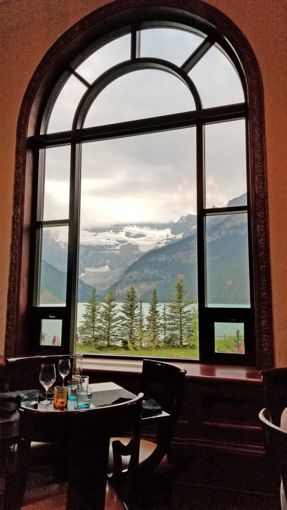
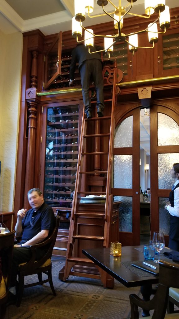
Back at the hotel, we got cleaned up and ready for our final dinner of this great vacation.
We hiked a total of 17.2 km today, and went from a starting elevation of 5,740 feet at Lake Louise to a maximum of 7,618 feet on the Devil’s Thumb Trail. Below is an elevation plot of the hike. As I found on the Lake O’Hara hike, we need to ignore the elevation recorded for about the first 500 meters as the GPS was still refining it’s fix.

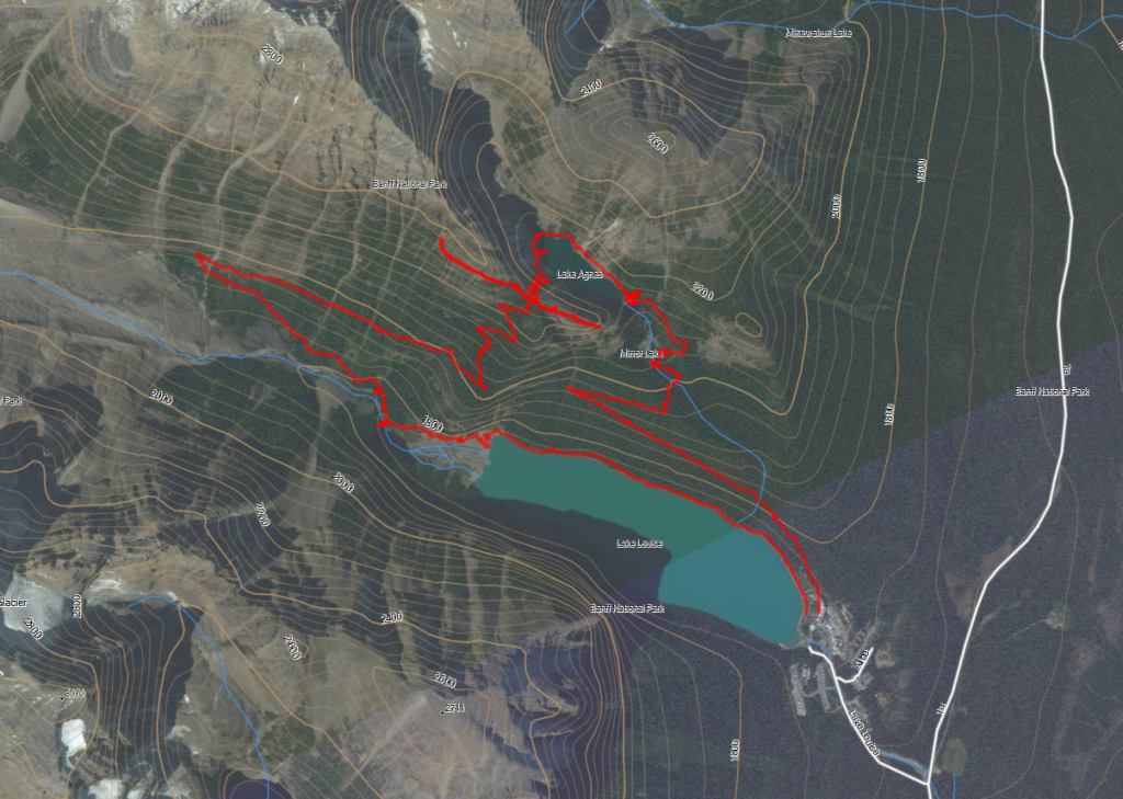
Below is a map showing our track today.